Indonesia Probes Land Use Violations Following Jakarta Flooding
Synopsis
The Indonesian Ministry of Environment and Forestry is investigating environmental law violations in West Java that may have contributed to recent flooding in Jakarta. Inspections revealed significant alterations in land use that threaten natural water retention and contribute to environmental degradation.
Key Takeaways
Inspection of upstream river areas in West Java.
Evidence of environmental law violations impacting flooding.
Changes in land use without proper permits.
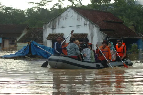
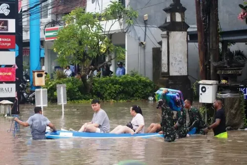
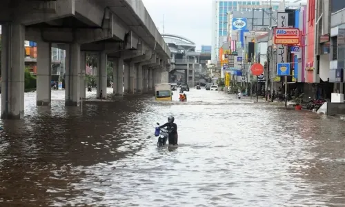
Flooding caused by overflow from Ciliwung and Cisadane rivers.
Significant environmental degradation and risks of landslides.
Jakarta, March 6 (NationPress) The Indonesian Ministry of Environment and Forestry conducted an inspection of the upstream river areas in West Java province on Thursday, revealing alleged violations of environmental regulations that are thought to have exacerbated the recent flooding in Jakarta and its neighboring regions over the past two days.
The ministry has set up four environmental monitoring boards in areas where the land's functions have been altered, making them incapable of retaining water. The landowners have been utilizing these plots without the required environmental permits.
Indonesian Environmental Minister Hanif Faisol Nurofiq stated that there are indications of environmental law violations at 33 additional sites in the upstream regions, particularly in Puncak Cisarua of Bogor regency.
"We will promptly escalate this matter to an investigation, as the natural conditions strongly indicate that modifications in spatial planning have led to the flooding," Hanif remarked during the inspection.
He emphasized that any alterations in land use must be backed by comprehensive scientific analysis, especially in upstream areas that act as groundwater catchments, according to reports from Xinhua news agency.
Data from the ministry indicates that 15,000 hectares of the upstream regions of the Ciliwung River should be designated for protected areas, national parks, production forests, water sources, and limited settlements. However, since 2022, around 8,000 hectares have been repurposed for agricultural and residential use.
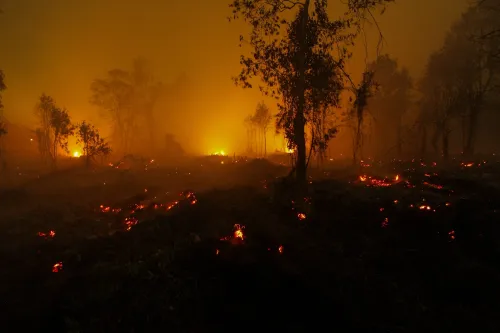
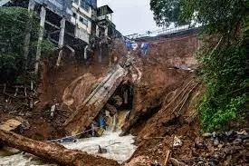
Moreover, 3,203.24 hectares in the upstream zones have become critically degraded, creating risks of landslides and erosion that could reach up to 180 tons per hectare each year.
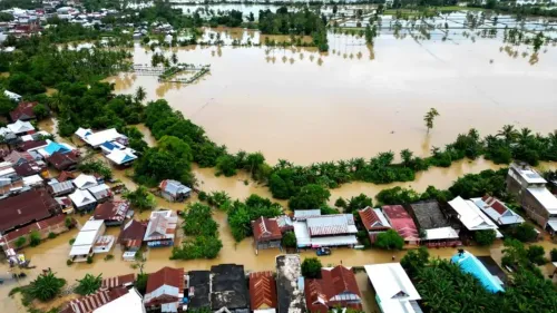
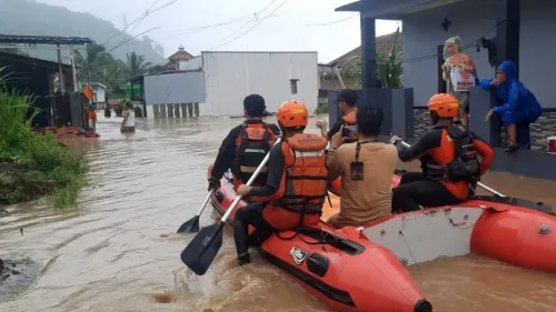
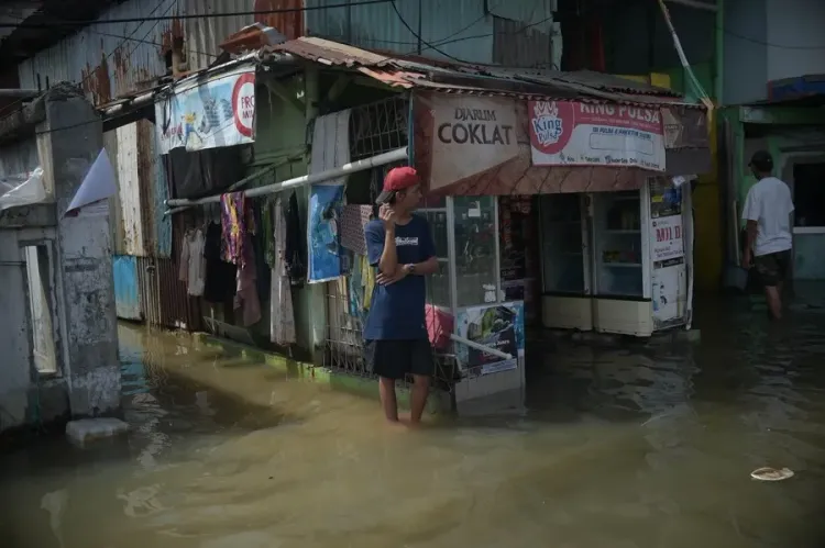
The recent flooding, caused by the overflow of the Ciliwung and Cisadane rivers that originate from Puncak Cisarua in Bogor regency, affected Jakarta and its satellite cities from Tuesday to Wednesday.
This disaster resulted in three fatalities, necessitated large-scale evacuations, and disrupted business activities, especially in goods transportation.