Is a Rain Front Set to Deliver Heavy Downpours Across Japan?
Click to start listening
Synopsis
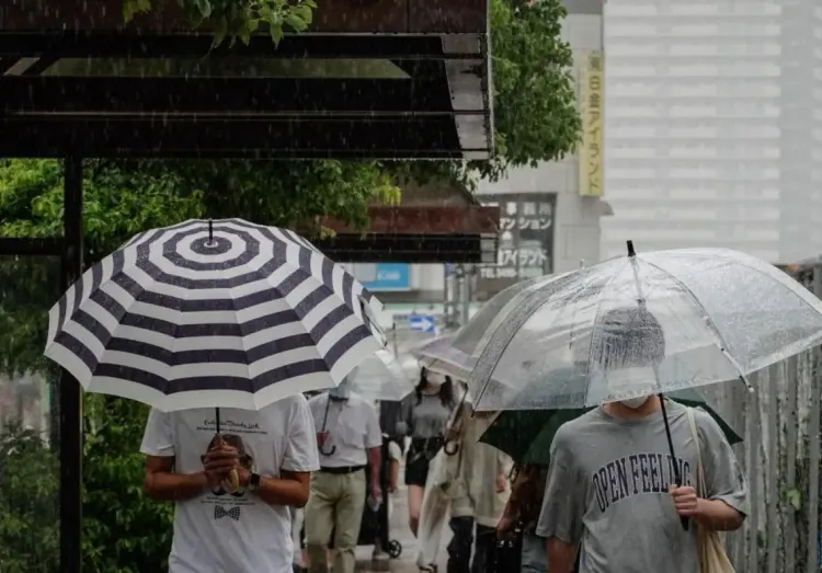
Japan braces for heavy rain as an autumn front brings unstable atmospheric conditions. With torrential rain already affecting the Shikoku region and warnings of further downpours, authorities urge caution against potential flooding and landslides. Stay informed about this evolving weather situation.
Key Takeaways
- Heavy rainfall expected across multiple regions in Japan.
- Warnings in place for landslides and flooding.
- Residents in affected areas should remain vigilant and prepared.
- Weather conditions are projected to remain unstable.
- Monitor updates from the Japan Meteorological Agency for safety tips.
Tokyo, Sep 11 (NationPress) The weather agency of Japan announced on Thursday that atmospheric conditions are highly unstable across various regions of the country due to an autumn rain front. Earlier that day, torrential rain was already impacting the Shikoku region in western Japan.
Heavy rain clouds formed over the southwestern prefectures of Nagasaki and Kumamoto early Wednesday, leading to intense rainfall, as reported by the Japan Meteorological Agency (JMA).
As of Thursday morning, these developed rain clouds extended over the regions of Shikoku, Hokuriku, and Tohoku, with the JMA indicating that the rain front is expected to remain nearly stationary for the next few hours, according to reports from Xinhua news agency.
Weather officials have issued warnings that unstable atmospheric conditions will persist in areas from Kyushu to Tohoku until late evening, with localized downpours likely in both western and eastern Japan.
Additionally, torrential rain is anticipated in parts of Hokkaido through the late evening due to a cold air mass and a trough of low pressure.
Rainfall accumulations during the 24-hour period leading up to Friday morning could reach 180 millimeters in southern Kyushu, 120 millimeters in the Kanto-Koshin region, and 100 millimeters in the Tokai region, according to the JMA.
The agency has cautioned against the risk of landslides, flooding in low-lying areas, river swelling, and flooding, as well as potential lightning strikes, sudden gusts of wind, and hail.
Earlier, on September 6, Tropical Storm Peipah caused injuries to 24 individuals and damaged 40 homes across four municipalities in the central Japanese prefecture of Shizuoka.
The most significant injuries occurred in Makinohara, where three individuals were severely hurt and 20 others suffered minor injuries.
Point of View
The ongoing weather conditions highlight the need for vigilance and preparedness among the population. The **Japan Meteorological Agency's** warnings serve as a reminder of nature's unpredictability, and it is vital for residents to take these alerts seriously to mitigate risks related to severe weather.
NationPress
14/09/2025
Frequently Asked Questions
What areas are most affected by the rain front?
The rain front is primarily affecting regions including **Shikoku**, **Kyushu**, **Hokuriku**, and **Tohoku**, with heavy rain expected in these areas.
What precautions should people take during heavy rainfall?
Residents should stay indoors, avoid low-lying areas prone to flooding, and remain updated on weather alerts issued by the JMA.
What are the expected rainfall measurements?
Rainfall could reach **180 millimeters** in southern **Kyushu**, **120 millimeters** in the **Kanto-Koshin** region, and **100 millimeters** in the **Tokai** region.
What risks are associated with the current weather conditions?
Increased risks include **landslides**, flooding in low-lying areas, and rapid river swelling, along with potential for **lightning strikes** and strong winds.
How can communities prepare for potential flooding?
Communities should have emergency plans in place, stock essential supplies, and ensure channels of communication are open for receiving weather updates.