Did Typhoon Nari Really Make Landfall on Japan's Hokkaido?
Synopsis
Typhoon Nari has made history by being the first typhoon to hit Hokkaido in July since 1951. Discover how this significant weather event is affecting the region and the precautions residents are taking amidst the storm's intensity.
Key Takeaways
Typhoon Nari made landfall on Hokkaido, the first since 2016.
Maximum wind speeds reached 87.48 km/h in Kushiro.
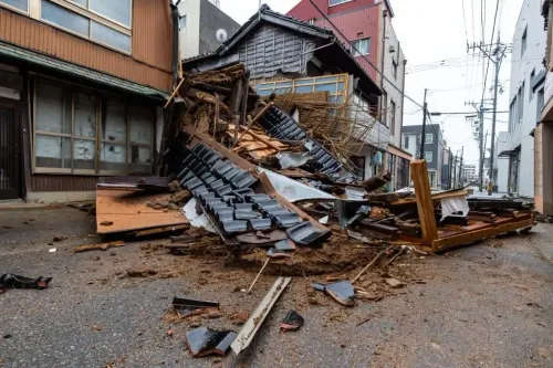
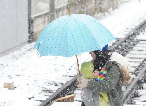
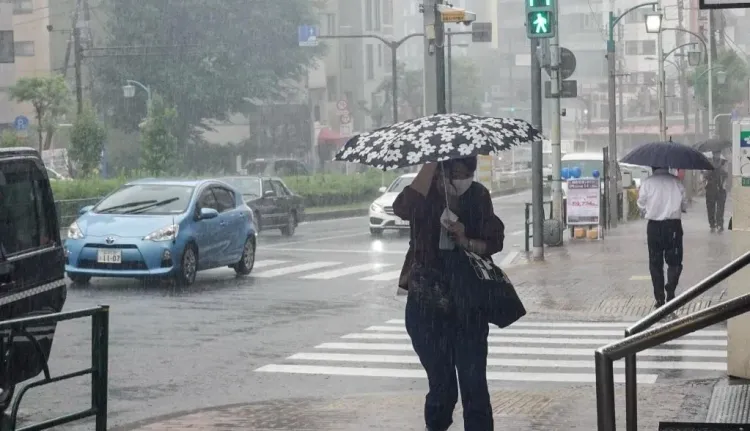
Evacuation advisories are in effect across Hokkaido and Tohoku.
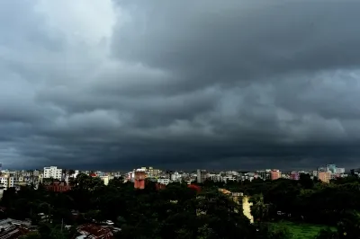
Heavy rainfall is expected, with significant amounts forecasted for various regions.
Climate change is affecting the timing and intensity of typhoons in Japan.
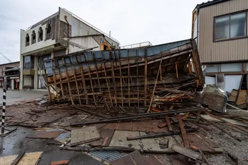
Tokyo, July 15 (NationPress) Typhoon Nari made its way across the coast of Hokkaido on Tuesday, marking the first instance of a typhoon making landfall on Japan's northern main island since 2016, as reported by the Japan Meteorological Agency.
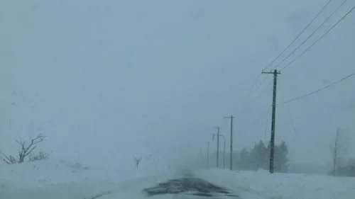
The storm struck near Cape Erimo at the southern end of Hokkaido at approximately 2 a.m. local time, making it the first typhoon to hit Hokkaido in July since records began in 1951, according to the weather agency.
This weather system developed over the weekend, about 200 km south of Chichijima Island in the Pacific, traveling along the eastern side of the Japanese archipelago before reaching Hokkaido, and transitioned into an extratropical cyclone by 9 a.m. local time.
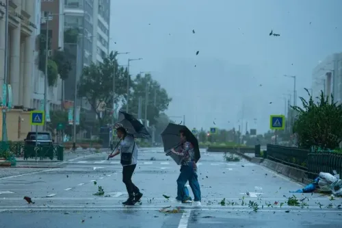
Weather officials urged residents to stay alert for strong winds in Hokkaido, with maximum gusts recorded at 87.48 km per hour in the city of Kushiro, as reported by Xinhua.
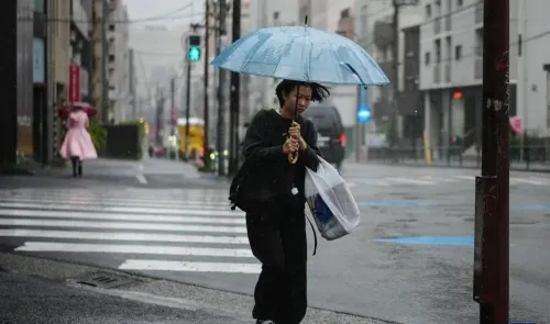
Typhoon Nari, the fifth named storm of the season, continues to affect Japan, bringing heavy rainfall and leading to evacuation advisories in multiple regions. Typically, Japan sees a surge in typhoons from August to September, but rising sea temperatures linked to climate change are causing storms to arrive earlier and with increased intensity.
As of Tuesday afternoon, there have been no reports of fatalities or significant injuries. However, local authorities across Hokkaido and parts of the Tohoku region have issued evacuation advisories, recommending residents seek shelter as a precaution.
The Japan Meteorological Agency noted a 30% rise in rainfall during typhoons from 1980 to 2010 compared to previous decades, indicating a trend toward more severe weather events.
Residual effects of Nari are expected to continue moving northeast over the Sea of Okhotsk, bringing additional rainfall through Wednesday in northern Japan. Forecasts suggest that the Kanto-Koshin region could receive up to 200mm of rain in the 24 hours leading to Tuesday evening, while Hokkaido may see up to 120mm, and the Tohoku region around 80mm.
On Monday, localized torrential rain was already reported, with 52mm falling in just one hour in the town of Ino in Kochi Prefecture and 32mm in Tamana city, Kumamoto Prefecture, highlighting the storm's severity.
Point of View
I recognize the profound impact of Typhoon Nari on Japan's northern regions. Our priority is to ensure that citizens receive accurate and timely information to stay safe. The evolving climate patterns necessitate our attention and action to better prepare for such extreme weather events in the future.
NationPress
3 Jul 2026
Frequently Asked Questions
What regions are affected by Typhoon Nari?
Typhoon Nari is primarily affecting Hokkaido and parts of the Tohoku region, with evacuation advisories issued for residents.
What precautions should residents take?
Residents are advised to seek shelter, stay indoors, and remain alert to updates from local authorities regarding weather conditions.
How much rainfall is expected?
Forecasts indicate that Hokkaido could receive up to 120mm of rain, while the Kanto-Koshin region might see up to 200mm in the next 24 hours.