

Madhya Pradesh heat wave: Khajuraho hits 44.8°C, relief likely after May 2
Synopsis
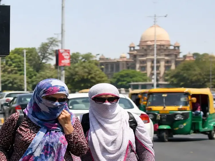
Madhya Pradesh is in the grip of a punishing heat wave, with Khajuraho hitting 44.8°C and Bhopal running 2.6 degrees above normal. The IMD warns of lightning and gusty winds as western disturbances approach — but a fresh weather system around May 2 means the respite will be short-lived.
Key Takeaways
Khajuraho recorded the state's highest temperature at 44.8°C on 29 April .
Bhopal hit 43.6°C , which is 2.6 degrees above the seasonal normal.
Heat wave conditions are affecting 10 districts including Vidisha, Raisen, Ratlam, Guna, and Sagar.
Gusty winds of 40–50 kmph and lightning are forecast for high-risk zones including Gwalior, Morena, and Rewa.
Temperatures may dip by 2°C over the next three days before rising again as a fresh western disturbance arrives around May 2 .
Pachmarhi recorded the lowest minimum temperature at 16.2°C , the sole cool spot in the state.
The India Meteorological Department (IMD) has issued alerts for extreme heat conditions across Madhya Pradesh, with Khajuraho recording the state's highest maximum temperature at 44.8 degrees Celsius on 29 April. A significant heat wave is currently gripping multiple districts, while atmospheric disturbances are expected to bring temporary relief after May 2.
Heat Wave Grip Across Districts
A severe heat wave is affecting districts including Vidisha, Raisen, Ratlam, Guna, Ashoknagar, Shivpuri, Sheopur, Satna, Damoh, and Sagar. In Bhopal, the maximum temperature reached 43.6 degrees Celsius — 2.6 degrees above the seasonal normal — making it one of the most intense heat spells of the season so far. Umaria district is also experiencing warm night conditions, with minimum temperatures remaining uncomfortably elevated.
At the other end of the spectrum, Pachmarhi recorded the state's lowest minimum temperature at 16.2 degrees Celsius, offering a rare pocket of relief amid the widespread heat.
Synoptic Systems Driving the Weather
IMD meteorologists have identified multiple atmospheric systems contributing to the current conditions. A western disturbance over north Pakistan, combined with cyclonic circulations over Punjab and Rajasthan, is expected to trigger thunderstorms, lightning, and gusty winds with speeds reaching 40 to 50 kmph across several parts of the state. High-risk zones include Gwalior, Datia, Bhind, Morena, Singrauli, Rewa, and adjoining districts in the eastern and northern regions.
The combination of intense solar radiation and high-velocity winds — recorded at 52 kmph in Sehore and 43 kmph in Bhopal — is creating a challenging environment for both public health and local infrastructure. Notably, the moisture-deprived condition of the soil is raising concerns about standing crops, with authorities calling for immediate irrigation intervention.
What the IMD Has Forecast
The Meteorological Centre has predicted a gradual fall in maximum temperatures by around 2 degrees Celsius over the next three days, followed by another rise as a fresh western disturbance approaches the region around May 2. Bhopal is expected to see mainly clear skies with average wind speeds of 14 to 16 kmph in the near term. The anticipated return of a western disturbance around May 2 suggests that while temperatures may see a temporary dip, the state should brace for continued weather fluctuations and possible lightning hazards through the coming week.
Advisories for Residents and Farmers
The IMD has advised residents to stay hydrated, avoid direct sunlight between 12 pm and 3 pm, and wear light-coloured cotton clothing. Farmers have been specifically cautioned to ensure frequent irrigation of crops and to keep livestock in shaded, well-ventilated shelters. Authorities have underscored the urgency of these measures given the current dry soil conditions and the risk to agricultural output across affected districts.
Point of View
Which denies the body its overnight recovery window and raises the public health risk well beyond what maximum temperature figures alone suggest. The IMD's May 2 forecast of another western disturbance also points to a familiar trap: brief weather disruption that breaks the heat wave narrative without delivering meaningful soil moisture, leaving farmers in a worse position than a clean dry spell would.
NationPress
1 May 2026
Frequently Asked Questions
Which district recorded the highest temperature in Madhya Pradesh on 29 April?
Khajuraho recorded the highest maximum temperature in Madhya Pradesh at 44.8 degrees Celsius on 29 April, according to the IMD. Bhopal followed at 43.6°C, which is 2.6 degrees above the seasonal normal.
Which districts are under heat wave alert in Madhya Pradesh?
The IMD has identified a significant heat wave affecting Vidisha, Raisen, Ratlam, Guna, Ashoknagar, Shivpuri, Sheopur, Satna, Damoh, and Sagar. High-risk zones for thunderstorms and lightning include Gwalior, Datia, Bhind, Morena, Singrauli, and Rewa.
When will the heat wave in Madhya Pradesh ease?
The IMD has forecast a gradual fall in maximum temperatures by around 2 degrees Celsius over the next three days. However, a fresh western disturbance approaching around May 2 is expected to cause temperatures to rise again, meaning sustained relief is unlikely in the near term.
What precautions has the IMD advised for residents?
The IMD has advised residents to stay hydrated, avoid direct sunlight between 12 pm and 3 pm, and wear light-coloured cotton clothing. Farmers have been advised to irrigate crops frequently and keep livestock in shaded, well-ventilated shelters.
What is causing the heat wave and thunderstorm risk simultaneously in Madhya Pradesh?
Meteorologists have identified a western disturbance over north Pakistan and cyclonic circulations over Punjab and Rajasthan as the key synoptic drivers. These systems are creating intense solar radiation combined with high-velocity winds — recorded at 52 kmph in Sehore — that raise both heat stress and lightning hazard across the state.