IMD Forecasts Rain in Tamil Nadu Amid Ongoing Heatwave
Synopsis
As Tamil Nadu battles a relentless heatwave, the IMD predicts light to moderate rainfall across various regions, offering a glimmer of hope for relief. Thunderstorms may also accompany the rain, but heat stress remains a concern. Stay informed about the weather changes and precautions to take.
Key Takeaways
Light to moderate rain is expected in Tamil Nadu.
Thunderstorms may occur in isolated regions.
Temperatures remain significantly high despite forecasted rain.
Public health precautions are essential during heatwave conditions.
Weather patterns may persist into mid-April.
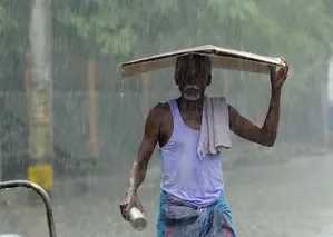
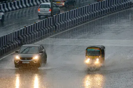
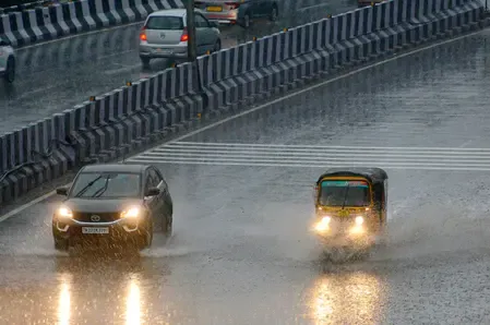
Chennai, April 8 (NationPress) Light to moderate rainfall is anticipated in various regions of Tamil Nadu on Wednesday, bringing a potential respite from the persistent heatwave, according to the India Meteorological Department. Thunderstorms and lightning may occur in isolated areas, particularly across southern Tamil Nadu, northern coastal districts, as well as Puducherry and Karaikal. The Western Ghats are also expected to receive some showers, while much of northern interior Tamil Nadu may remain predominantly dry.
In Chennai, the day will witness partly cloudy skies, with a possibility of moderate rain in certain areas. However, despite the forecasted rain, several districts continue to experience heatwave conditions.
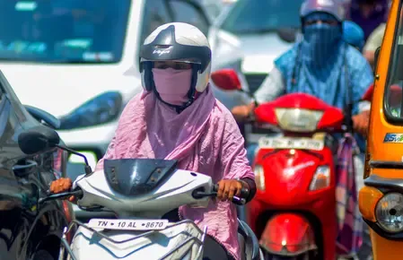
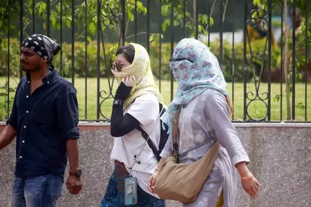
On Tuesday, temperature records showed that at least 12 locations reached extremely high levels, with Vellore being the hottest at 42.2 degrees Celsius. Karur followed closely at 41 degrees, while Erode and Namakkal reported temperatures near the 40-degree mark.
Other districts, such as Tirupattur (39.5 degrees), Tiruchy (39 degrees), and Tiruttani (38.9 degrees), also reported conditions close to a heatwave.
Additional areas, including Paramathi, Dharmapuri, and Palayamkottai, recorded elevated temperatures, while cities like Madurai, Salem, and Tiruchy airport saw mercury levels surpassing 37 degrees.
The IMD has indicated that the maximum temperatures in various parts of the State were 2-3 degrees above the normal range, highlighting ongoing heat stress conditions.
Weather specialists caution that, despite intermittent rainfall, there is unlikely to be a significant decrease in temperatures over the coming days.
Looking ahead, similar weather patterns are forecasted for April 9, with isolated rainfall expected across several regions.
Beginning April 10, scattered light to moderate showers may occur throughout Tamil Nadu, Puducherry, and Karaikal, gradually becoming limited to the Western Ghats and delta districts.
Meteorologists have pointed to a wind discontinuity stretching from eastern India to the Gulf of Mannar as a factor contributing to the current mix of heat and localized rainfall, which supports convective activity.
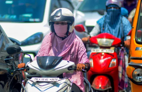
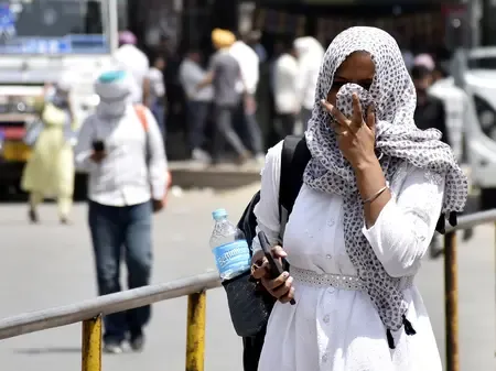
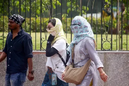
While brief showers may provide temporary relief, authorities advise the public to remain vigilant, stay hydrated, and avoid prolonged exposure to peak daytime heat, as above-normal temperatures are predicted to persist across many regions of the state.
Point of View
The IMD's rainfall prediction offers a brief respite from the extreme heat affecting Tamil Nadu. Despite the forecast, the persistence of high temperatures calls for continued vigilance and public safety measures. It’s essential for residents to stay hydrated and minimize heat exposure.
NationPress
15 Oct 2026
Frequently Asked Questions
What areas in Tamil Nadu are expected to receive rain?
Light to moderate rainfall is expected across southern Tamil Nadu, northern coastal districts, and regions like Puducherry and Karaikal.
What is the current temperature situation in Tamil Nadu?
Many districts in Tamil Nadu are experiencing temperatures 2-3 degrees above normal, with Vellore recording the highest at 42.2 degrees Celsius.
Will the rain significantly lower temperatures?
Weather experts indicate that despite the anticipated rainfall, there won't be a significant drop in temperatures in the upcoming days.
What precautions should residents take during the heatwave?
It is advised to stay hydrated, avoid prolonged exposure to the sun, and remain cautious even during brief rain showers.
When is the next rainfall expected in Tamil Nadu?
Scattered light to moderate rain is forecasted to begin from April 10 in various parts of Tamil Nadu.