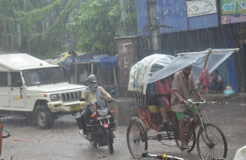
Chindwin River flood warning: Sagaing region on alert as water levels surge

Synopsis
Myanmar's meteorological authority has flagged a double threat: the Chindwin River has already breached danger levels in two Sagaing towns, and a strengthening El Nino — expected to turn 'very strong' by end-2026 — could make the entire monsoon season far more destructive than usual.
Key Takeaways
Myanmar's DMH issued a flood warning on 22 July for Sagaing region after the Chindwin River reached or exceeded danger levels.
In Paungbyin , the river is expected to rise a further six inches within 24 hours ; in Homalin , it has already surpassed the danger threshold.
A 10-day DMH forecast warns of heavy rainfall across Myanmar, with major rivers potentially rising by up to seven feet .
El Nino has intensified from weak to moderate and is forecast to become 'very strong' by end of 2026 , compounding flood and drought risks.
Residents of Homalin and Paungbyin townships have been urged to take immediate precautionary measures.
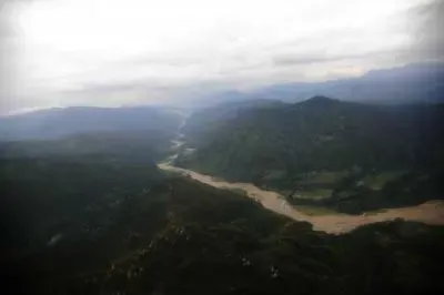
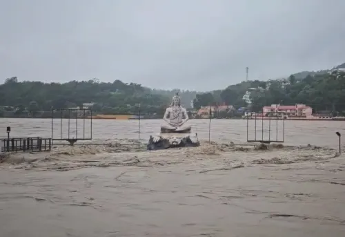
Myanmar's Department of Meteorology and Hydrology (DMH) on Wednesday, 22 July issued a flood warning for parts of Sagaing region after water levels in the Chindwin River reached or exceeded danger thresholds in the towns of Paungbyin and Homalin. Residents in low-lying areas and along riverbanks have been urged to take immediate precautionary measures.
Current River Levels
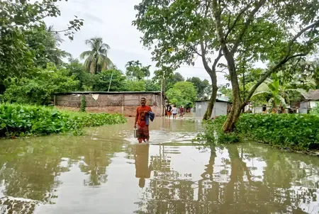
In Paungbyin, the Chindwin River reached its danger mark on Wednesday and is expected to rise by a further six inches over the next 24 hours. The situation is more acute in Homalin, where the river has already surpassed its danger level and is forecast to remain above the threshold through the same period. The DMH has specifically called on residents of both Homalin and Paungbyin townships to prepare for possible inundation.
Wider Rainfall Forecast Across Myanmar
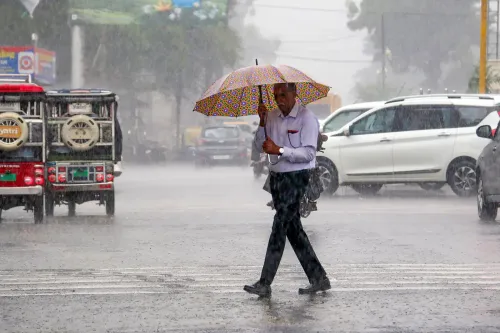
In a 10-day forecast issued on Tuesday, the DMH predicted widespread rainfall and isolated heavy downpours across large parts of Myanmar. Water levels in several of the country's major rivers — including the Ayeyarwady, Chindwin, Sittaung, and Thanlwin — could rise by as much as seven feet in affected townships during the forecast window. This places millions of people living near these river systems at heightened risk.
El Nino Threat Compounds Flood Risks
The DMH also flagged a longer-term climatic concern, warning of potential extreme weather events in the coming months as El Nino conditions have developed in the tropical Pacific Ocean. U Hla Tun, a director at the DMH, said the phenomenon has escalated from weak to moderate intensity and could intensify further. 'We have been issuing updates on El Nino since it first developed under weak conditions. It has now reached a moderate level and is expected to become very strong by the end of this year,' he said.
According to forecasts from international meteorological agencies, strong El Nino conditions may develop as early as August, with very strong conditions anticipated by the end of 2026. While El Nino originates in the Pacific, its downstream effects can include irregular rainfall, elevated daytime temperatures, abnormal storm activity, and drought across affected regions — all of which carry serious implications for Myanmar's flood-prone geography.
Why This Matters
Myanmar's Sagaing region is among the country's most flood-vulnerable areas, with its dense network of rivers and low-lying agricultural plains regularly inundated during the monsoon season. The convergence of immediate river surges and a strengthening El Nino cycle represents a compounded risk for communities already under stress. Notably, this warning comes during a period when Myanmar's disaster response infrastructure faces significant capacity constraints. Authorities and residents alike are being advised to monitor DMH updates closely as conditions evolve.
Point of View
But the El Nino disclosure buried in the same bulletin is the more consequential signal. Myanmar's disaster response capacity is already stretched; a 'very strong' El Nino by year-end would stress river systems, agriculture, and displacement patterns simultaneously. The DMH's candour about El Nino's intensification is notable — but warnings alone do not move people or pre-position relief supplies. The gap between meteorological accuracy and on-ground preparedness is where lives are lost, and that gap remains unaddressed in this bulletin.
NationPress
21 Oct 2026
Frequently Asked Questions
Which areas in Myanmar are at risk of flooding right now?
The towns of Homalin and Paungbyin in Sagaing region are currently at highest risk, as the Chindwin River has reached or exceeded danger levels at both locations as of 22 July. The DMH has urged residents in low-lying areas and along riverbanks in both townships to take immediate precautions.
How much could the Chindwin River rise in the next 24 hours?
In Paungbyin, the river is expected to rise by approximately six inches within the next 24 hours. In Homalin, the river has already exceeded its danger level and is forecast to remain above the threshold during the same period.
What is El Nino and why does it matter for Myanmar's floods?
El Nino is a periodic warming of the tropical Pacific Ocean that disrupts global weather patterns, causing irregular rainfall, higher temperatures, and abnormal storm activity. For Myanmar, the DMH warns that a strengthening El Nino — expected to become 'very strong' by end of 2026 — could intensify flooding, drought, and extreme weather events in the coming months.
Which major rivers in Myanmar could see dangerous water level rises?
The DMH's 10-day forecast warns that water levels in the Ayeyarwady, Chindwin, Sittaung, and Thanlwin rivers could rise by as much as seven feet in affected townships during the forecast period.
When could El Nino conditions peak in Myanmar?
According to the DMH, citing international meteorological agency forecasts, strong El Nino conditions may develop in August 2026, with very strong conditions expected by the end of 2026.