Assam CM launches digital flood damage assessment drive
Synopsis
Assam has launched a digital flood damage assessment programme, with CM Himanta Biswa Sarma inaugurating a training drive for district officials. The initiative aims to replace slow manual surveys with faster, standardised digital data collection — cutting delays in flood relief delivery across the state's most vulnerable districts.
Key Takeaways
The Chief Minister's Office of Assam announced the launch of a digital flood damage assessment programme on August 8, 2026 .
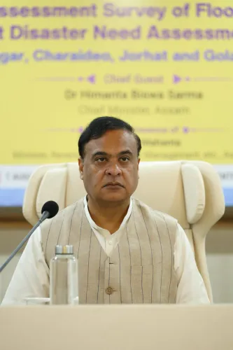
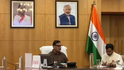
CM Himanta Biswa Sarma inaugurated a training programme for district officials to conduct digital surveys of flood losses.
The initiative targets faster, more transparent, and more accurate evaluation of damage across flood-affected districts.
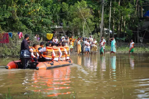
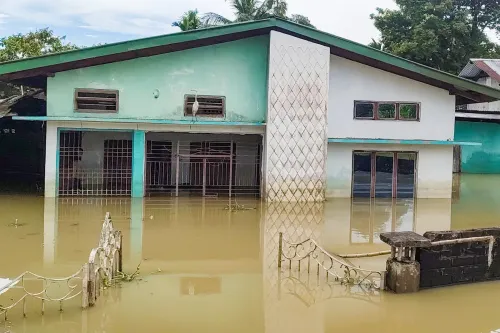
Assam faces annual flooding from the Brahmaputra and Barak river systems, with manual surveys historically delaying relief.
The phased rollout across flood-prone districts will determine whether digital data collection shortens compensation timelines for affected families.
Every monsoon, Assam drowns — and so does the paperwork. The Chief Minister's Office of Assam announced on Saturday, August 8, 2026, that the state will begin a digital flood damage assessment programme, promising faster, more transparent, and more accurate evaluation of losses across flood-hit districts.
Why paper-based surveys keep failing flood victims
Assam's annual confrontation with the Brahmaputra and Barak river systems is one of India's most predictable disasters — and yet, for decades, the relief machinery that follows has been anything but predictable. Traditional, manual surveys of crop loss, home damage, and infrastructure destruction are slow, inconsistent, and vulnerable to gaps in reporting. Affected families wait weeks, sometimes months, before compensation reaches them. The digital assessment initiative is a direct attempt to break that cycle.Training district officials for on-ground digital surveys
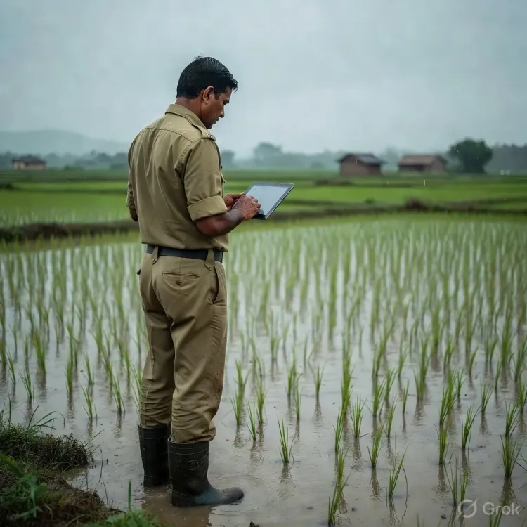
Chief Minister Himanta Biswa Sarma inaugurated a training programme equipping district-level officials with the tools and methods needed to conduct digital surveys in the field. The shift moves assessment away from handwritten ledgers toward structured digital data collection, which can be compiled, cross-checked, and acted upon far more rapidly. Standardised digital formats also reduce the scope for under-reporting or inflated claims — a persistent concern in manual systems. The initiative targets flood-affected districts across the state, aiming to build a replicable model before the next peak monsoon cycle intensifies. Phased rollout across Assam's most flood-prone zones will be the real test of whether the technology translates into meaningfully shorter timelines for relief disbursal.Assam's long road to data-driven disaster response
Successive governments in Guwahati have attempted to modernise disaster response, but digital integration at the district level has remained patchy. This programme represents an incremental but consequential step: if district administrations can generate reliable, real-time damage data, the state government gains the ability to prioritise resources precisely rather than reactively. Flood-affected populations — farmers, daily-wage workers, rural homeowners — stand to gain the most from a system where their losses are recorded accurately and acted upon swiftly. The credibility of the programme will ultimately rest on one metric: how quickly verified compensation reaches a farmer in a submerged village in the Brahmaputra floodplain. That number is still to be written.Point of View
A credible improvement in flood compensation delivery carries real political weight in rural constituencies that bear the brunt of annual inundation. The deeper question is institutional: whether district administrations, often under-resourced during active flood events, can sustain digital data discipline under field conditions. If the rollout holds, it could become a template other flood-prone northeastern states are pressed to replicate.
NationPress
8 Aug 2026
Frequently Asked Questions
What is Assam's digital flood damage assessment programme?
It is a state government initiative that replaces traditional manual flood surveys with structured digital data collection, allowing district officials to record crop, home, and infrastructure losses more quickly and accurately, speeding up relief disbursal to affected families.
Who launched the digital flood survey training in Assam?
Chief Minister Himanta Biswa Sarma inaugurated the training programme for district-level officials to conduct digital flood damage assessments across Assam's flood-affected districts.
Why does Assam need digital flood surveys?
Assam faces severe annual flooding from the Brahmaputra and Barak rivers. Manual surveys have historically been slow and inconsistent, delaying compensation for farmers and homeowners by weeks or months. Digital surveys aim to cut that lag significantly.
Which districts in Assam will the digital assessment cover?
The programme targets flood-affected districts across Assam, with a phased rollout planned for the state's most flood-prone zones, though a final district-by-district schedule has not been publicly detailed.
How will digital flood assessment help flood victims in Assam?
By standardising and speeding up damage data collection, the system aims to get accurate loss records to state authorities faster, enabling quicker and fairer compensation payments to flood-affected farmers, homeowners, and daily-wage workers.