CM Chandrababu Reviews Cyclone Arnab Relief in AP
Synopsis
CM Chandrababu Naidu reviewed Cyclone Arnab relief on 29 Oct 2026: 629 villages await power, 2,396 km of roads damaged, and a preliminary 3.33 lakh hectares of crops affected across 16 Andhra Pradesh districts.
Key Takeaways
4,771 of 5,400 affected villages under APEPDCL have had power restored; 629 villages remain without electricity.
APCPDCL has reconnected 835 of 915 villages in Krishna district; 80 still pending .
2,396 km of roads damaged across state and major district highways; West Godavari worst-hit at 552 km .
Preliminary reports show 3,33,268 hectares of agricultural cropland affected across 16 districts ; final loss assessment pending.
22,452 hectares of horticultural crops affected in 15 districts , with Konaseema accounting for nearly half at 11,229 hectares .
34 locations remain inaccessible by road and 19 culverts/drainage structures are yet to be repaired.
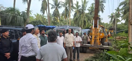
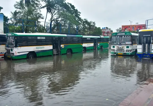
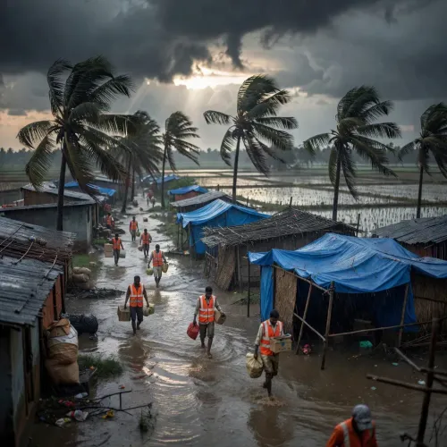
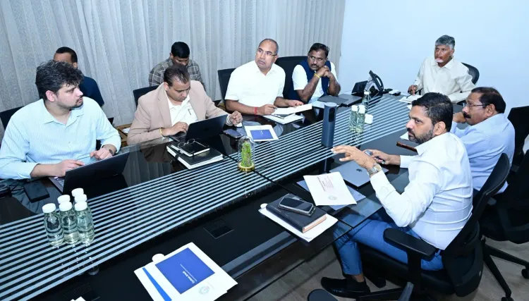
Thousands of villages are still waiting for the lights to come back on. Andhra Pradesh Chief Minister Nara Chandrababu Naidu on Thursday, 29 October 2026, convened a high-level review of relief and restoration operations following Cyclone Arnab, which struck the state's coastal districts and left a wide trail of damage to power infrastructure, roads, and standing crops across 16 districts.
Power Restoration: 4,771 of 5,400 Villages Back Online Under APEPDCL
The numbers tell a story of rapid but incomplete recovery. Under APEPDCL (Andhra Pradesh Eastern Power Distribution Company Limited), which serves the eastern coastal belt, electricity has been restored to 4,771 of the 5,400 affected villages — leaving 629 villages still in the dark. In the central districts, APCPDCL (Andhra Pradesh Central Power Distribution Company Limited) reports that 835 of 915 affected villages in Krishna district have been reconnected, with 80 villages yet to receive supply. The dual-agency nature of Andhra Pradesh's power grid — a legacy of the state's 2014 bifurcation — means restoration timelines can differ sharply by geography, and both agencies are now working against the clock.
2,396 Km of Roads Damaged — West Godavari Takes the Worst Hit
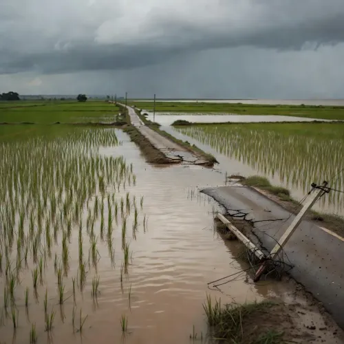
The cyclone punished the state's road network hard. Across Roads and Buildings (R&B) jurisdiction, 2,396 kilometres of major district and state highways have been damaged. West Godavari bore the heaviest load at 552 km, followed by Konaseema (396 km), East Godavari (372 km), Srikakulam (309 km), Anakapalli (236 km), and Vijayanagaram (211 km).
Of 62 road breaches, 22 have been repaired; of 34 gaps, 13 are cleared. Engineers have also restored 83 of 102 damaged culverts and cross-drainage structures. All 2,264 fallen trees on roads have been removed — including 183 cleared in a single two-hour window between 6 and 8 PM, with 127 from Kakinada alone. Of 133 locations where movement was blocked, 99 are now open; 34 remain cut off.
333,268 Hectares of Crops in 16 Districts Under Threat
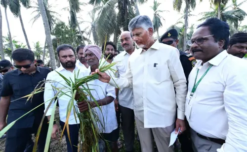
The agricultural toll is the most uncertain — and potentially the most consequential. A preliminary report places 3,33,268 hectares of agricultural cropland across 16 districts under cyclone impact. West Godavari leads with 76,752 hectares, followed by Kakinada (52,253 ha), East Godavari (49,959 ha), Konaseema (46,845 ha), and Krishna (44,836 ha). The Agriculture Department flagged a critical timing problem: many crops are currently in their flowering and grain-formation stages — the most vulnerable window. The department noted that waterlogging is gradually receding, offering some relief to submerged fields. Final crop loss figures are yet to be certified.
Konaseema Accounts for Half of All Horticultural Losses
The storm also tore through horticulture. Across 15 districts, 22,452 hectares of horticultural crops have been affected. Konaseema alone accounts for 11,229 hectares — roughly half the total — with East Godavari (4,423 ha) a distant second. Other affected districts include Krishna (1,350 ha), Bapatla (1,182 ha), Kakinada (1,048 ha), West Godavari (903 ha), Eluru (415 ha), and Guntur (415 ha).
Andhra Pradesh's coastline on the Bay of Bengal has made this kind of post-cyclone audit a grim routine. After Cyclone Hudhud in 2014, the Naidu administration built rapid-restoration protocols for exactly these scenarios — district-wise power and road checklists, phased clearance timelines, and early agriculture loss mapping. That institutional muscle is now being tested again. The final crop assessment and any central government relief allocation will define the relief chapter that follows.
Point of View
Nearly 700 villages still off the grid, and hundreds of road breaches — underlines how Andhra Pradesh's coastal geography makes it a perennial frontline in India's climate vulnerability map. CM Naidu's decision to chair a granular district-wise review within hours reflects the post-Hudhud institutional reflex his administration built in 2014. The real political and economic test, however, lies ahead: the final crop loss certification will determine the compensation quantum, and any delay risks deepening distress among farmers already caught at the worst stage of their crop cycle. Whether the Centre responds with supplementary relief funds — or leaves the state to manage alone — will shape the next political conversation in Amaravati.
NationPress
30 Oct 2026
Frequently Asked Questions
How many villages in Andhra Pradesh lost power due to Cyclone Arnab?
A total of 5,400 villages under APEPDCL and 915 villages in Krishna district under APCPDCL lost power. As of 29 October 2026, 629 APEPDCL villages and 80 APCPDCL villages are still awaiting restoration.
Which district was most affected by road damage from Cyclone Arnab?
West Godavari recorded the highest road damage at 552 km , out of a total 2,396 km of state and district roads damaged across Andhra Pradesh.
How much agricultural land was damaged in Andhra Pradesh by Cyclone Arnab?
Preliminary reports indicate 3,33,268 hectares of agricultural cropland across 16 districts were impacted. The final crop loss figure is yet to be officially certified.
Which district suffered the most horticulture damage from Cyclone Arnab?
Konaseema district suffered the most, with 11,229 hectares of horticultural crops affected — nearly half of the total 22,452 hectares affected across 15 districts.
What is APEPDCL and why is it important in the Cyclone Arnab response?
APEPDCL (Andhra Pradesh Eastern Power Distribution Company Limited) manages electricity supply across eastern coastal districts of Andhra Pradesh — the areas most exposed to Bay of Bengal cyclones — making it a key agency in post-storm power restoration.