GSI Receives Approval from Cabinet to Collaborate with Italy's CNR-IRPI on Landslide Prediction and Early Warning Systems
New Delhi, Dec 10 (NationPress) The Ministry of Mines declared on Tuesday that the Geological Survey of India (GSI) is set to formalize a Memorandum of Understanding with The Research Institute for Geo-Hydrological Protection of the National Research Council (CNR-IRPI), Italy, aimed at collaboration in landslide forecasting and early warning.
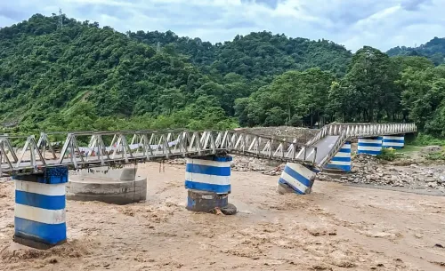
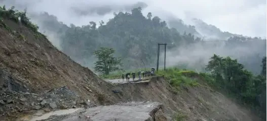
According to the Ministry, during the Union Cabinet meeting on December 6, 2024, the proposed MoU between GSI and CNR-IRPI was approved. This collaboration seeks to enhance knowledge and acquire skills in landslide forecasting and early warning through joint research efforts. It is vital to improve and elevate India's Landslide Early Warning Systems (LEWS) to meet international standards, thus enabling better prediction and mitigation of damages caused by landslides, as experienced during the Wayanad landslide in Kerala.
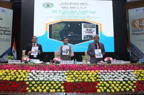
GSI has established a cutting-edge National Landslide Forecasting Center (NLFC) in Kolkata to develop and implement regional LEWS across all landslide-prone states and Union Territories in India within a designated timeframe, aiming to minimize landslide risks throughout the country.
The vision of NLFC is to deliver timely information on landslide forecasting to stakeholders and local communities, thereby enhancing preparedness and reducing landslide risks.
Currently, NLFC provides live forecast updates daily for the Kalimpong and Darjeeling districts of West Bengal and the Nilgiri district of Tamil Nadu.
Additionally, ground testing of the bulletin is underway in 13 districts.
The Research Institute for Geo-Hydrological Protection (CNR-IRPI) in Italy is recognized as a premier institution in developing regional LEWS models, which include detailed spatial and temporal resolutions and nowcasting capabilities.
This collaboration will integrate GSI's landslide inventory, susceptibility, and forecasting maps with PM Gati Shakti, thereby enhancing resilience and reducing vulnerability in delicate hilly regions.
The LEWS will serve as an essential tool to safeguard lives and prevent destruction in hilly areas, promoting sustainable development and environmental preservation. Plans are underway to broaden the forecasting system to cover additional districts, with enhanced spatial and temporal resolution across highly landslide-prone areas, as stated.