India's River Basin Management Scheme: Strengthening Water Governance for Sustainability
Synopsis
Discover how India's River Basin Management Scheme is revolutionizing water governance by focusing on major river basins. This initiative aims to ensure sustainable water usage and ecological preservation, providing a roadmap for the future of water resource management in the country.
Key Takeaways
Focus on Major Basins: The scheme prioritizes key river basins like Brahmaputra, Barak, Teesta, and Indus.
Estimated Budget: Funding of Rs 2,183 crore is allocated for 2026–2031.
Utilization of Modern Technologies: GIS, remote sensing, and drones enhance project planning.
Addressing Regional Needs: Central support is provided to states needing assistance in water management.
Integrated Approach: The scheme aims at sustainable water usage benefiting agriculture and energy sectors.
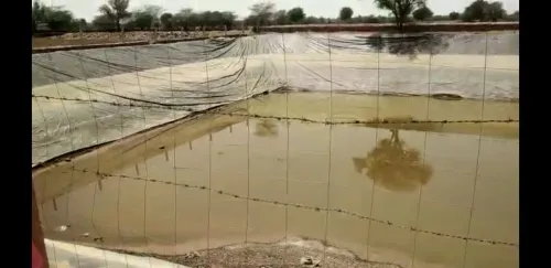
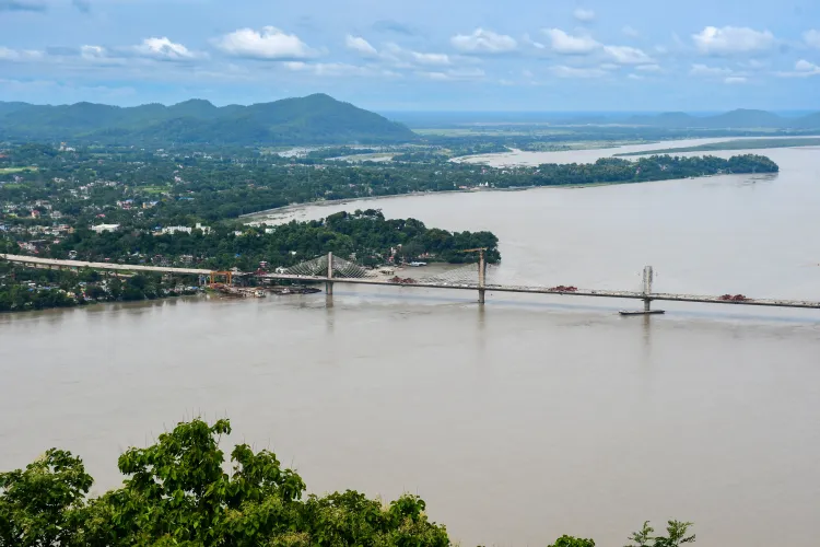
New Delhi, April 17 (NationPress) The River Basin Management Scheme of India is focusing on key river basins such as the Brahmaputra, Barak, Teesta, and Indus to promote the sustainable use, conservation, and enhancement of both surface and groundwater resources, as detailed in a government fact sheet published on Friday.
This initiative is set to continue from 2026 to 2031 with a projected budget of Rs 2,183 crore allocated for various river basins.
Advanced technologies like GIS, remote sensing, LiDAR, and drone surveys are being employed to enhance river basin management and facilitate future projects. Water management is crucial for agriculture, industry, energy production, and overall human health. The goal of the scheme is to foster sustainable water usage while reinforcing irrigation, hydropower, and flood management strategies.
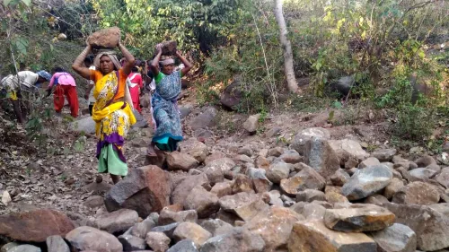
Given India's intricate and interconnected river systems, basin-level planning has become vital for tackling issues like flooding, erosion, inconsistent water distribution, and ecological harm. Understanding these challenges, the River Basin Management (RBM) Scheme is being executed in an organized and scientific way, as highlighted by the official statement.
The RBM is a central sector initiative managed by the Department of Water Resources, River Development, and Ganga Rejuvenation under the Ministry of Jal Shakti. Its implementation involves three primary organizations: the Brahmaputra Board, the Central Water Commission (CWC), and the National Water Development Agency (NWDA). They facilitate activities like creating basin master plans, surveying and evaluating projects, and planning multipurpose initiatives.
The scheme also targets capacity deficiencies in regions such as Jammu & Kashmir, Sikkim, Mizoram, Manipur, and Nagaland, which need federal assistance for project planning and execution.
River basin projects are often situated in challenging and remote areas, especially in the North East and Jammu & Kashmir, where operational seasons are limited and logistical issues arise. Finalizing Detailed Project Reports (DPRs) is anticipated to enhance irrigation capacity, hydropower output, and flood management.
The NWDA component is centered on national-level water resource planning, particularly under the Interlinking of Rivers (ILR) program. Its main responsibilities include crafting pre-feasibility, feasibility reports, and detailed project reports.
Basin planning is fundamental to this framework, involving the creation and regular updates of river basin master plans. These plans establish a long-term strategy for developing, utilizing, and conserving water resources in each basin.
The focus of project development is on preparing DPRs for multipurpose water resource ventures. This also encompasses flood and erosion management planning, drainage development, and other efforts aimed at ensuring systematic project execution.
Point of View
I observe that India's River Basin Management Scheme represents a proactive approach to addressing the multifaceted challenges of water resource management. By leveraging advanced technologies and fostering inter-agency collaboration, the initiative seeks to ensure sustainable water governance that benefits both the environment and the economy.
NationPress
20 Jun 2026
Frequently Asked Questions
What is the purpose of India's River Basin Management Scheme?
The scheme aims to promote sustainable use, protection, and development of surface and groundwater resources across major river basins.
How much funding is allocated to the River Basin Management Scheme?
An estimated budget of Rs 2,183 crore is allocated for the implementation of the scheme from 2026 to 2031.
Which technologies are being used in this scheme?
Technologies such as GIS, remote sensing, LiDAR, and drone-based surveys are utilized to enhance river basin planning and management.
Which organizations are involved in implementing the RBM Scheme?
The Brahmaputra Board, Central Water Commission (CWC), and National Water Development Agency (NWDA) are the key organizations involved in the scheme's execution.
How does the scheme address regional disparities?
The scheme targets capacity gaps in states such as Jammu & Kashmir, Sikkim, Mizoram, Manipur, and Nagaland, providing central support for project planning and development.