How is MP Coping with Unseasonal Rains and Temperature Changes Due to Western Disturbance?
Synopsis
Madhya Pradesh has encountered unexpected weather changes, including unseasonal rains and significant temperature drops, due to a **Western Disturbance**. This situation demands attention as the **IMD** advises farmers and residents to stay prepared for further weather fluctuations.
Key Takeaways
Madhya Pradesh is experiencing unusual weather due to a Western Disturbance .
Temperatures have dropped significantly in certain districts.
Farmers are advised to take precautions with their crops.
Thunderstorm warnings have been issued for various regions.
Monitoring weather alerts is crucial for safety.
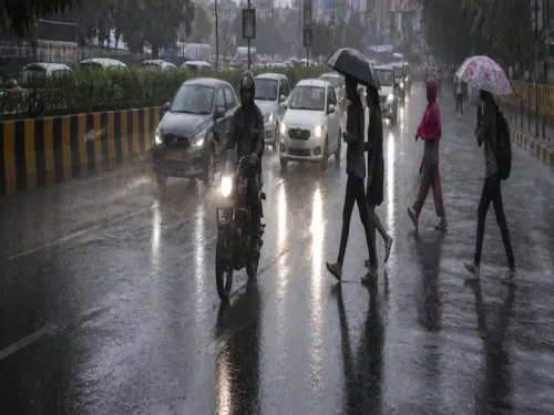
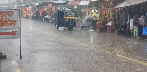
Bhopal, Feb 19 (NationPress) Madhya Pradesh has experienced an unusual blend of weather conditions in the last 24 hours, influenced by a persistent Western Disturbance over northern Rajasthan and adjacent Punjab-Haryana regions, as reported by the India Meteorological Department (IMD) Bhopal center.
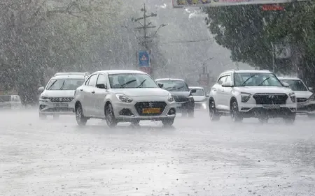
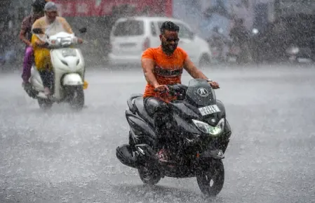
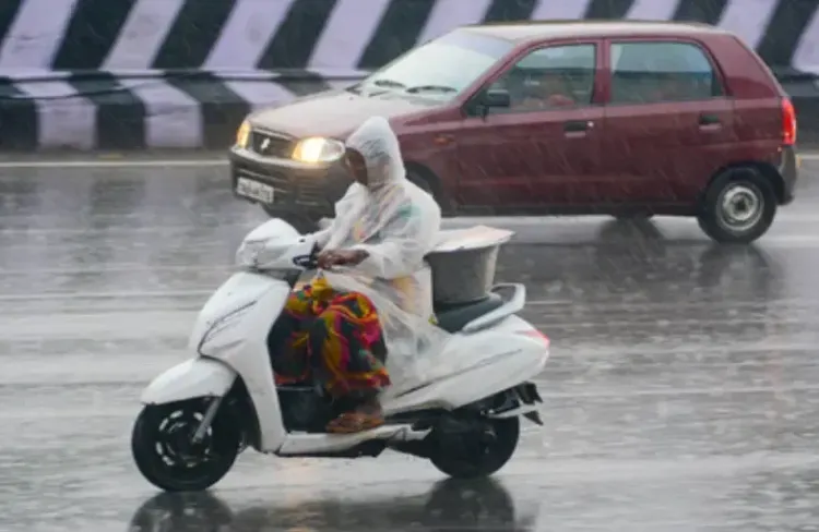
Rainfall was observed in isolated areas of Sagar division, several locations in Bhopal, Indore, Ujjain, and Chambal, while much of the state remained dry.
Maximum temperatures dropped significantly, ranging from 6.2°C to 11.4°C in Gwalior and Chambal districts, marking them as appreciably to markedly below normal, with decreases of 3.1°C in Gwalior and 7.3°C in Chambal.
Conversely, the divisions of Indore and Narmadapuram recorded temperatures 2.5-2.6°C above normal, while other areas maintained average conditions. Minimum temperatures fell by 2.5-2.8°C in Ujjain and Chambal, yet remained above normal by 1.9-3.0°C in Indore, Narmadapuram, Ujjain, Gwalior, and Chambal.
Across the state, the highest maximum temperature was 34.1°C in Khandwa, while the lowest minimum recorded was 9.2°C in Khajuraho. The most substantial rainfall was 26.2 mm in Nalcha, 11.0 mm in Karhal, and 10.0 mm in Kolaras, with lighter showers reported in Indore (7.3 mm) and Bhopal (1.3 mm).
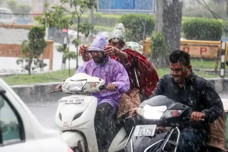
Wind gusts reached 63 km/h in Sheopur Kalan, accompanied by thunderstorms, lightning, and rain in districts such as Morena, Bhind, Gwalior, and Indore.
Hailstorms impacted Neemuch, Mandsaur, Sheopur Kalan, and Rajgarh. IMD visual analysis indicates significant regional temperature disparities. Maximum temperature anomaly maps depict northern MP in cooler tones (below normal by up to 7°C), transitioning to warmer shades in the south (above normal).
Minimum temperature maps highlight isolated areas of above-normal temperatures centrally. Forecast rainfall distribution maps for February 19-20 suggest isolated rain in northern and central districts, including Rewa, Sagar, and Gwalior, diminishing southward by February 21-23.
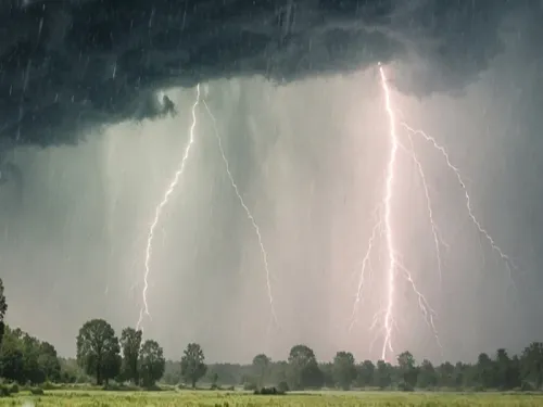
Warnings indicate yellow zones for thunderstorms in isolated northern regions, correlating with synoptic systems such as a trough extending from Gujarat to Haryana and a subtropical jet stream over northeast India.
Looking forward, isolated rainfall or drizzle with thunderstorms/lightning is anticipated in Vidisha, Raisen, Ashoknagar, Shivpuri, Gwalior, Datia, Bhind, Rewa, Mauganj, Satna, Panna, Damoh, Sagar, Chhatarpur, Tikamgarh, Niwari, and Maihar until the morning of February 20, while dry conditions will prevail elsewhere.
Warnings include gusty winds (30-40 km/h) with thunderstorms in Vidisha, Rewa, and Sagar clusters, and lightning in Gwalior and Chhatarpur. The IMD recommends staying indoors during storms, avoiding trees and water bodies, unplugging electronics, and securing livestock.
Farmers should safeguard their crops, pause fieldwork, irrigate as necessary, and prepare for summer sowing of sugarcane, groundnut, soybean, and maize. Expected gradual increases of 2-4°C in maximum temperatures in the north over the next 48 hours, with minimum temperatures remaining stable for five days.
In Bhopal, anticipate partly cloudy skies with haze, winds of 20-22 km/h, and temperatures around 26°C/14°C. This change in weather, driven by a weak disturbance approaching the Himalayas from February 22, encourages residents, particularly in Indore where light rain occurred, to stay vigilant for alerts regarding safety.
Point of View
It's crucial to highlight how **Madhya Pradesh's** weather fluctuations are influenced by larger climatic patterns. Understanding these changes helps us prepare and respond effectively. Our focus remains on providing accurate information and supporting our communities during these unpredictable weather events.
NationPress
6 Jul 2026
Frequently Asked Questions
What is a Western Disturbance?
A Western Disturbance is a weather phenomenon associated with moisture-laden winds from the Mediterranean region that impacts weather patterns in India, particularly during winter and spring.
How does unseasonal rain affect farmers?
Unseasonal rain can disrupt farming activities, damage crops, and delay fieldwork, impacting the livelihoods of farmers and agricultural output.
What precautions should be taken during thunderstorms?
During thunderstorms, it's advisable to stay indoors, avoid tall trees and water bodies, unplug electrical devices, and secure livestock.
What areas are expected to receive rain?
Isolated rainfall is expected in northern and central districts such as Rewa, Sagar, and Gwalior until February 20.
Are there any alerts issued for this weather?
Yes, the IMD has issued warnings for thunderstorms and strong winds in several districts, urging residents to remain cautious.