CM Office Uttarakhand Approves GIS Drainage Plan for Gopeshwar
Synopsis
The Chief Minister's Office of Uttarakhand has approved a GIS-based drainage scheme for Gopeshwar in Chamoli district, aiming to fix chronic monsoon waterlogging in the Himalayan hill town through data-driven stormwater planning.
Key Takeaways
The Chief Minister's Office of Uttarakhand approved a GIS-based drainage plan for Gopeshwar, Chamoli district on November 1, 2026 .
Gopeshwar is the administrative headquarters of Chamoli district in the Garhwal Himalayas and faces recurring monsoon waterlogging.
GIS technology maps terrain and drainage networks digitally, enabling precision planning suited to steep Himalayan topography.
The approval aligns with Uttarakhand's existing urban infrastructure work under the AMRUT framework, which includes stormwater drainage components.
Specific project cost and implementation timeline have not been disclosed; tendering and budget release are the next critical milestones.
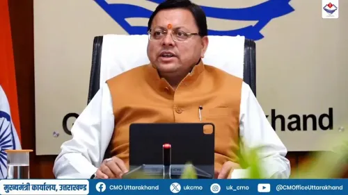
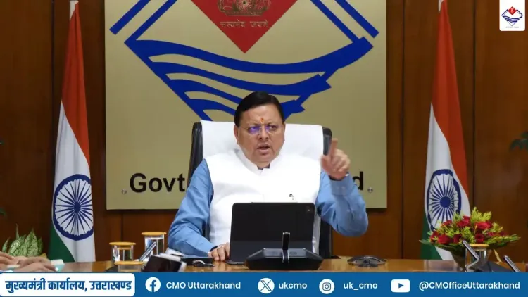
Every monsoon, the mountain town of Gopeshwar drowns a little — streets flood, drains overflow, and residents of Chamoli district brace for weeks of waterlogging. On Sunday, November 1, 2026, the Chief Minister's Office of Uttarakhand announced a concrete step to end that cycle, approving a GIS-based drainage plan aimed at overhauling stormwater management in the hill town.
The official post reads: 'जनपद चमोली के गोपेश्वर में जल निकासी व्यवस्था को बेहतर बनाने और बरसात के दौरान जलभराव की समस्या से राहत दिलाने के लिए जीआईएस आधारित ड्रेनेज योजना को मंजूरी।' — 'Approval granted for a GIS-based drainage scheme to improve the water drainage system in Gopeshwar, Chamoli district, and to provide relief from waterlogging during the rainy season.'
What a GIS-based drainage plan actually means for Gopeshwar
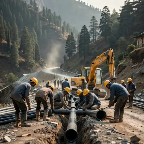
Geographic Information Systems, or GIS, allow planners to create precise digital maps of terrain, elevation gradients, and existing drainage networks before a single pipe is laid. For a hill town like Gopeshwar — perched in the upper Himalayas, where topography changes sharply and monsoon runoff surges fast — that kind of data-driven design is the difference between a drain that works and one that backs up at the first heavy shower. The approval signals that the state intends to move beyond ad hoc fixes toward a mapped, engineered solution.Chamoli's monsoon vulnerability and the AMRUT link
Chamoli district, situated in Uttarakhand's Garhwal region, sits at the intersection of seismic risk and extreme precipitation. Its headquarters, Gopeshwar, has long struggled with seasonal flooding that damages property, disrupts commerce, and strains the district administration. Uttarakhand has previously channelled urban infrastructure investment through the Atal Mission for Rejuvenation and Urban Transformation (AMRUT), launched in 2015, which carries an explicit stormwater drainage component — making this approval consistent with that broader state-level framework. Across Himalayan states, GIS-enabled drainage planning has emerged as a preferred approach precisely because ecologically sensitive terrain demands precision that conventional surveys cannot provide. Gopeshwar's approval fits squarely into that regional pattern.From approval to outcome: what comes next
An approval is a starting gun, not a finish line. The real test lies in the tendering process, the pace of budget release, and whether physical works can be completed before the next monsoon season arrives. Chamoli district administration and Gopeshwar's civic body will be the key executing agencies to watch. Residents who have endured flooded lanes year after year will be watching the calendar just as closely.Point of View
Digitally-mapped infrastructure planning. It signals that Uttarakhand is applying urban-technology tools to small district headquarters that have historically received less sophisticated planning attention. The move dovetails with the AMRUT framework's emphasis on data-driven civic infrastructure, lending it policy continuity beyond a single announcement. Whether the scheme translates into on-ground relief before the 2027 monsoon will be the real measure of institutional follow-through.
NationPress
1 Nov 2026
Frequently Asked Questions
What is the GIS-based drainage plan approved for Gopeshwar?
It is a stormwater drainage scheme that uses Geographic Information Systems to digitally map Gopeshwar's terrain and existing drainage network, enabling precision-designed drains to reduce monsoon waterlogging in the Chamoli district headquarters.
Why does Gopeshwar face waterlogging during the monsoon?
Gopeshwar sits in the upper Himalayas in Chamoli district, where steep terrain causes rapid monsoon runoff. Inadequate drainage infrastructure means water backs up in streets and low-lying areas each rainy season.
What is AMRUT and is it connected to this project?
AMRUT — the Atal Mission for Rejuvenation and Urban Transformation — is a central government urban infrastructure programme launched in 2015 that includes stormwater drainage as a key component. Uttarakhand has previously used AMRUT funding for similar hill-town upgrades.
When will the Gopeshwar drainage work actually begin?
The Chief Minister's Office has announced the approval, but specific timelines for tendering, budget release, and construction have not yet been disclosed publicly.
Which government body will implement the drainage scheme in Gopeshwar?
Implementation is expected to involve the Chamoli district administration and Gopeshwar's civic body, with the state government overseeing the project under the broader urban infrastructure mandate.