Concerns Rise Over Proposed Highway Tunnel Through TN's Western Ghats
Synopsis
The planned highway corridor through the ecologically sensitive Sengottai Gap brings significant environmental worries. Conservationists fear potential disruption to a crucial wildlife corridor and increased landslide hazards in the region. A thorough ecological assessment is urged to prevent irreversible damage.
Key Takeaways
The highway corridor threatens the ecological balance of the Sengottai Gap.
Conservationists urge for a thorough environmental assessment.
The project may further fragment existing wildlife habitats.
It aims to enhance freight connectivity between Tamil Nadu and Kerala.
Critical wildlife corridors are at risk, particularly for tiger movement.
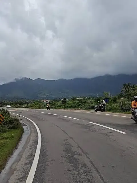
Chennai, March 18 (NationPress) A proposed highway corridor through the ecologically sensitive Sengottai (Aryankavu) Gap in the southern Western Ghats has raised alarms among conservationists. They caution that this project may threaten a crucial wildlife passage and increase the risk of landslides in the area.
The National Highways Authority of India (NHAI) is currently seeking wildlife clearance from the National Board for Wildlife for this initiative, which is part of the Puliyarai-Aryankavu-Kadampattukonam economic corridor under the Bharatmala programme.
This corridor aims to enhance freight connectivity between Tamil Nadu and the Kerala coast, linking NH-744 (Kollam-Madurai) with NH-66 (Mumbai-Kanniyakumari) to establish a vital east-west transport route.
The entire project length is 61.7 km, with the most ecologically sensitive segment identified as Package-1—a 23-km stretch between Puliyarai in the Tenkasi district and Edamon in Kerala’s Kollam district. Approximately 19 km of this stretch is located in Kerala, while around 4 km is in Tamil Nadu.
At the heart of the issue is the Sengottai (Aryankavu) Gap, a unique natural break in the Western Ghats that serves as an essential ecological corridor linking forest habitats across state lines.
This region is part of the Agasthyamalai landscape, connecting major protected areas, including the Kalakad-Mundanthurai Tiger Reserve, Shendurney Wildlife Sanctuary, Periyar Tiger Reserve, and the Peppara and Neyyar sanctuaries.
Wildlife specialists assert that the corridor between Periyar and Shendurney is vital for the movement of tigers and other wildlife, with the broader landscape estimated to support 36 to 40 tigers across more than 2,100 sq km.
They warn that the introduction of new infrastructure could further fragment habitats already compromised by existing roads and railways.
Project documentation reveals that the route will traverse Puliyarai Reserved Forest in Tamil Nadu and Ariankavu and Yerur Reserved Forests in Kerala, in proximity to eco-sensitive regions.
To navigate the challenging terrain, the plan includes four tunnel sections for a four-lane highway, with lengths varying from 420 meters to over 3.7 km. Environmental advocates have called for a thorough ecological assessment before granting any approvals, cautioning that without stringent safeguards, irreversible harm could ensue.
Point of View
It is essential to highlight the balance between infrastructure development and environmental preservation. The proposed highway corridor poses significant risks to wildlife and ecological integrity in the Western Ghats, necessitating a careful examination of potential consequences before proceeding.
NationPress
23 Jun 2026
Frequently Asked Questions
What is the Sengottai Gap?
The Sengottai Gap is a natural break in the Western Ghats that serves as an important ecological corridor linking forest habitats across state boundaries.
What are the environmental concerns related to the highway corridor?
Environmentalists warn that the highway could disrupt a vital wildlife corridor and increase landslide risks in the region.
How long is the proposed highway project?
The overall project spans 61.7 km, with the most sensitive portion being a 23-km stretch between Puliyarai and Edamon.
What is the significance of the Agasthyamalai landscape?
The Agasthyamalai landscape connects several major protected areas, which are crucial for biodiversity and wildlife movement.
What measures are being called for regarding the project?
Environmentalists are advocating for a comprehensive ecological assessment before any project approvals to prevent irreversible damage.