Jaipur Range Police maps 101 accident black spots on Google Maps via Operation Safer Road
Synopsis
Jaipur Range Police has embedded 101 scientifically identified accident black spots directly into Google Maps, triggering live alerts for drivers on Rajasthan highways. With a QR-based information portal and a formal NHAI proposal for statewide expansion, Operation Safer Road is arguably the most tech-integrated road-safety initiative launched by any Indian state police range in recent memory.
Key Takeaways
Jaipur Range Police launched Operation Safer Road on 26 August , integrating 101 accident black spots with Google Maps .
Google Maps users on Jaipur Range highways will receive automatic road-safety alerts when approaching designated danger zones.
Black spots were identified using three years of accident and fatality data ( 2023–2025 ), prioritised by severity of deaths.
Jaipur Rural (28) and Dausa (24) account for the highest concentration of black spots among the eight districts covered.
A QR code facility allows users to access location, risk category, and coordinates of each black spot via Google Maps.
A proposal has been sent to NHAI to expand the system to all Rajasthan highways and eventually nationally.
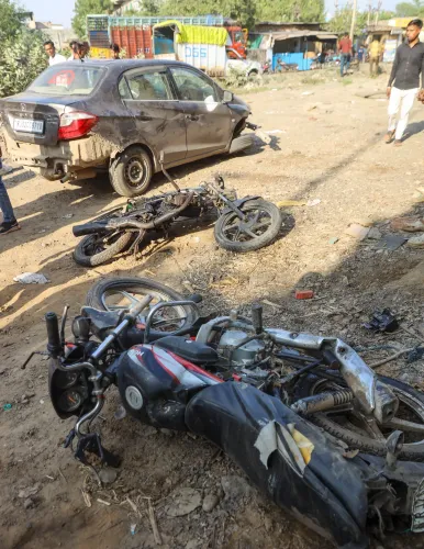
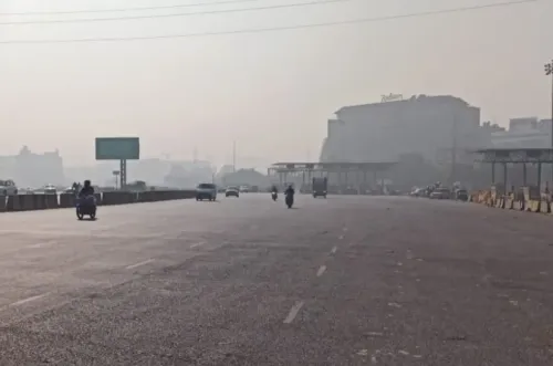
Jaipur Range Police has integrated 101 accident-prone zones across national and state highways into Google Maps under its newly launched 'Operation Safer Road' campaign, enabling real-time digital alerts for motorists approaching high-risk stretches. The initiative, announced on 26 August, marks one of the most technology-forward road-safety drives by a state police unit in Rajasthan.
How the System Works
Motorists navigating highways within the Jaipur Range using Google Maps will receive an automatic road-safety alert as they approach any of the 101 designated black spots. The advance warning is designed to prompt drivers to reduce speed, stay alert, and adapt to prevailing road conditions before reaching potentially dangerous stretches.
Additionally, the Jaipur Range Police has introduced a QR code-based digital facility. Scanning the code gives users access to each black spot's location, risk category, geographical coordinates, and other relevant safety details — all mapped directly within Google Maps.
How the Black Spots Were Identified
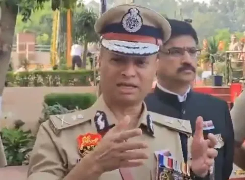
According to Jaipur Range Inspector General Rahul Prakash, the black spots were pinpointed through a scientific analysis of road accident and fatality data spanning 2023 to 2025. Crucially, classification was based primarily on the severity of fatalities recorded at each site over the three-year period — not merely the volume of accidents.
Police officials first audited police records, traffic data, and highway accident reports. Each location was then geographically verified and digitally mapped before technical data was prepared for Google Maps integration.
District-Wise Breakdown of Black Spots
The 101 black spots are distributed across districts in the Jaipur Range as follows: Jaipur Rural: 28, Dausa: 24, Kotputli-Behror: 19, Alwar: 11, Sikar: 10, Bhiwadi: 5, Khairthal-Tijara, and Jhunjhunu: 1. The concentration in Jaipur Rural and Dausa reflects the high traffic density on key arterial routes passing through these districts.
Proposal to Expand Statewide and Beyond
Following the pilot rollout in the Jaipur Range, police have submitted a formal proposal to the National Highways Authority of India (NHAI) seeking expansion of the system to highways across Rajasthan and, eventually, other parts of the country. IG Rahul Prakash described the initiative as 'an important step towards using technology to reduce road fatalities.'
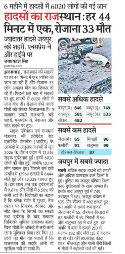
This comes amid persistent concerns over highway safety in Rajasthan, which consistently ranks among states with high road accident fatality rates. If scaled nationally, the Google Maps integration model could serve as a replicable blueprint for other police ranges.
Point of View
Rather than relying on signage that goes unnoticed. The real test, however, is maintenance: black spots shift as roads are upgraded or traffic patterns change, and a stale dataset could breed false confidence. The proposal to NHAI for national expansion is ambitious, but the absence of a stated data-refresh protocol is a gap worth watching. If Rajasthan can demonstrate a live, periodically audited system, it sets a standard other states should be pressed to match.
NationPress
10 Oct 2026
Frequently Asked Questions
What is Operation Safer Road launched by Jaipur Range Police?
Operation Safer Road is a technology-driven road-safety initiative by Jaipur Range Police that integrates 101 accident-prone zones on Rajasthan highways with Google Maps, sending real-time alerts to motorists as they approach high-risk locations. It was launched on 26 August and also includes a QR code portal with detailed black spot information.
How were the 101 accident black spots identified?
The black spots were identified through a scientific analysis of road accident and fatality data collected between 2023 and 2025, with classification based primarily on the severity of deaths at each site rather than the raw number of accidents. Each location was geographically verified and digitally mapped before integration.
How will Google Maps alert drivers about accident-prone zones?
Motorists using Google Maps for navigation on highways within the Jaipur Range will receive an automatic road-safety alert when approaching a designated black spot. The warning is intended to prompt drivers to slow down and exercise greater caution.
Which districts have the most accident black spots in the Jaipur Range?
Jaipur Rural leads with 28 black spots, followed by Dausa with 24 and Kotputli-Behror with 19. Alwar has 11, Sikar 10, Bhiwadi 5, with Khairthal-Tijara and Jhunjhunu accounting for the remainder of the 101 total.
Will Operation Safer Road be expanded beyond the Jaipur Range?
Yes, the Jaipur Range Police has sent a formal proposal to the National Highways Authority of India (NHAI) seeking expansion of the system to highways across Rajasthan and eventually to other parts of the country.