South Korea to shrink inter-Korean border buffer zone for civilian access
Synopsis
South Korea is redrawing one of Asia's most fortified borders — not for security reasons, but for land development. The Lee Jae Myung government's plan to shrink the Civilian Control Line from up to 10 km to an average of 6 km unlocks 270 sq km for civilian use, dismantles anti-tank walls at 23 sites, and signals a quiet but significant shift in how Seoul balances military posture with economic pragmatism.
Key Takeaways
South Korea's defence ministry on 17 June announced a plan to reduce the Civilian Control Line (CCL) to an average depth of 6 km from the current up to 10 km .
The CCL will be redesignated from a Controlled Protection Zone to a Restricted Protection Zone , enabling land development with approval.
The change affects roughly 270 sq km — equivalent to 90 times the size of Yeouido — plus an additional 450 sq km in the existing Restricted Protection Zone.
Anti-tank walls and other legacy military structures will be removed from 23 border locations , including Paju and Yanggu .
A mobile app-based civilian access system is planned for rollout by 2027 .
Measures will be finalised in phases after reviews by the defence ministry, Joint Chiefs of Staff , and local governments.
South Korea's defence ministry on Wednesday, 17 June announced a phased plan to redraw the Civilian Control Line (CCL) along the inter-Korean border, reducing its average depth from the current range of up to 10 km to approximately 6 km south of the Military Demarcation Line (MDL). The move is aimed at unlocking wider civilian access and spurring economic development in border regions that have long been constrained by military restrictions.
What the Civilian Control Line Is
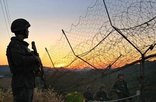
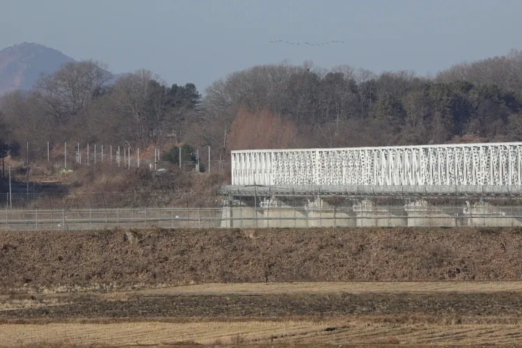
The CCL was established following the 1950–53 Korean War as a buffer zone running within 10 kilometres south of the MDL — the line that bisects the Demilitarised Zone separating the two Koreas. It currently extends up to 7 km south of the MDL along the western front and up to 10 km south along the eastern front. While it has served to protect military installations and restrict public movement, it has simultaneously acted as a barrier to land development and disrupted the daily lives of local residents for decades.
Key Developments in the New Plan
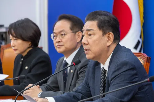
Defence Minister Ahn Gyu-back, announcing the plan at a briefing, said the adjustment was necessary to adapt to shifting security conditions, including shrinking military manpower. 'The CCL was established to restrict civilian access and guarantee military operations, but there have been growing calls for a need to complement its actual control measures,' Ahn said. 'We have come up with an adjustment plan for the CCL to adapt to future security environments amid shrinking military manpower, while ensuring operational conditions,' he added.
Under the revised framework, the CCL's current designation as a Controlled Protection Zone will be changed to a Restricted Protection Zone — a reclassification that permits land development and construction subject to approval by relevant authorities. The measure will apply to roughly 270 square km, equivalent to 90 times the size of Yeouido in western Seoul. Separately, restrictions on approximately 450 square km of the existing Restricted Protection Zone will also be lifted to allow private property development.
Military Structures to Be Removed
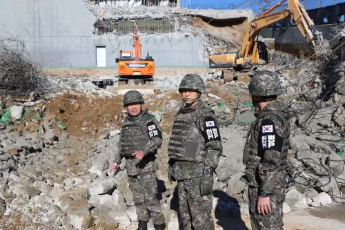
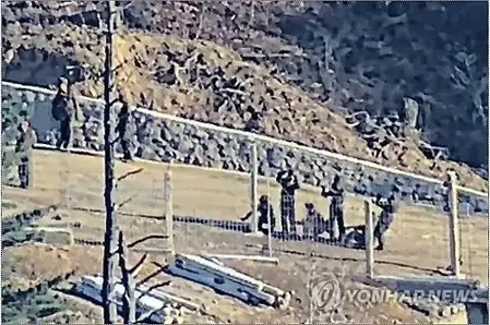
As part of the broader reform, the ministry plans to dismantle military structures deemed to have lost tactical utility — including anti-tank walls — at 23 locations in border regions. These include Paju, north of Seoul, and Yanggu in Gangwon Province. The removal signals a recalibration of how the South Korean military views the operational value of legacy Cold War-era fortifications.
Simplified Access and What Comes Next
To streamline civilian entry into the CCL, the government plans to introduce mobile applications and digital authentication by 2027. The approval process for agricultural drones operating at farms in the border regions will also be eased. The measures are to be finalised and rolled out in phases following reviews by the defence ministry, the Joint Chiefs of Staff, and local governments. This comes amid the Lee Jae Myung government's broader push to readjust CCL boundaries northward, easing property restrictions and improving living conditions for residents who have long borne the burden of the border's security perimeter.
Point of View
But it is also a tacit admission that South Korea's border security architecture — built for a mid-20th century threat environment — is overextended relative to its current military capacity. Shrinking military manpower is cited openly by Defence Minister Ahn, which raises a question mainstream coverage is glossing over: is this a strategic recalibration or a resource-driven retreat? The redesignation of 270 sq km from controlled to restricted also has real-estate and political economy implications that go well beyond farmer inconvenience. With Pyongyang's posture unchanged, the timing and framing of this announcement will be scrutinised closely by Seoul's security establishment and its allies alike.
NationPress
19 Sept 2026
Frequently Asked Questions
What is the Civilian Control Line (CCL) in South Korea?
The Civilian Control Line is a military-controlled buffer zone running within 10 kilometres south of the Military Demarcation Line that divides North and South Korea. Established after the 1950–53 Korean War, it restricts civilian movement and land use to protect military installations along the heavily fortified inter-Korean border.
What changes is South Korea making to the CCL?
The defence ministry plans to reduce the CCL's average depth from up to 10 km to approximately 6 km south of the MDL. The zone will be redesignated from a Controlled Protection Zone to a Restricted Protection Zone, allowing land development and construction with approval from relevant authorities.
How much land will be opened up under the new plan?
Roughly 270 square km — equivalent to 90 times the size of Yeouido in western Seoul — will come under the revised CCL framework. An additional 450 square km of the existing Restricted Protection Zone will also be freed up for private property development.
Why is South Korea making these changes now?
Defence Minister Ahn Gyu-back cited growing calls to ease civilian restrictions and the need to adapt to future security environments, including shrinking military manpower. The Lee Jae Myung government has also been pushing to ease property development restrictions and improve living conditions for border-area residents.
When will the new civilian access system be introduced?
The government plans to introduce mobile applications and digital authentication for civilian access to the CCL by 2027. The broader measures will be rolled out in phases following reviews by the defence ministry, the Joint Chiefs of Staff, and local governments.