Bhopal Development Plan 2047 draft released; public feedback invited
Synopsis
Madhya Pradesh has unveiled the Bhopal Development Plan 2047 — a 1,016-sq-km master plan targeting 45 lakh residents, a 51-km AI and logistics growth corridor, and a near-doubling of the city's green cover from 16% to 27%. Citizens have been invited to submit feedback before the plan is finalised.
Key Takeaways
The Bhopal Development Plan 2047 draft was published on 26 September 2026 ; public objections and suggestions are now invited.
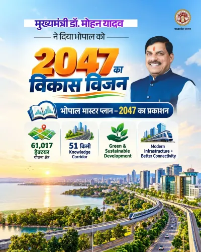
The plan covers 1,016.90 sq km , 254 villages , and is designed for a population of 45 lakh .
A 51-km growth corridor covering 3,000 hectares will link EKAI City, the airport, logistics zones, and residential areas.
Green cover is proposed to rise from 16% (Master Plan 2005) to approximately 27% , with special protection for Bhojtal and tiger reserve areas.
A Digital Twin City system will enable real-time monitoring of construction and traffic to tackle illegal development.
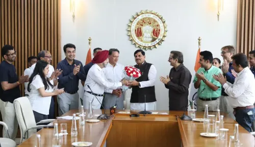
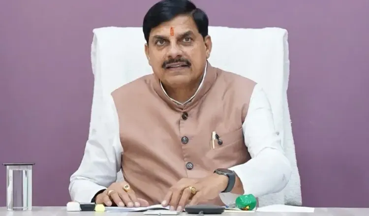
Chief Minister Mohan Yadav urged citizens to engage with the draft, noting compensation for landowners and additional development rights for builders.
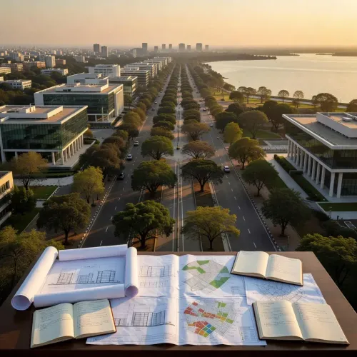
The Madhya Pradesh government has published the draft of the Bhopal Development Plan 2047 on 26 September 2026, inviting citizens to submit claims, objections, and suggestions on the master plan. The document lays out a sweeping urban vision for Bhopal, prioritising environmental conservation, employment generation, traffic management, and improved civic amenities over the next two decades.
Scale and Scope of the Plan
The plan covers an investment area of 1,016.90 square kilometres, encompassing 254 villages, and is designed to accommodate an estimated population of approximately 45 lakh. The proposed developable area is 61,017.02 hectares. It rests on four foundational pillars: conservation of the natural environment, modern and citizen-friendly development, promoting necessary urban change, and increasing employment and economic activity.
Growth Corridor and EKAI City
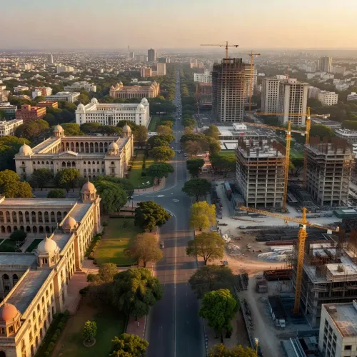
Around 3,000 hectares of land has been earmarked for a dedicated growth corridor. A 51-kilometre-long corridor will connect suburbs including the proposed EKAI (Education, Knowledge and Artificial Intelligence) City, the airport, a proposed CMU, logistics zones, and wholesale trade areas. The corridor is designed to host hotels, health services, IT and AI data centres, logistics hubs, hypermarkets, malls, multiplexes, corporate offices, education institutions, and housing — with mixed-use and high-density development at its core. An EKAI City is specifically planned in the Bhaunri area to concentrate education and AI-related institutions.
Green Cover, Environment and Heritage
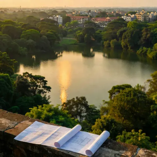
In the earlier Bhopal Master Plan 2005, green area stood at roughly 16 per cent. The new plan proposes raising this to approximately 27 per cent. Open area at the colony level is proposed to increase from 10 per cent to 12 per cent. Special emphasis has been placed on preserving Bhojtal and its catchment area, hills, forests, ponds, reservoirs, and tiger reserve zones. A golf course has been suggested for the redevelopment of Bhanpur Khanti.
Transport, Parking and Smart Infrastructure
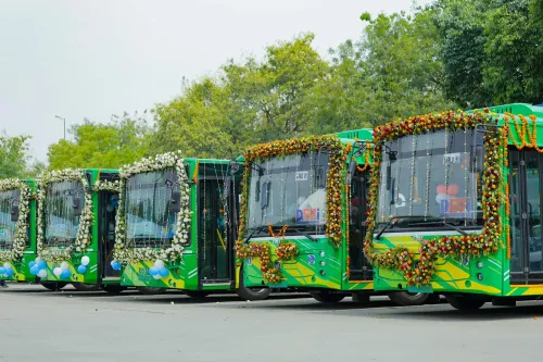
A Bus Rapid Transit System (BRTS) corridor is planned for public transport, with provision for future conversion to a Mass Rapid Transit System (MRTS). The corridor will also extend connectivity to Vidisha, Raisen, Narmadapuram, and Indore. Mixed land use has been proposed, permitting commercial activity alongside residential use depending on road width, along with greater relaxation of Floor Area Ratio (FAR) and building height norms on wider roads. Multilevel and mechanised parking — including under community open areas, rail overbridges, and flyovers — will be promoted, with joint use of land for basement parking allowed.
A Digital Twin City system is proposed for real-time monitoring of development and construction activities to curb illegal construction and manage traffic. Security provisions include networking private CCTV cameras at public places, transparent boundary walls for public buildings, and safer traffic arrangements. Charitable activities such as orphanages, special schools, nursing homes, and night shelters will be permitted across various land-use zones.
Government's Position and Next Steps
Chief Minister Mohan Yadav said in a post on X that landowners will receive compensation while developers will have access to additional development facilities — framing the plan as an initiative toward building a prosperous, accessible, and developed Bhopal. He urged citizens to review the draft and submit their objections and suggestions. After the public feedback window closes, the plan's finalisation process will proceed based on the responses received.
Point of View
But its credibility will ultimately rest on two things it has not yet demonstrated: a binding implementation timeline and a mechanism to hold planners accountable for the green-cover and employment targets. Raising green cover from 16% to 27% is a laudable goal, yet previous master plans have seen encroachment erode such commitments over time. The EKAI City and Digital Twin proposals signal a tech-forward vision, but similar smart-city initiatives across India have repeatedly stalled at the execution stage. Inviting public feedback is procedurally sound — what matters next is whether the objections received will substantively reshape the final plan or serve as a compliance formality.
NationPress
26 Sept 2026
Frequently Asked Questions
What is the Bhopal Development Plan 2047?
The Bhopal Development Plan 2047 is a master plan published by the Madhya Pradesh government on 26 September 2026, covering 1,016.90 square kilometres and designed for a projected population of 45 lakh. It outlines land use, infrastructure, environment, and economic activity guidelines for the city through 2047.
How can citizens submit feedback on the Bhopal Master Plan 2047?
The Madhya Pradesh administration has opened a window for public claims, objections, and suggestions on the published draft. Citizens are encouraged to submit their responses; the finalisation process will proceed based on the feedback received.
What is EKAI City proposed in the Bhopal Development Plan?
EKAI stands for Education, Knowledge and Artificial Intelligence. It is a proposed hub in the Bhaunri area of Bhopal, designed to concentrate education institutions and AI-related businesses. It forms part of the 51-km growth corridor that will also connect the airport, logistics zones, and other suburban areas.
How does the new plan change Bhopal's green cover target?
The Bhopal Master Plan 2005 set green area at roughly 16 per cent of the city. The new 2047 plan proposes raising this to approximately 27 per cent, with special protections for Bhojtal, forests, ponds, and tiger reserve areas.
What transport improvements are proposed in the Bhopal Development Plan 2047?
The plan proposes a Bus Rapid Transit System (BRTS) corridor that can later be upgraded to a Mass Rapid Transit System (MRTS). The corridor will connect Bhopal to Vidisha, Raisen, Narmadapuram, and Indore, alongside multilevel and mechanised parking facilities across the city.