CM Majhi Conducts Aerial Survey of Cyclone-Hit Gajapati, Ganjam
Synopsis
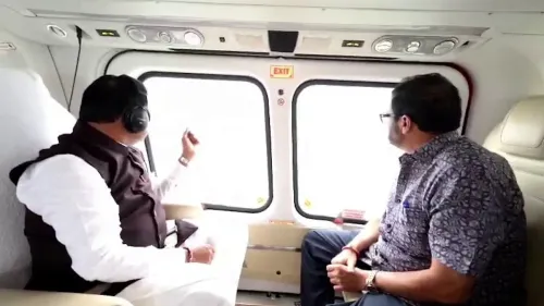
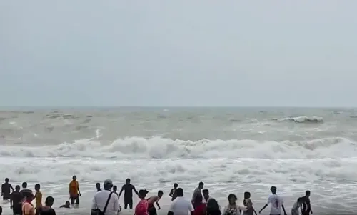
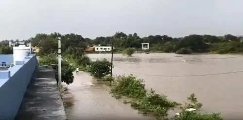
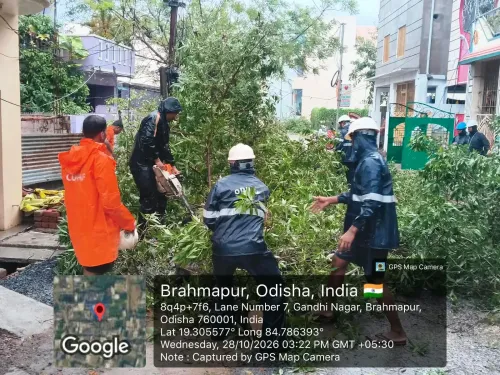
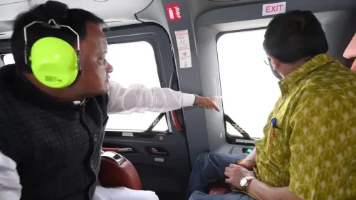
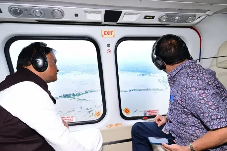
Odisha Chief Minister Mohan Charan Majhi conducted an aerial survey of cyclone and flood-affected areas in Gajapati and Ganjam districts on October 30, 2026, reviewing damage and directing officials to accelerate rescue and relief operations across both southern coastal districts.
Key Takeaways
CM Mohan Charan Majhi conducted an aerial survey of cyclone and flood-hit areas on October 30, 2026 .
The survey covered Gajapati and Ganjam — two southern Odisha districts particularly vulnerable to Bay of Bengal cyclones.
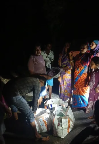
After reviewing damage, Majhi directed officials to expedite rescue and relief operations in affected zones.
Odisha institutionalised top-level disaster reviews after the 1999 super cyclone , which killed over 10,000 people .
Official damage assessments and state-central relief packages for affected residents are the immediate next steps to watch.
With two coastal districts of southern Odisha reeling from cyclone damage and subsequent flooding, Chief Minister Mohan Charan Majhi took to the skies on Friday, October 30, 2026, conducting an aerial survey of the worst-hit areas in Gajapati and Ganjam districts — and then ordered officials to move faster on rescue and relief.
What the CM Saw From the Air Over Gajapati and Ganjam
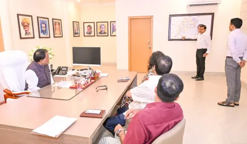
The Chief Minister's Office confirmed that Majhi surveyed cyclone and flood-affected zones from the air, getting a firsthand read of the scale of destruction across both districts. After reviewing the extent of damage, he issued direct instructions to district officials to expedite rescue and relief operations without delay.
Ganjam, Odisha's most populous coastal district, sits squarely in the path of Bay of Bengal cyclonic systems and has a long, painful history with storm surges and inundation. Gajapati, which borders Andhra Pradesh to the south, is equally vulnerable — its hilly terrain can amplify flash flooding when cyclonic rainfall intensifies over the Eastern Ghats.
Odisha's Disaster Playbook — and Why Aerial Surveys Matter
The aerial survey is not a symbolic gesture. Since the catastrophic 1999 super cyclone that killed over 10,000 people in Odisha, successive state governments have institutionalised rapid top-level assessments as a core part of the disaster management playbook. The founding of the Odisha State Disaster Management Authority (OSDMA) and the state's investment in early-warning systems grew directly from that trauma.
A Chief Minister's aerial review serves a specific operational purpose: it forces a consolidated picture of damage across multiple blocks simultaneously, allows the CM to prioritise resource deployment on the spot, and signals to district administrations that the state's highest office is watching response timelines closely. In a state where flood seasons routinely test administrative bandwidth, that signal matters.
Majhi, who became Odisha's first BJP Chief Minister in June 2024, has now confronted the state's perennial cyclone exposure within his first term. The formal damage assessment and the rollout of state and central relief packages for affected families in both districts will be the next critical test of the response machinery he has now personally reviewed.
Point of View
But which also carries real operational weight by forcing consolidated damage pictures and accelerating official response timelines. For a first-term BJP chief minister in a state where the previous government built a global reputation on disaster management, every cyclone response is also a governance credibility test. The speed and scale of relief disbursement in Gajapati and Ganjam will reveal how robustly Majhi has inherited and built upon Odisha's institutional disaster machinery.
NationPress
30 Oct 2026
Frequently Asked Questions
Which districts did Odisha CM Mohan Majhi survey after the cyclone?
CM Mohan Charan Majhi conducted an aerial survey of Gajapati and Ganjam districts, both in southern Odisha, which were affected by the cyclone and subsequent flooding.
What did CM Majhi direct officials to do after the aerial survey?
After reviewing the extent of damage, CM Majhi directed district officials to expedite rescue and relief operations in the cyclone and flood-affected areas.
Why are Gajapati and Ganjam particularly vulnerable to cyclones?
Ganjam is a densely populated coastal district directly exposed to Bay of Bengal cyclonic systems, while Gajapati borders Andhra Pradesh and has hilly terrain that can amplify flash flooding from cyclonic rainfall.
Who is Mohan Charan Majhi and when did he become Odisha CM?
Mohan Charan Majhi became Odisha's Chief Minister in June 2024 , and is the state's first Chief Minister from the Bharatiya Janata Party (BJP).
How does Odisha manage cyclone disasters?
Odisha built a robust disaster management framework — including the Odisha State Disaster Management Authority (OSDMA) and early-warning systems — following the devastating 1999 super cyclone . Aerial surveys by the Chief Minister after major weather events are now standard operating procedure.