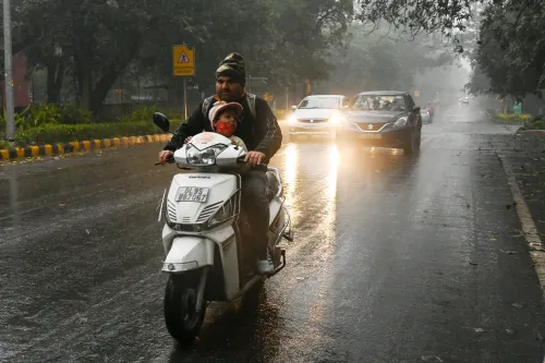


Western disturbance hits north India; Delhi AQI at alarming 463
Synopsis
Delhi's air turned toxic — AQI at 463 — just as a fresh western disturbance stirs over northern India. With no rain expected on the plains until 8 November, the pollution siege looks set to continue. Meanwhile, Cyclone Murasu has weakened after hitting Andhra Pradesh, but southern India stays wet through the week.
Key Takeaways
A fresh western disturbance is active over northern India, per the IMD , but significant rainfall on the plains is not expected until after 8 November .
Delhi recorded a severe AQI of 463 ; Noida hit 456 and Greater Noida reported 426 .
Hilly regions — Jammu and Kashmir , Ladakh , Uttarakhand , Himachal Pradesh — may see scattered light rain and snowfall from the disturbance.
Cyclone Murasu has weakened after crossing the Andhra Pradesh coast; rain activity in Tamil Nadu , Karnataka , and Kerala continues until 8 November .
Delhi temperatures forecast between 27–30°C (max) and 14–18°C (min); intensifying cold and morning fog expected next week.
A fresh western disturbance has become active over northern India, the India Meteorological Department (IMD) has said, potentially altering weather patterns across Delhi-NCR, Punjab, Haryana, and Uttar Pradesh in the coming days. The development arrives even as air pollution across the National Capital Region has surged to severe levels, with Delhi recording an Air Quality Index (AQI) of 463 as of 5 November 2026.
Western Disturbance: What to Expect
According to the IMD, the weather system is expected to bring scattered light rainfall and snowfall to the hilly regions of Jammu and Kashmir, Ladakh, Uttarakhand, and Himachal Pradesh. However, its impact on the plains is likely to remain limited — no significant rainfall is anticipated across the northern plains, including Delhi-NCR, until at least 8 November.
Predominantly dry and windy weather is forecast for the region over the coming days. Maximum temperatures in Delhi are likely to range between 27°C and 30°C, with minimum temperatures expected to settle between 14°C and 18°C.
Notably, as temperatures dip further next week, the IMD has warned of intensifying cold conditions and a possible uptick in morning fog — a pattern familiar to residents of the Indo-Gangetic Plain at the onset of winter.
Delhi-NCR Pollution Hits Severe Levels
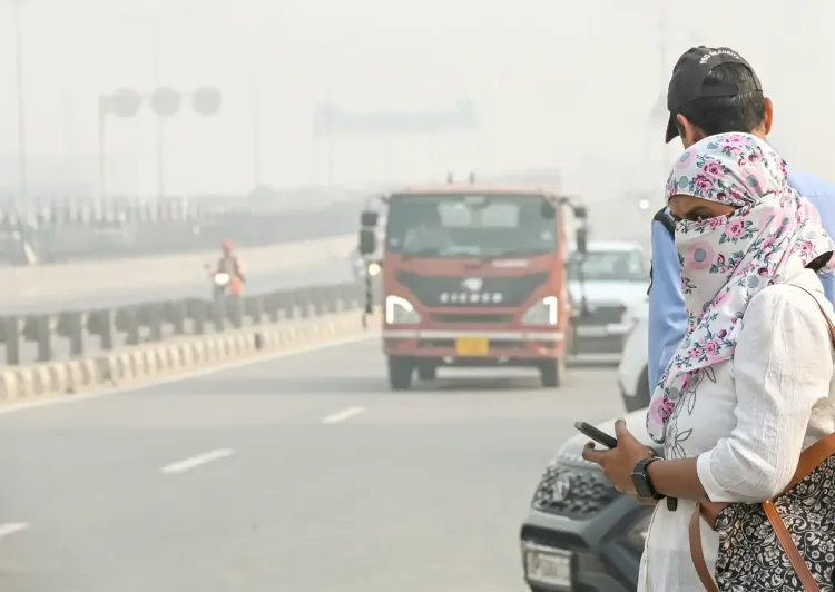
Air quality has deteriorated sharply across the National Capital Region, with multiple cities breaching the 400 AQI threshold — the 'severe' category under India's national air quality standards. Delhi recorded an AQI of 463, Noida registered 456, and Greater Noida reported 426. Gurugram and other major NCR cities have also remained severely polluted, according to available data.
This comes amid seasonal conditions — calm winds, lower temperatures, and crop-residue burning in neighbouring states — that typically trap pollutants close to the surface. The incoming western disturbance, while not forecast to deliver significant rainfall to the plains, may temporarily ease pollution if wind speeds rise.
Cyclone Murasu Weakens After Andhra Landfall
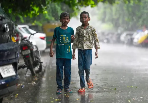
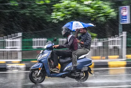
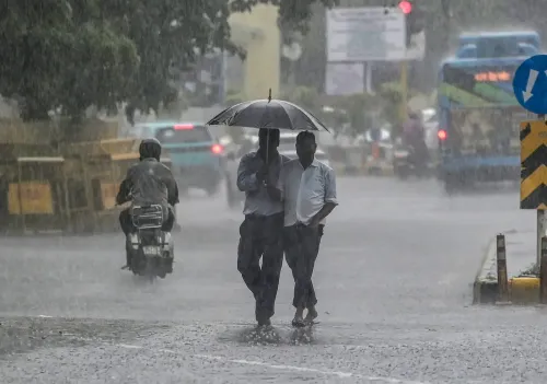
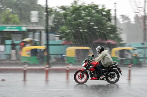
Cyclone Murasu, which originated over the Bay of Bengal, has weakened after crossing the Andhra Pradesh coast. Despite the system's dissipation, rainfall activity is expected to continue over parts of southern India — particularly Tamil Nadu, Karnataka, and Kerala — through 8 November.
A separate cyclonic system over Lakshadweep is also contributing to wet conditions along coastal Karnataka and southern Tamil Nadu. Light to moderate rainfall is forecast across Tamil Nadu, Puducherry, Kerala, Mahe, and Karaikal until 8 November.
North-South Weather Divide
The contrasting weather picture — a dry, polluted north against a rain-soaked south — underscores the dual pressure on India's meteorological systems at this time of year. While southern states are set for continued wet spells driven by both a weakening cyclone and a Lakshadweep system, the northern plains will see little respite from pollution until wind patterns shift or precipitation arrives.
Forecasters will closely watch whether the western disturbance's downstream effects on northern plains accelerate any improvement in Delhi-NCR's air quality before the week is out.
Point of View
Leaving millions in the NCR exposed to 'severe' air for days longer. What is striking is the north-south divergence: while Cyclone Murasu drenches the south, the north bakes in stagnant, polluted air. The annual forecast-and-suffer cycle around Delhi's winter pollution demands more than weather updates — it demands enforceable inter-state action on crop-residue burning and an honest audit of emergency response measures that have so far failed to shift the AQI needle in any lasting way.
NationPress
5 Nov 2026
Frequently Asked Questions
What is the current AQI in Delhi today?
Delhi recorded an AQI of 463 as of 5 November 2026, placing it firmly in the 'severe' category. Noida and Greater Noida also reported severe AQI levels of 456 and 426 respectively, with Gurugram and other NCR cities similarly affected.
Will the western disturbance bring rain to Delhi?
No significant rainfall is expected in Delhi or the northern plains until at least 8 November, according to the IMD. The western disturbance is more likely to bring scattered light rain and snowfall to hilly areas such as Jammu and Kashmir, Ladakh, Uttarakhand, and Himachal Pradesh.
What happened to Cyclone Murasu?
Cyclone Murasu, which originated over the Bay of Bengal, has weakened after crossing the Andhra Pradesh coast. Despite its dissipation, rainfall activity is expected to continue over Tamil Nadu, Karnataka, and Kerala until 8 November due to the residual system and a separate cyclonic circulation over Lakshadweep.
What will Delhi's weather look like in the coming days?
Delhi is forecast to remain largely dry and windy, with maximum temperatures ranging between 27°C and 30°C and minimum temperatures between 14°C and 18°C. The IMD has warned of intensifying cold and possible morning fog next week as temperatures decline further.
Which southern states will see continued rainfall?
Light to moderate rainfall is expected across Tamil Nadu, Puducherry, Kerala, Mahe, and Karaikal until 8 November, driven by the weakening Cyclone Murasu and a cyclonic system over Lakshadweep. Coastal Karnataka and southern Tamil Nadu are also expected to see continued wet conditions.