Goa CM Office launches Matsya Sandhana Kshetram for smarter fishing
Synopsis
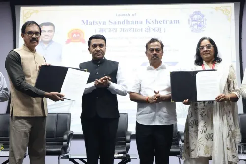
The Chief Minister's Office of Goa launched Matsya Sandhana Kshetram on 10 August 2026, deploying satellite and oceanographic data to help the state's fishing community locate fish more efficiently, cut costs, and fish sustainably along the Arabian Sea coast.
Key Takeaways
The Chief Minister's Office of Goa announced the launch of Matsya Sandhana Kshetram on 10 August 2026 .
The initiative uses science and satellite data to guide Goa's fishermen toward productive fishing zones.
It builds on the national Potential Fishing Zone (PFZ) advisory framework operated by INCOIS since the early 2000s.
The stated goals are smarter decision-making, greater sustainability, and higher productivity for Goan fishermen .
Goa joins several other Arabian Sea coastal states that have adopted satellite-linked fisheries advisories under broader national marine resource frameworks.
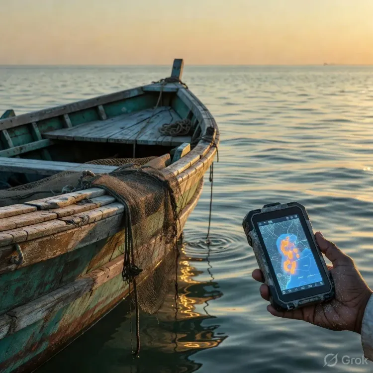
Goa's fishing community got a technology-powered boost on Monday, 10 August 2026, as the Chief Minister's Office of Goa announced the launch of Matsya Sandhana Kshetram — a new initiative that puts satellite data and ocean science directly in the hands of the state's fishermen to help them fish smarter, safer, and more sustainably.
What Matsya Sandhana Kshetram means for Goa's fishermen
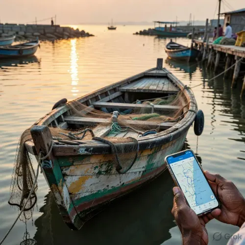
The initiative channels satellite-derived ocean data — the kind that tracks sea surface temperatures and chlorophyll concentrations to pinpoint where fish are likely to congregate — into actionable guidance for fishing communities along Goa's Arabian Sea coastline. The CMO described it as 'a new era' for the sector, framing the launch around three pillars: smarter decisions, sustainable practices, and higher productivity.
This is not a leap into the unknown. INCOIS — the Indian National Centre for Ocean Information Services, established in 1999 — has operated Potential Fishing Zone (PFZ) advisories since the early 2000s, using exactly this class of satellite data to steer Indian fishermen toward productive waters and away from unproductive stretches. Goa's new initiative appears to build on that national infrastructure, adapting it to state-level fisheries management.
Goa joins a growing wave of coastal tech adoption
Goa's move fits a clear national pattern: coastal states across India have progressively integrated remote sensing and oceanographic intelligence into their fisheries frameworks, backed by central marine resource programmes. States fishing the Arabian Sea have been among the more active adopters of PFZ-linked advisories, given the sea's variable productivity and the economic pressure on fishing communities.
The sustainability angle is equally significant. Satellite-guided fishing reduces fuel consumption — fishermen spend less time searching open water — and discourages over-exploitation of depleted zones. For a small state like Goa, where marine fishing is both a livelihood and a cultural identity, the balance between catch and conservation carries real weight.
What comes next for the initiative
The immediate question is how Matsya Sandhana Kshetram integrates with existing central fisheries schemes and what monitoring mechanisms will track its impact on catch volumes, fuel savings, and fish stock health. State-level adoption is only as effective as the last-mile delivery — whether advisories reach individual boat operators in time to change daily decisions at sea.
If the infrastructure holds, Goa's fishermen could gain a genuine competitive and ecological edge on the Arabian Sea. Science, in this case, sails with them.
Point of View
The state reduces implementation risk while claiming a visible policy win for fishing communities. The real test will be last-mile adoption: whether daily fishermen actually receive and act on advisories. If uptake is strong, Goa could become a replicable model for small coastal states balancing livelihood demands against marine conservation targets.
NationPress
10 Aug 2026
Frequently Asked Questions
What is Matsya Sandhana Kshetram in Goa?
Matsya Sandhana Kshetram is a Goa government initiative launched on 10 August 2026 that uses satellite data and ocean science to guide fishermen to productive fishing zones, aiming for smarter, more sustainable, and more productive fishing in the Arabian Sea.
How does satellite data help Goa fishermen find fish?
Satellites track sea surface temperature and ocean colour to identify areas where fish are likely to gather. These insights are converted into Potential Fishing Zone advisories, helping fishermen target productive waters and reduce time and fuel spent searching open sea.
What is INCOIS and its role in Indian fisheries?
INCOIS, the Indian National Centre for Ocean Information Services established in 1999, has provided Potential Fishing Zone advisories to Indian coastal fishermen since the early 2000s using satellite-derived oceanographic data.
Is satellite-guided fishing used in other Indian coastal states?
Yes. Several coastal states fishing the Arabian Sea and Bay of Bengal have adopted PFZ and related satellite advisories under national marine resource frameworks, and Goa's initiative follows that broader pattern of state-level technology adoption.
How does Matsya Sandhana Kshetram promote sustainable fishing?
By directing fishermen to where fish actually are, the initiative reduces fuel consumption and discourages over-exploitation of depleted zones, supporting both economic efficiency and the long-term health of Goa's marine stocks.