How is the Govt's NAKSHA initiative modernizing land records?
Synopsis
The NAKSHA initiative by the Centre's DoLR aims to transform urban land records in India, ensuring they are modern and easily accessible. This capacity-building effort is crucial as urban populations surge towards 600 million by 2031.
Key Takeaways
NAKSHA aims to modernize urban land records in India.
Training includes hands-on experience with geospatial technologies.
Over 300 officials from 157 Urban Local Bodies are participating.
Training covers legal, technical, and practical skills for land surveys.
NAKSHA is a collaborative effort involving multiple organizations.
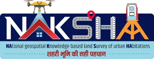
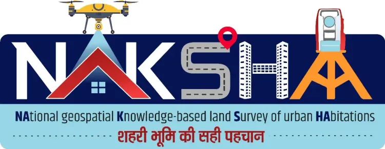
New Delhi, June 1 (NationPress) - The Centre's Department of Land Resources (DoLR) has announced the commencement of the second phase of capacity-building under the NAKSHA (National geospatial Knowledge-based land Survey of urban Habitations) initiative across five Centres of Excellence (CoEs) nationwide.
As India's urban population is projected to surpass 600 million by 2031, the demand for modern, verifiable, and easily accessible land records is more critical than ever. The NAKSHA programme is designed to tackle this issue through an innovative, technology-based strategy.
Last month marked the completion of the first phase, during which 160 master trainers from participating states/UTs were trained.
The second phase will be inaugurated virtually by Manoj Joshi, Secretary of the Department of Land Resources, on Monday, as announced by the Ministry of Rural Development.
This training initiative has nominated 304 ULB-level and district officers from 157 urban local bodies (ULBs).
These officials will receive hands-on training in utilizing modern geospatial technologies for efficient urban property surveys.
The training will span a week, beginning Tuesday, at locations including Lal Bahadur Shastri National Academy of Administration (LBSNAA) in Mussoorie, Yashwantrao Chavan Academy of Development Administration (YASHADA) in Pune, Northeast Region Centre of Excellence in Guwahati, Mahatma Gandhi State Institute of Public Administration (MGSIPA) in Chandigarh, and Administrative Training Institute (ATI) in Mysuru.
The objective of this training is to furnish ULB officers and field staff with the technical and practical expertise necessary for conducting high-accuracy land surveys within the NAKSHA programme.
Training modules will encompass the programme framework, GNSS and ETS-based surveying, Web-GIS applications, land parcel mapping, and the legal-administrative components of land surveys.
Implemented by the Department of Land Resources (DoLR) in collaboration with the Survey of India, NICSI, MPSeDC, and five Centres of Excellence, the NAKSHA pilot programme has been initiated across 157 Urban Local Bodies (ULBs) in 27 states and three Union Territories.
Point of View
The NAKSHA initiative represents a significant step towards modernizing land records in India. By leveraging technology and training local officers, this programme not only aims to improve administrative efficiency but also ensures that citizens have better access to land-related information.
NationPress
22 Jul 2026
Frequently Asked Questions
What is the NAKSHA initiative?
The NAKSHA initiative is a programme by the Centre's Department of Land Resources aimed at modernizing land records across urban areas in India using geospatial technologies.
How many phases are there in the NAKSHA training programme?
The NAKSHA training programme consists of multiple phases, with the second phase currently being conducted to build capacity among ULB officers.
Why is the NAKSHA initiative important?
With India's urban population expected to exceed 600 million by 2031, the NAKSHA initiative addresses the critical need for modern, accessible, and verifiable land records.
Where will the training for ULB officers be held?
The training for ULB officers will take place at various Centres of Excellence, including LBSNAA in Mussoorie, YASHADA in Pune, and several others.
Who is implementing the NAKSHA programme?
The NAKSHA programme is being implemented by the Department of Land Resources in collaboration with the Survey of India and several other organizations.