Will the Vigorous Southwest Monsoon Cause Heavy Rainfall in North TN Until Wednesday?
Synopsis
As the Southwest monsoon gains momentum, heavy rainfall is expected across northern Tamil Nadu through Wednesday. With warnings issued by the RMC, residents should prepare for significant weather changes. The rainfall trend brings a positive outlook for water resources in the region. What should you know about the impending weather conditions?
Key Takeaways
Heavy rainfall expected in northern Tamil Nadu until Wednesday.
Significant weather changes due to an upper-air cyclonic circulation.
Potential for heavy downpours in Tiruvallur, Ranipet, Vellore, and Tirupattur.
Temperatures remain cooler than usual due to ongoing rain.
Seasonal rainfall surplus of 20% since June 1.
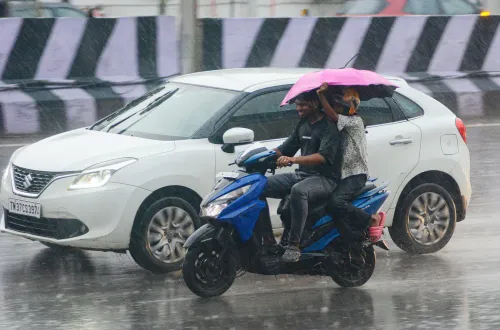
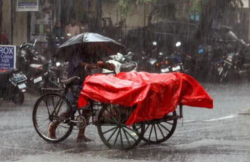
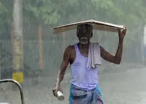
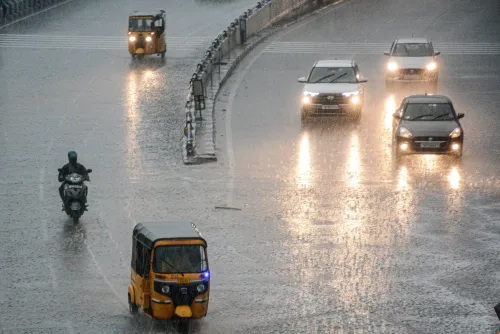
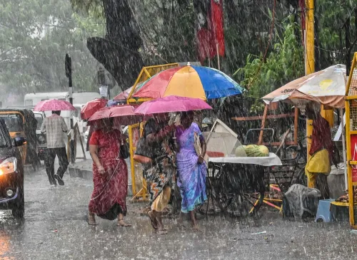
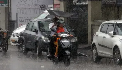
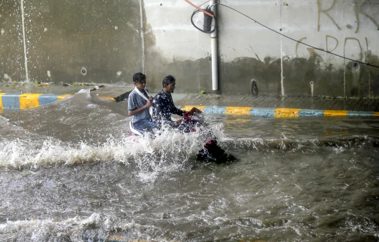
Chennai, Aug 12 (NationPress) The Southwest monsoon has intensified over Tamil Nadu and is poised to deliver widespread, scattered rainfall across various regions of the state until Wednesday.
The Regional Meteorological Centre (RMC), Chennai, has issued a warning for heavy rainfall in certain northern districts over the next two days.
As per the RMC, an upper-air cyclonic circulation over northern coastal Andhra Pradesh and neighboring Telangana is expected to enhance rainfall activity in the northern sections of Tamil Nadu.
This weather system is anticipated to produce light to moderate showers in some locations in north Tamil Nadu on Tuesday, with districts such as Tiruvallur and Ranipet likely to experience heavy downpours.
On Wednesday, the rainfall pattern is projected to extend to more districts, including Vellore and Tirupattur, which may also receive significant precipitation.
Officials have indicated that as the monsoon gains strength in nearby Kerala, the Nilgiris district is also expected to witness heavy rainfall until Wednesday.
This wet spell is likely to continue across various parts of the state until the weekend.
The prevailing cloudy and rainy conditions have kept temperatures in most districts lower than usual on Monday, with the maximum temperature at Chennai's Nungambakkam station recorded at 35.3 degrees Celsius, the highest in the state.
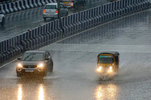
Numerous locations, including Vellore, Mayiladuthurai, Coimbatore, Tiruvallur, Ranipet, and Salem, received rainfall until 6 p.m. on Monday.
B. Amudha, Head (Additional in-charge) of the RMC, stated that a low-pressure system is likely to form over the northwest and west-central Bay of Bengal around Wednesday. This developing system could bring substantial rainfall to Andhra Pradesh and neighboring regions.
"Some districts in Tamil Nadu may receive heavy rain due to possible cloud banding around the system. We will have a clearer understanding of the rainfall pattern once the low-pressure area solidifies," she added.
For Chennai, the RMC has forecasted chances of evening showers triggered by thunderstorm activity. Light to moderate rainfall is anticipated in some parts of the city on Tuesday.
The recent rainfall has boosted Tamil Nadu's seasonal rainfall to a 20 percent surplus since the onset of the southwest monsoon on June 1, providing a positive outlook for water availability in the coming months.
Point of View
The ongoing Southwest monsoon not only impacts local weather conditions but is also crucial for agricultural sustainability and water resource management in Tamil Nadu. As we observe the rain patterns evolve, it is vital to remain informed and prepared for potential disruptions caused by heavy rainfall.
NationPress
30 Jun 2026
Frequently Asked Questions
What is happening with the Southwest monsoon in Tamil Nadu?
The Southwest monsoon has intensified, bringing widespread rainfall across Tamil Nadu, particularly in northern districts until Wednesday.
Which areas are expected to receive heavy rainfall?
Northern districts, including Tiruvallur and Ranipet, are likely to experience heavy rainfall, along with Vellore and Tirupattur.
How will the weather impact temperatures in the region?
The ongoing rainy conditions have kept temperatures lower than usual, with a maximum of 35.3 degrees Celsius recorded in Nungambakkam, Chennai.
What are the projections for the rainfall in Tamil Nadu?
The rainfall is expected to continue until the weekend, contributing to a seasonal surplus of 20 percent since the monsoon's onset.
What is the significance of the rainfall for Tamil Nadu?
The increased rainfall is beneficial for water availability and agricultural sustainability in the state.