Navigating Challenges: The Indian Navy's Role in the Strait of Hormuz
Synopsis
In the challenging landscape of the Strait of Hormuz, the Indian Navy plays a crucial role in safeguarding the nation's energy supply. Their meticulous efforts in Operation Urja Suraksha highlight the importance of naval guidance in maintaining safe maritime navigation.
Key Takeaways
Indian Navy's Operation Urja Suraksha ensures safe navigation through the Strait of Hormuz.
Constant communication and guidance are critical for oil tankers.
Threats in the region, including underwater mines, necessitate cautious navigation.
Hydrographic charts are vital for safe maritime operations.
India's hydrographic efforts extend international support for safer navigation.
New Delhi, March 25 (NationPress) In the volatile waters of the Strait of Hormuz, where global energy transportation faces interruptions, the Indian Navy is engaged in a resolute mission to ensure the continuity of the nation's energy supply.
As Iran's restrictions impact international energy markets amid ongoing conflicts in West Asia, India has diplomatically obtained clearance from Tehran to navigate its vessels through the Strait of Hormuz, successfully maintaining the flow of its shipments.
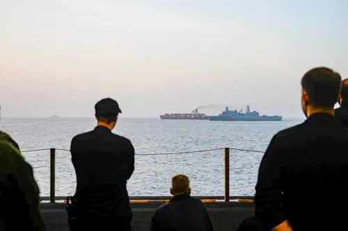
The Indian Navy has been tasked with the critical role of ensuring the safe return of oil tankers. However, this mission goes beyond conventional escort duties. Naval personnel are not just following tankers; they are meticulously guiding them through one of the world’s most pivotal maritime passages.
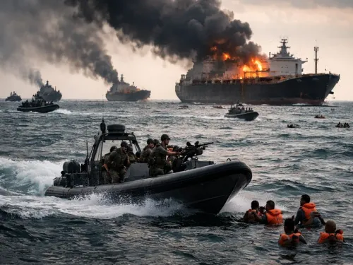
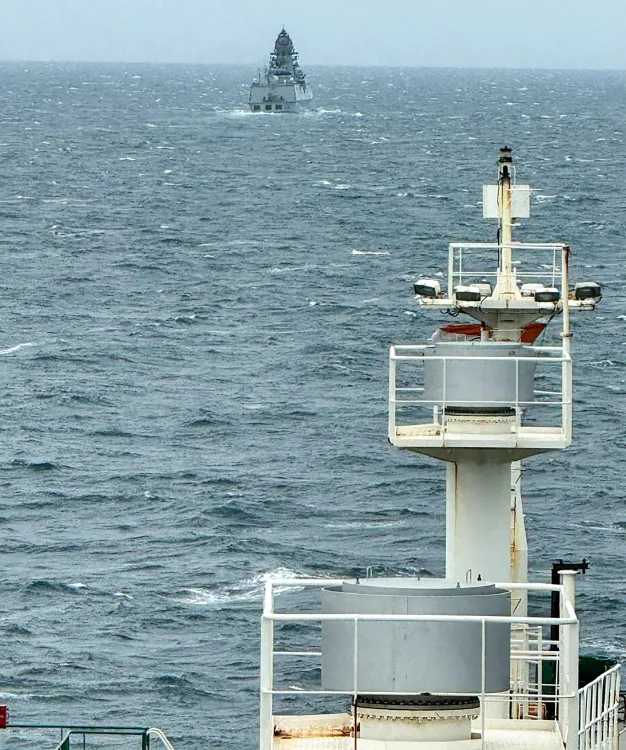
'Operation Urja Suraksha' has been initiated by the Indian Navy, which involves deploying over five advanced warships at this crucial maritime chokepoint.
Government officials report that the Navy maintains constant communication with vessels ready to leave the Persian Gulf. Each ship receives individualized guidance through the Strait, complete with detailed instructions on routes and protocols aimed at ensuring their safe transit.
This approach is both cautious and methodical, emphasizing the potential dangers lurking beneath the waves.
After the vessels navigate past the Strait, Indian Navy destroyers and frigates take over, providing escort for the initial segment of their onward journey. This layered security strategy merges guidance with adequate protection.
Support for this operation comes from an increased naval presence in the Gulf of Oman, where sufficient warships and logistical resources have been mobilized to ensure seamless escort operations.
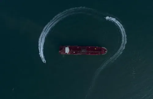
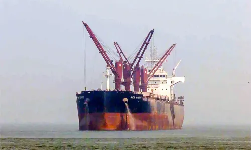
For the crews aboard these tankers, their journey is anything but ordinary. Modern shipping relies heavily on navigation systems based on hydrographic charts—detailed maps of the ocean floor that facilitate safe passage. Without these, navigating such waters would be perilous.
The risks are very real. Reports from media indicate that US Intelligence has claimed that Iran has laid underwater mines in the vicinity of the Strait of Hormuz. These mines, which can inflict significant damage, contribute to the uncertainty that vessels must contend with. Additional potential threats in the region further intensify the need for caution.
In this precarious environment, the guidance provided by the Indian Navy is indispensable. By directing Indian-flagged vessels along carefully identified safe routes, it helps crews evade hidden dangers and proceed with a degree of assurance.
A significant portion of this capability relies on hydrographic charts, which are absolutely essential. Below the sea's surface lies a dynamic landscape. Ocean depths can change dramatically—from just a few metres near ports to thousands of metres in open waters—and natural events like tsunamis can reshape the seabed over time.
These charts are produced by specialized survey vessels that meticulously map the ocean floor, defining safe navigation channels. Across the Arabian Sea and the Indian Ocean, a multitude of vessels—ranging from warships to container ships and oil tankers—depend on charts developed by India.
The hydrographic efforts of the Indian Navy extend beyond national waters. It also assists allied nations upon their request in surveying their Exclusive Economic Zones and generating navigation charts. Agreements with various countries in the Indian Ocean Region empower India to support safer maritime operations far beyond its coastline.
Once created, these charts receive international validation and can be utilized by any country or commercial entity.
Amidst a backdrop of tension and unpredictability, this blend of guidance, expertise, and silent coordination is crucial in ensuring that vessels continue their journeys—carefully, steadily, and securely—through one of the globe's most vital waterways.
Point of View
The Indian Navy's operations in the Strait of Hormuz are crucial for energy security and regional stability. Their expert navigation and strategic presence highlight India’s commitment to safeguarding its maritime interests and ensuring safe passage through this pivotal waterway.
NationPress
26 Jun 2026
Frequently Asked Questions
What is the purpose of Operation Urja Suraksha?
Operation Urja Suraksha aims to ensure the safe navigation of Indian oil tankers through the Strait of Hormuz amidst ongoing regional tensions.
Why is the Strait of Hormuz significant?
The Strait of Hormuz is a vital maritime corridor for global energy transportation, making it crucial for the stability of international energy markets.
How does the Indian Navy ensure the safety of vessels?
The Indian Navy provides meticulous guidance to vessels, maintaining constant communication and deploying warships for escort operations.
What threats do vessels face in the Strait of Hormuz?
Vessels face threats such as underwater mines reportedly deployed by Iran and other potential dangers in the region.
How does hydrographic mapping contribute to maritime safety?
Hydrographic mapping provides essential ocean floor information, enabling safe navigation and preventing accidents in challenging waters.