Has the Monsoon Regained Its Strength in MP?
Synopsis
As the monsoon rejuvenates in Madhya Pradesh, unexpected heavy rainfall has swept across the state, raising concerns about agriculture and water reserves. Discover the latest updates on weather alerts, rainfall statistics, and what this means for local farmers facing drought-like conditions. Can the rain save the crops just in time?
Key Takeaways
Heavy rainfall has returned to Madhya Pradesh after a brief pause.
An orange alert has been issued for six districts, warning of very heavy rainfall.
Many eastern districts have exceeded their seasonal rainfall averages.
Western regions are facing drought-like conditions impacting soybean crops.
Forecasts suggest sustained rainfall may occur in the latter half of August.
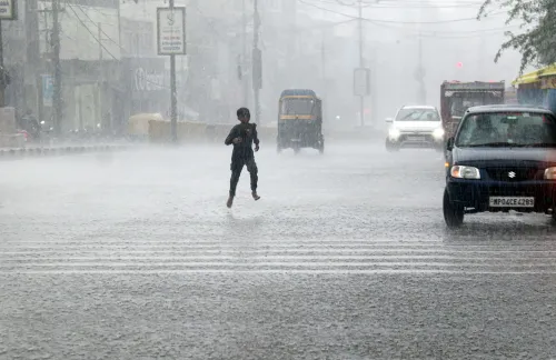
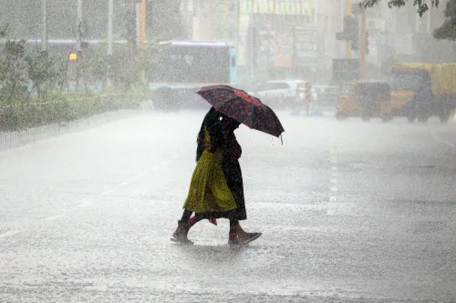
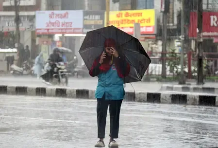
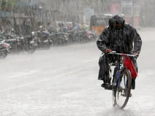
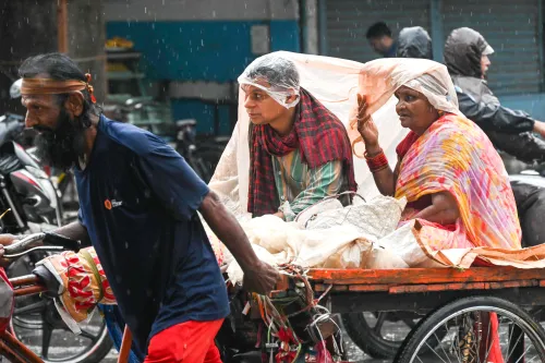
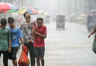
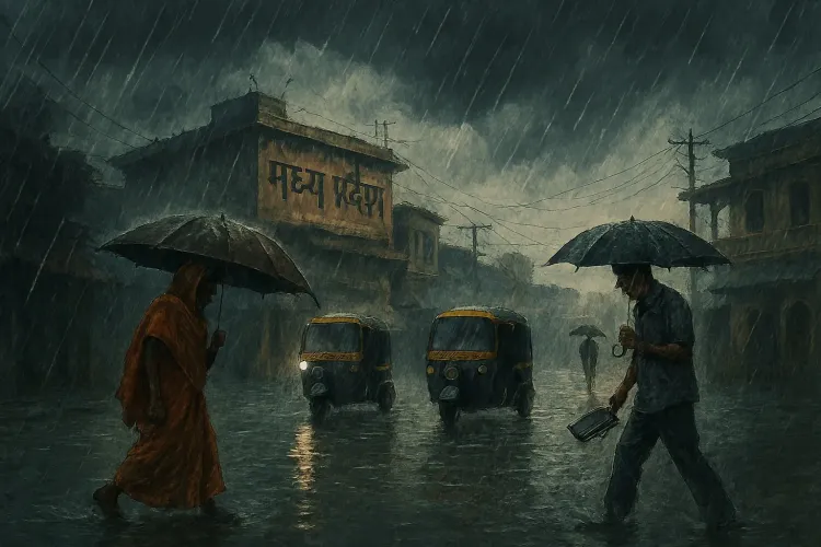
Bhopal, Aug 13 (NationPress) Following a brief pause, the monsoon has made a robust return across Madhya Pradesh, unleashing sudden and heavy rainfall across various regions of the state.
On Wednesday, Bhopal experienced a downpour that left roads inundated, causing significant traffic disruptions. Similar effects were observed in Jabalpur, Damoh, and Narmadapuram, where sporadic showers alternated with intense rainfall.
In Itarsi, light rain continued throughout the day, indicating the presence of an active weather system. The IMD has issued an orange alert for extremely heavy rainfall in six districts—Narmadapuram, Betul, Harda, Narsinghpur, Chhindwara, and Pandhurna—valid until 8:30 AM on August 14.
A yellow alert has also been declared for 13 districts, including Raisen, Sehore, Burhanpur, Khandwa, Khargone, Singrauli, Sidhi, Shahdol, Umaria, Katni, Jabalpur, Seoni, and Balaghat, cautioning of heavy rain accompanied by lightning.
As per the Bhopal Meteorological Centre of the India Meteorological Department (IMD), multiple cyclonic circulations are currently impacting the region's weather.
A monsoon trough extending from Bathinda to Arunachal Pradesh, combined with upper air systems over northwest Uttar Pradesh and the Bay of Bengal, is responsible for the widespread rainfall.
A new low-pressure system is projected to develop over the west-central Bay of Bengal within the next 48 hours, which could amplify rainfall across Madhya Pradesh.
To date, Madhya Pradesh has recorded an average of 29.7 inches of rainfall this monsoon season, in contrast to a normal quota of 37 inches.
Eastern districts such as Jabalpur, Sagar, Shahdol, and Rewa have surpassed their seasonal averages by 35 percent, whereas western areas like Indore and Ujjain continue to lag, facing drought-like conditions that are beginning to affect soybean crops.
Meteorologists predict that the latter half of August will usher in sustained rainfall, potentially aiding the state in achieving its seasonal quota.
With 29 percent more rainfall than usual already logged statewide, the upcoming weeks could be crucial for both agriculture and water reserves. Data indicates that Jabalpur, Sagar, Shahdol, and Rewa divisions have received 35 percent more rain than the norm, while Bhopal, Indore, Ujjain, Gwalior, Chambal, and Narmadapuram divisions have recorded 22 percent more.
Overall, Madhya Pradesh has experienced 29 percent more rain than expected, indicating a more favorable situation than anticipated.
Meteorological experts maintain that if a robust weather system remains active in the upcoming week, the rainfall figures could soon align in the remaining districts as well.
However, for the past 12 days, many districts, including Bhopal, have seen a recess in rainfall. The situation is particularly concerning in Indore and Ujjain divisions, where drought-like conditions have developed due to the unpredictable weather. Farmers are increasingly worried as soybean crops begin to deteriorate in these areas.
Point of View
We at NationPress recognize the importance of informing our audience about the ongoing monsoon situation in Madhya Pradesh. The significant rainfall could have wide-ranging implications for agriculture, especially for soybean farmers facing challenges due to recent drought-like conditions. Staying informed is crucial as we navigate these dynamic weather changes together.
NationPress
3 Jul 2026
Frequently Asked Questions
What is the current rainfall status in Madhya Pradesh?
Madhya Pradesh has received an average of 29.7 inches of rainfall this monsoon season, which is 29 percent more than the usual amount. Eastern districts are performing well, but western regions are facing drought-like conditions.
What alerts have been issued for the region?
An orange alert for very heavy rainfall has been issued for six districts, and a yellow alert for heavy rain has been declared for 13 districts, warning residents of potential lightning.
How does the monsoon impact agriculture in MP?
The monsoon is crucial for agriculture in Madhya Pradesh, especially for crops like soybean. Recent drought-like conditions have raised concerns among farmers, making the recent rains vital for crop recovery.
What can we expect for the weather in the coming weeks?
Meteorologists predict that sustained rainfall in the latter half of August could help the state meet its seasonal rainfall quota, benefiting both agriculture and water reserves.
How has the rainfall varied across different districts?
Eastern districts such as Jabalpur and Sagar have exceeded their seasonal averages by 35 percent, while western areas like Indore and Ujjain are lagging behind.