Shivraj Singh Chouhan and CM Mohan Yadav to Launch NAKSHA in Raisen, MP Today

Synopsis
Union Minister Shivraj Singh Chouhan and CM Mohan Yadav will inaugurate the NAKSHA program in Raisen, MP, aiming to enhance urban land records and planning. This initiative is designed to empower citizens and reduce land disputes.
Key Takeaways
NAKSHA aims to enhance urban land records.
Inauguration by Shivraj Singh Chouhan and Mohan Yadav.
Drone operations will be featured at the event.
Standard Operating Procedure booklet will be launched.
Government fully funds NAKSHA pilot programme.
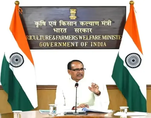
Bhopal, Feb 18 (NationPress) Union Minister of Rural Development and Agriculture & Farmers’ Welfare Shivraj Singh Chouhan along with Chief Minister Mohan Yadav is set to inaugurate the National Geospatial Knowledge-based Land Survey of Urban Habitations (NAKSHA) in Madhya Pradesh's Raisen on Tuesday.
The Central Government has rolled out the 'NAKSHA' initiative aimed at establishing and renewing land records within urban locales. The Department of Land Resources, under the Ministry of Rural Development, has launched this pilot project across 152 Urban Local Bodies (ULBs) in 26 states and 3 Union Territories (UTs).
The event will feature drone operations, the unveiling of the Standard Operating Procedure (SoP) manual, along with a video and flyer about the NAKSHA initiative, the commencement of the WDC Yatra, a WDC video screening, and the performance of the Watershed Anthem.
The main goal of the NAKSHA programme is to develop and refresh land records, ensuring precise and trustworthy documentation of land ownership. This initiative is designed to empower citizens, enhance living standards, facilitate urban planning, and decrease land-related conflicts, as highlighted in a government press release.
The technology-driven property record management system will promote transparency, efficiency, and sustainable development.
The Survey of India serves as the technical partner for the NAKSHA programme, overseeing aerial surveys and supplying orthorectified imagery via third-party vendors to state and Union Territory authorities. The comprehensive web-GIS platform is being developed by the Madhya Pradesh State Electronic Development Corporation (MPSEDC), while storage solutions will be provided by National Informatics Centre Services Inc.
State and Union Territory governments are expected to undertake field surveys and ground verification utilizing the orthorectified imagery, which will ultimately lead to the formal publication of urban and semi-urban land records.
The NAKSHA pilot programme is anticipated to incur a cost of approximately Rs 194 crore, fully sponsored by the Government of India, as per a press statement from the Ministry of Rural Development.