Is Odisha Facing Heavy Rainfall? IMD Issues Red Alert!
Click to start listening
Synopsis
As Odisha braces for heavy rainfall, the IMD has issued a red alert. With a low-pressure area developing in the Bay of Bengal, the state is likely to experience significant downpours over the next few days, impacting several districts and prompting warnings for fishermen. Stay tuned for more updates on this evolving weather situation!
Key Takeaways
- Heavy rainfall expected across Odisha.
- IMD issues red alert for certain districts.
- Warnings for fishermen to stay ashore.
- Widespread rainfall to continue for three days.
- Monitoring weather updates is crucial for safety.
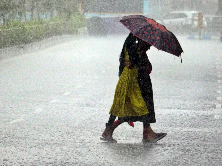
Bhubaneswar, Sep 26 (NationPress) On Friday, numerous regions in Odisha faced significant rainfall due to the emergence of a new low-pressure system in the Bay of Bengal near the state's coastline.
The India Meteorological Department (IMD) announced that a prominent low-pressure area situated over northwest and adjacent central Bay of Bengal is anticipated to shift westward and evolve into a depression off the South Odisha - North Andhra Pradesh coasts within the next 24 hours.
Since Friday morning, both coastal and southern regions of the state have been receiving heavy downpours.
The weather forecast suggests that widespread rainfall is expected to continue across many districts for the upcoming three days. IMD Bhubaneswar Director, Manorama Mohanty, stated that the system is likely to cross into south Odisha and north Andhra Pradesh by the morning of September 27, resulting in extensive rainfall throughout Odisha.
“In the next 48 hours, heavy to very heavy rainfall is predicted in various districts. Severe rainfall is anticipated in isolated areas of Malkangiri and Kalahandi, while Koraput, Rayagada, Kandhamal, and Gajapati are expected to see heavy to very heavy rain. Other districts might also experience isolated heavy rainfall,” Mohanty noted.
The IMD issued a red alert for exceptionally heavy rainfall, thunderstorms, and lightning, accompanied by wind speeds of 40-50 km/h (gusting to 60 km/h) in select areas of Koraput, Malkangiri, and Kalahandi.
An orange alert was also issued for heavy to very heavy rain, thunderstorms, and strong winds (40-50 km/h, gusting to 60 km/h) in various regions including Nabarangpur, Nuapada, Bolangir, Rayagada, Gajapati, Ganjam, Kandhamal, Nayagarh, Dhenkanal, Khurda, Puri, Cuttack, Jagatsinghpur, and Kendrapara.
Mohanty further advised fishermen to refrain from venturing into the sea, as rough to very rough conditions are expected along the Odisha coastline and nearby sea regions. Rainfall activity is anticipated to gradually diminish starting from the third day.
Point of View
It is vital to keep the public informed about the severe weather conditions affecting Odisha. The IMD's timely alerts and warnings are essential tools for ensuring the safety of residents and fishermen alike. We must prioritize awareness during such critical situations to mitigate risks and safeguard lives.
NationPress
26/09/2025
Frequently Asked Questions
What caused the heavy rainfall in Odisha?
The heavy rainfall in Odisha is attributed to a newly formed low-pressure area in the Bay of Bengal that is expected to intensify and move westward.
Which districts in Odisha are under red alert?
The red alert for extremely heavy rainfall is issued for Koraput, Malkangiri, and Kalahandi.
How long will the rainfall last in Odisha?
Widespread rainfall is anticipated to persist across most districts for the next three days.
What precautions should fishermen take?
Fishermen are advised not to venture into the sea due to expected rough conditions along the Odisha coast.
Will the rainfall activity decrease?
Yes, rainfall activity is expected to gradually decrease after the third day.