What is the Status of Marine Fishing Villages Under PM Matsya Sampada Yojana?
Synopsis
The Department of Fisheries has launched a nationwide validation of marine fishing villages as a precursor to the 5th Marine Fisheries Census (MFC-2025). This initiative, part of the Pradhan Mantri Matsya Sampada Yojana, aims to gather critical data to support sustainable development in marine fishing communities across India.
Key Takeaways
Nationwide validation of marine fishing villages initiated.
Part of the Pradhan Mantri Matsya Sampada Yojana.
Involves 3,500 villages across 13 states and UTs.
Utilizes VyAS-NAV for real-time data collection.
Focus on sustainable development of marine fishing communities.
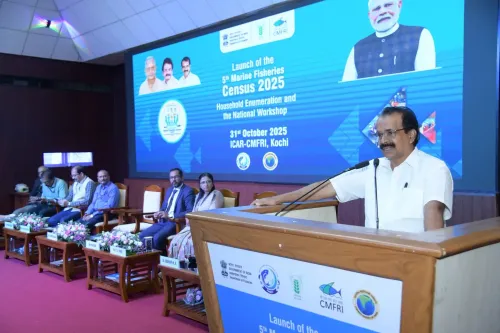
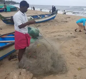
Kochi, July 18 (NationPress) In a significant move towards preparing for the 5th Marine Fisheries Census (MFC-2025), the Department of Fisheries, operating under the Ministry of Fisheries, Animal Husbandry and Dairying, initiated a nationwide process of validation and geo-referencing of marine fishing villages on Friday. This effort is being executed in collaboration with the ICAR-Central Marine Fisheries Research Institute (CMFRI).
The MFC-2025 initiative is part of the Pradhan Mantri Matsya Sampada Yojana (PMMSY), with CMFRI acting as the central agency for its implementation throughout India.
Over the course of two weeks, this endeavor aims to create an accurate and updated framework for marine fishing villages along India’s coastline and islands, setting the stage for a comprehensive household enumeration across 3,500 villages in 13 coastal states and Union Territories, scheduled for November–December 2025.
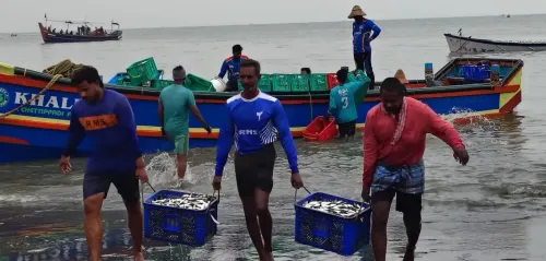
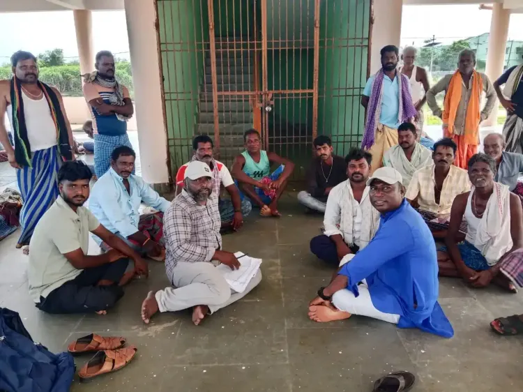
More than 100 officials from CMFRI and the Fishery Survey of India (FSI) will be visiting each marine fishing village to validate its status, define boundaries, and compile an updated village profile.
This validation will utilize the VyAS-NAV (Village-Jetty Appraisal Navigator), a specially designed mobile application by CMFRI that facilitates real-time, geo-referenced data collection.
“Creating an accurate and updated framework for marine fishing villages is crucial for the success of the household enumeration,” stated Neetu Kumari Prasad, Joint Secretary of the Department of Fisheries.
In partnership with state fisheries departments and local administrative entities, census teams will evaluate each village’s reliance on marine fishing and related activities, estimate the number of marine fisher households, and geotag village boundaries.
The gathered data will contribute to a GIS-enabled MFC dashboard, which will be supported by a robust online backup system and a two-tier supervision framework at district and state levels, ensuring data integrity.
Dr. Grinson George, Director of CMFRI, mentioned that teams will also identify and train local community members as enumerators for the household survey phase.
Neetu Kumari Prasad further noted that the census will yield in-depth data on socio-economic conditions, livelihood dependencies, and infrastructure deficiencies, empowering the Government to devise targeted interventions for the sustainable development of marine fishing communities.
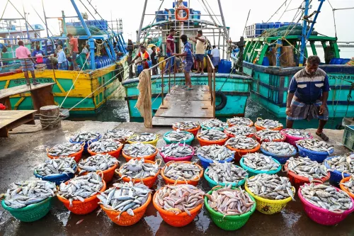
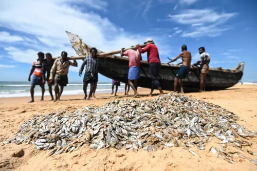
The census will collect demographic and livelihood data from fishing communities, in addition to infrastructure details such as fishing vessels, fishing gear, harbors, fish landing centers, processing units, and cold storage facilities.
Point of View
The initiative represents a significant step towards enhancing the socio-economic conditions of marine fishing communities. The collaboration between governmental departments and local entities showcases a commitment to sustainable fishing practices and data-driven decision-making.
NationPress
21 Jun 2026
Frequently Asked Questions
What is the purpose of the Marine Fisheries Census?
The Marine Fisheries Census aims to collect data on marine fishing villages to support sustainable development and create targeted interventions for fishing communities.
Who is conducting the census?
The census is being conducted by the Department of Fisheries in collaboration with the ICAR-Central Marine Fisheries Research Institute (CMFRI) and the Fishery Survey of India (FSI).
How many villages will be included in the census?
The census will encompass approximately 3,500 marine fishing villages across 13 coastal states and Union Territories.
What technology is being used for data collection?
The VyAS-NAV (Village-Jetty Appraisal Navigator), a custom-built mobile application, will be used for real-time geo-referenced data collection.
What kind of data will be collected?
Data on socio-economic conditions, livelihood dependencies, and infrastructure details such as fishing vessels and processing units will be collected.