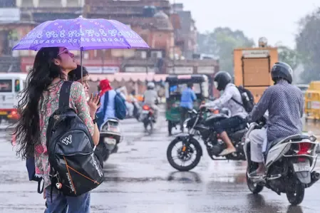
Western Disturbance from June 11 to bring rain relief as Rajasthan reels under heat
Synopsis
Rajasthan is caught between extremes: Sri Ganganagar just logged 45.6°C — the highest in the country — while a Western Disturbance arriving June 11 promises thunderstorms and rain. Before relief comes, Jodhpur and Bikaner divisions face temperatures that could climb another 2-3 degrees. The state is in a volatile pre-monsoon window where the same week can deliver both heatwave alerts and storm warnings.
Key Takeaways
The IMD on 9 June forecast a fresh Western Disturbance to become active from June 11 , bringing thunderstorms and rainfall to parts of Rajasthan .
Sri Ganganagar recorded 45.6 degrees Celsius on 8 June — the highest temperature in both Rajasthan and India that day.
Sri Ganganagar , Jaisalmer , and Bikaner recorded maximums between 44°C and 46°C .
Temperatures in Jodhpur and Bikaner divisions may rise by another 2 to 3 degrees Celsius before the disturbance arrives.
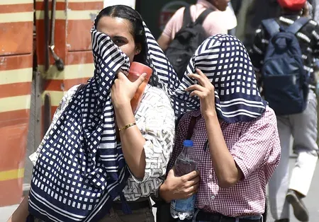
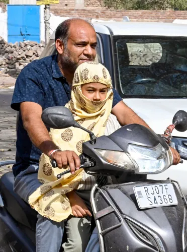
Authorities have advised residents to avoid prolonged outdoor exposure during peak daytime heat hours.
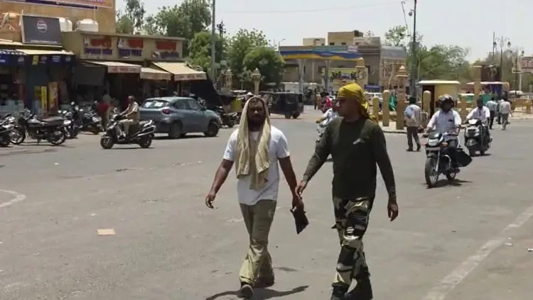
The India Meteorological Department (IMD) on Tuesday, 9 June forecast a shift in weather conditions across Rajasthan, with a fresh Western Disturbance set to become active from June 11, bringing thunderstorms, gusty winds, and rainfall to several parts of the state. The forecast comes even as Sri Ganganagar district recorded a searing 45.6 degrees Celsius on Monday — making it the hottest city in both Rajasthan and the entire country that day.
Current Heat Conditions Across Rajasthan
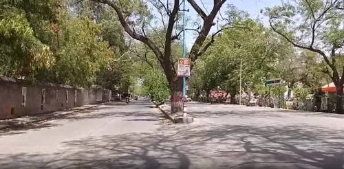
Most parts of Rajasthan endured intense heat and high humidity on Monday, 8 June, with temperatures continuing to climb despite the ongoing pre-monsoon season. Clear skies prevailed across much of the state during the day, accelerating the temperature rise and making conditions particularly uncomfortable for residents.
Sri Ganganagar, Jaisalmer, and Bikaner recorded maximum temperatures ranging between 44 degrees Celsius and 46 degrees Celsius. Sangaria in Hanumangarh district logged the highest minimum temperature at 35.3 degrees Celsius, while Sirohi recorded the lowest minimum at 22.7 degrees Celsius.
What the Western Disturbance Will Bring
The approaching Western Disturbance, expected to activate from June 11, is likely to deliver a spell of thunderstorms and rainfall across several districts, offering temporary respite from the heatwave. However, before that relief arrives, the IMD issued simultaneous alerts on Tuesday for both thunderstorm activity and heatwave conditions — a reflection of Rajasthan's sharply contrasting weather zones.
During the past 24 hours, light rainfall was recorded at isolated locations in eastern Rajasthan, while western Rajasthan remained largely dry. Heatwave and warm-night conditions were reported at one or two locations in the western region.
Forecast for Jodhpur and Bikaner Divisions
Weather experts have predicted that most areas under the Jodhpur and Bikaner divisions will continue to see predominantly clear skies over the next two to three days. As a result, daytime temperatures in these zones could rise by a further 2 to 3 degrees Celsius, significantly increasing the likelihood of heatwave conditions at several locations.
Authorities have advised residents to avoid prolonged exposure to the sun during peak daytime hours and to take necessary precautions against heat-related illness.
Rajasthan's Path Toward Monsoon
Rajasthan currently presents a split weather picture — scorching heat gripping the western and northwestern districts while pre-monsoon showers offer intermittent relief in the east. The activation of the Western Disturbance on June 11 is expected to be a transitional event as the state edges closer to the southwest monsoon season. All eyes are now on whether the disturbance delivers meaningful rainfall or merely a brief, localised respite before temperatures rebound.
Point of View
But with Jodhpur and Bikaner divisions forecast to heat up further before it arrives, the most vulnerable populations — outdoor workers, the elderly, rural communities without cooling infrastructure — face the sharpest risk. The recurring cycle of 'relief forecast' narratives should not obscure the fact that Rajasthan's western belt regularly breaches 45°C each June with little systemic mitigation in place.
NationPress
22 Sept 2026
Frequently Asked Questions
When will the Western Disturbance bring relief to Rajasthan?
A fresh Western Disturbance is expected to become active from June 11 , bringing thunderstorms, gusty winds, and rainfall to several parts of Rajasthan. Before that, the IMD has warned of continued heatwave conditions, particularly in the Jodhpur and Bikaner divisions.
Which city was the hottest in India on 8 June 2025?
Sri Ganganagar in Rajasthan was the hottest city in India on 8 June, recording a maximum temperature of 45.6 degrees Celsius . It was also the hottest city in the state that day.
How much hotter could Rajasthan get before the Western Disturbance arrives?
According to weather experts, daytime temperatures in the Jodhpur and Bikaner divisions could rise by a further 2 to 3 degrees Celsius over the next two to three days, increasing the likelihood of heatwave conditions at multiple locations.
Which parts of Rajasthan received rainfall recently?
Light rainfall was recorded at isolated locations in eastern Rajasthan during the 24-hour period ending 9 June. Western Rajasthan remained largely dry, with heatwave and warm-night conditions reported at one or two locations in that region.
What precautions has the government advised amid the heatwave?
Authorities have advised residents to avoid prolonged exposure to extreme heat and to take necessary precautions during peak daytime hours. The advice is particularly directed at those in the Jodhpur and Bikaner divisions, where temperatures are expected to remain high before the Western Disturbance arrives.