How is IIT Guwahati Monitoring Glacial Hazards in the Eastern Himalayas?
Synopsis
Discover how researchers from IIT Guwahati have developed a groundbreaking predictive framework that identifies potential glacial lake formations in the Eastern Himalayas, helping to mitigate risks and enhance water resource management.
Key Takeaways
492 potential glacial lake sites identified in the Eastern Himalayas.
The framework aids in hazard management and water resource planning.
Utilization of high-resolution imagery and digital elevation models.
Integration of various predictive methods, with BNN being the most accurate.
The approach is adaptable for use in other glaciated regions globally.
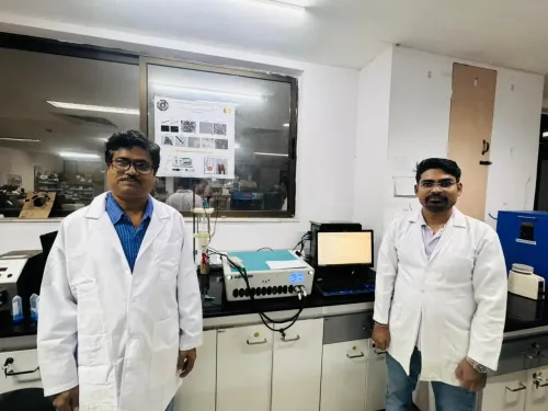
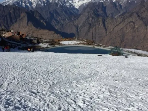
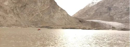
Guwahati, Jan 27 (NationPress) Researchers at the Indian Institute of Technology (IIT) Guwahati have pioneered a predictive framework that has pinpointed 492 sites where glacial lakes are expected to develop within the Eastern Himalayas.
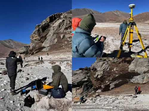
This research, utilizing high-resolution Google Earth imagery and digital elevation models, offers critical insights for both hazard management and water resource planning in elevated mountain areas.
The models effectively captured intricate landscape features and assessed uncertainty in predictions, resulting in more realistic and dependable forecasts.
Utilizing this framework, the research team has highlighted 492 locations in the Eastern Himalayas where new glacial lakes may emerge, signaling regions that necessitate vigilant monitoring and preventive actions.
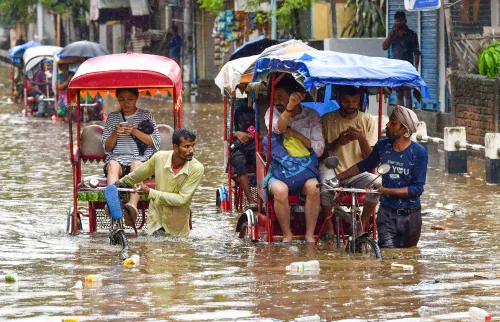
“By identifying high-risk zones, this framework can enhance early-warning systems for Glacial Lake Outburst Floods (GLOFs), assist in planning safer routes for roads, hydropower initiatives, and settlements, and bolster long-term water resource management. It serves as a pragmatic tool for minimizing risks to communities and infrastructure in the Himalayas,” stated Prof. Ajay Dashora, Assistant Professor, Department of Civil Engineering at IIT Guwahati.
“In addition to hazard management, this method can help clarify how water systems may evolve as glaciers recede. Notably, this framework is adaptable to other glaciated mountain regions globally, rendering it a valuable instrument for climate-resilient planning and disaster risk mitigation,” Dashora elaborated.
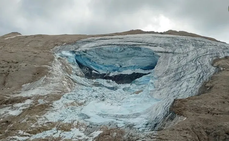
The results, published in Nature’s Scientific Reports, affirm that the land's shape and structure, often neglected in earlier studies, play a pivotal role in determining the emergence of glacial lakes.
During development, the research team evaluated three predictive methodologies, including Logistic Regression (LR), Artificial Neural Network (ANN), and Bayesian Neural Network (BNN).
Among these approaches, the team found the Bayesian Neural Network (BNN) to be the most precise, revealing that specific geological features like nearby lakes, cirques, gentle slopes, and receding glaciers are the most significant indicators of glacial lake formation.
The team intends to incorporate moraine development histories, automate data preparation, and add field-based validation to the framework.
These enhancements aim to improve the model’s precision and augment its application for comprehensive monitoring of glacial hazards.
Point of View
This significant research from IIT Guwahati highlights the urgent need for proactive measures in climate change adaptation. The adaptation strategies presented here could serve as a prototype for other mountainous regions facing similar challenges in disaster risk management.
NationPress
5 Jul 2026
Frequently Asked Questions
What is the main finding of the IIT Guwahati research?
The research identified 492 locations in the Eastern Himalayas where new glacial lakes are likely to form, guiding hazard management and water resource planning.
Why is this research important?
This research provides critical insights for disaster risk reduction and helps in planning infrastructure in high-risk areas prone to Glacial Lake Outburst Floods.
What methodologies were used in the study?
The study employed Logistic Regression, Artificial Neural Network, and Bayesian Neural Network to develop the predictive framework.
How will this framework benefit other regions?
The framework is adaptable to other glaciated mountain regions worldwide, making it valuable for global climate-resilient planning and disaster risk reduction.
What are Glacial Lake Outburst Floods (GLOFs)?
GLOFs are sudden floods caused by the outburst of water from glacial lakes, which can pose severe risks to communities and infrastructure downstream.