
Will the Government Launch a Centralized Survey and Re-Survey of Lands?

Synopsis
The government has unveiled plans for a centralized survey and re-survey of land, aiming to resolve disputes caused by outdated records. With a budget of Rs 3,000 crore for Phase I, this initiative promises to leverage cutting-edge technology for efficient implementation.
Key Takeaways
Centrally coordinated land surveys will address outdated records.
Technology, including drones and AI , will streamline the process.
Integration of Aadhaar numbers is crucial for transparent land governance.
The initiative has a budget of Rs 3,000 crore for the first phase.
Only 4 percent of villages have completed the survey so far.
New Delhi, May 15 (NationPress) On Thursday, the government announced plans to initiate a centrally coordinated and technology-driven survey and re-survey of lands, addressing issues stemming from inaccurate and outdated land records that are leading to disputes.
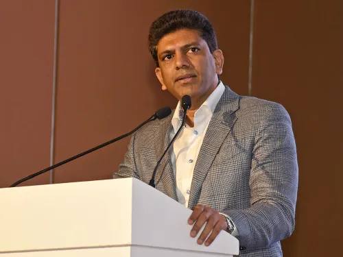
The centrally-sponsored initiative will utilize advanced technology, including aerial surveys conducted by drones and aircraft, at just 10 percent of the costs associated with traditional surveying methods, as stated by Dr. Chandra Sekhar Pemmasani, Minister of State for Rural Development and Communications.
This scheme will leverage AI, GIS, and high-accuracy equipment. It will require cooperation from states for ground-truthing and validations while the central government will provide policy, funding, and a technological framework.
The programme will unfold in five phases, beginning with a focus on 300,000 square kilometers of rural agricultural land over a two-year span, with an initial budget of Rs 3,000 crore for Phase I, the minister noted.
He also encouraged states to finalize the integration of Aadhaar numbers with Records of Rights (RoRs), a reform aimed at linking land ownership with unique digital identities, thereby reducing impersonation and ensuring that benefits such as Agristack, PM-KISAN, and crop insurance reach the right individuals.
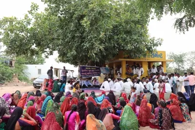
Speaking at the national workshop on survey/re-survey under the Digital India Land Records Modernization Programme (DILRMP) in Guntur, Andhra Pradesh, which was attended by senior officials from both the Centre and states, as well as experts and field practitioners, the minister emphasized that reforms like re-surveying, digitization, paperless offices, court case management, and Aadhaar integration will contribute to a comprehensive and transparent land governance ecosystem.
He remarked that when land records align with actual conditions, it unlocks the economic potential of land—enabling banks to extend credit confidently, allowing businesses to invest with assurance, and helping farmers access agricultural support.
“If we aspire for rapid highways, smart cities, secure housing, and sustainable agriculture, we must begin from the ground up—quite literally,” he added.
Despite significant advances under the DILRMP, a critical pending element—the survey and re-survey—has only been completed in 4 percent of villages thus far, as this task requires extensive administrative coordination, technological input, and public engagement, he mentioned.
“Numerous states have yet to perform map-based subdivisions or maintain spatial records in alignment with textual updates, rendering current cadastral maps obsolete. Our experience indicates that without strong political will and effective coordination, surveys lose momentum and remain incomplete,” the minister concluded.
Point of View
It is clear that there is a pressing need for accurate land records in India. This initiative could pave the way for better economic stability and transparency in land ownership, benefiting citizens and the economy at large.
NationPress
12 May 2026
Frequently Asked Questions
What is the purpose of the centralized land survey?
The centralized land survey aims to update and rectify inaccurate land records, which have been a source of disputes and hinder economic development.
How will technology be used in the land survey?
The survey will utilize advanced technologies such as drones, AI, and GIS to conduct efficient and cost-effective land assessments.
What is the estimated budget for the first phase of the survey?
The estimated budget for Phase I of the survey is Rs 3,000 crore.
Why is Aadhaar integration important for land records?
Integrating Aadhaar with land records will link ownership to unique digital identities, helping to eliminate fraud and ensure benefits reach the rightful owners.
How many villages have completed the survey so far?
As of now, the survey and re-survey have been completed in only 4 percent of villages.