Has Kerala Achieved a Milestone with Its Digital Resurvey of Over 8 Lakh Hectares?
Synopsis
Key Takeaways
- The 'Ente Bhoomi' initiative has surveyed over 8 lakh hectares.
- 334 out of 529 villages have completed the survey.
- Advanced mapping technologies are employed for accuracy.
- The project aims to resolve land disputes.
- Public cooperation has been crucial for the project's success.
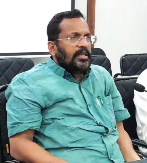
Thiruvananthapuram, Aug 30 (NationPress) Kerala's groundbreaking digital resurvey project, 'Ente Bhoomi', has marked a significant achievement by assessing over 8 lakh hectares of land spanning 58.65 lakh land parcels, as stated by the state Revenue Minister K. Rajan on Saturday.
Describing it as a remarkable accomplishment, the minister acknowledged that this progress is a result of the collaborative efforts of the revenue and survey teams.
“Out of the 529 villages where field surveys commenced, work has successfully concluded in 334. The surveys in the remaining 195 villages are advancing rapidly,” Rajan noted.
Kerala encompasses a total land area of approximately 35 lakh hectares, excluding around 7 lakh hectares designated as forest land.
The survey has currently covered nearly one-fourth of the remaining 28 lakh hectares.
“Despite resurvey efforts starting in 1966, only 911 villages had been completely resurveyed,” Rajan added.
The current government made the decision to expedite the process through modern technology and community involvement.
While Chief Minister Pinarayi Vijayan officially launched the initiative on November 1, 2022, the provision of advanced equipment was only secured by August 2023.
This project utilizes CORS technology, combined with RTK, rover units, ETS, drones, and LiDAR, enabling faster and more precise digital mapping.
The government has already released Section 9(2) notifications for the first phase, which includes 200 villages.
In the second phase involving 239 villages, 119 have reached this stage, while the third phase, initiated on February 14 of this year, has completed the process in 11 villages.
Rajan attributed the swift progress to strong public cooperation, dedicated staff, the support of local self-government institutions, representatives, and the active engagement of members from the Survey Vigilance Committee.
Upon completion, the digital survey is expected to resolve boundary disputes and promote better neighborly relations, as stated by the minister.
Expressing gratitude to everyone supporting the initiative, Rajan also extended his Onam wishes, envisioning a beautiful Kerala with precise land records for every plot and accessible digital services for all.

