

MMRDA's 31-km East-West Tunnel and Uttan–Virar Link plans reviewed by CM Fadnavis
Synopsis
Mumbai's underground road ambitions just got a major push — MMRDA has placed revised plans before CM Fadnavis for a 31-km tunnel grid linking BKC, the airport and the Bandra-Worli Sea Link, plus a sea-link corridor reaching Virar and Vadhavan. The 'Patal Lok' vision, if realised, could lift peak-hour speeds from a crawl of 15–20 km/h to 80 km/h on some of the city's most congested routes.
Key Takeaways
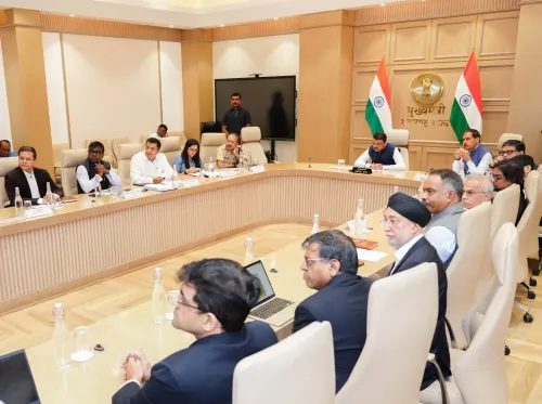
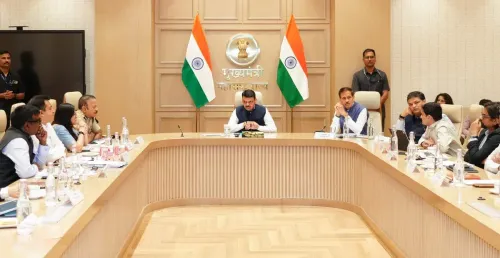
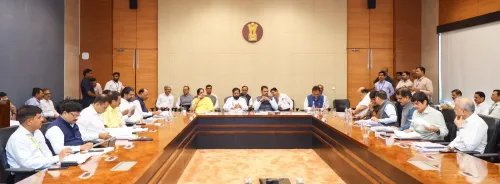
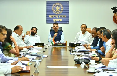
MMRDA presented revised plans to CM Devendra Fadnavis on 19 November 2026 for two major corridors.
The integrated underground road tunnel spans approximately 31 km and links the Bandra-Worli Sea Link , BKC , CSMIA Terminal 2 , and the Eastern Express Highway .
The Bhayandar/Uttan–Virar Sea Link corridor, part of the Mumbai–Vadhavan Expressway framework, had prior approval; officials reviewed two alignment options .
Nearly 60% of Mumbai's traffic currently relies on the Western Express Highway , keeping peak-hour speeds at 15–20 km/h .
The underground network aims to enable travel at up to 80 km/h and complements existing projects including Thane–Borivali and Mulund–Goregaon tunnels.
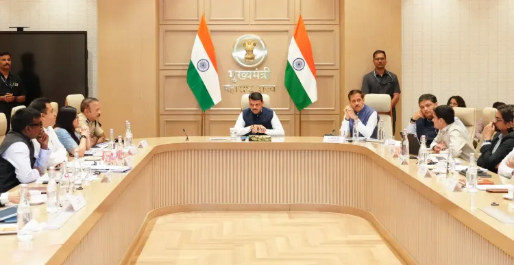
The Mumbai Metropolitan Region Development Authority (MMRDA) on 19 November 2026 presented revised blueprints to Maharashtra Chief Minister Devendra Fadnavis for two major infrastructure corridors: a 31-km integrated underground road tunnel network connecting key nodes across Mumbai, and an alignment plan for the Bhayandar/Uttan–Virar Sea Link that would create direct road connectivity between Mumbai and Vadhavan. The proposals are central to Fadnavis's 'Patal Lok' underground mobility vision for the city.
What the 31-km Tunnel Grid Covers
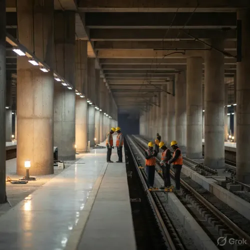
According to MMRDA's presentation, the integrated road tunnel system stretches approximately 31 km in one direction and is designed with dedicated entry and exit ramps. The network would provide direct underground connectivity between the Bandra-Worli Sea Link, the upcoming BKC Bullet Train station, Dharavi, Bandra-Kurla Complex (BKC), Chhatrapati Shivaji Maharaj International Airport Terminal 2, the Western Express Highway, and the Eastern Express Highway. Once operational, it would enable uninterrupted east-west transit while offering seamless access to BKC and the airport — two of the region's highest-traffic destinations.
Uttan–Virar Corridor and Alignment Options
The Bhayandar/Uttan–Virar Sea Link — part of the broader Mumbai–Vadhavan Expressway connectivity framework — had already received prior approval before Thursday's review. During the meeting, officials deliberated on two alternative alignment options for this corridor. The project is expected to significantly bolster the upcoming MMR Ring Road network and drastically reduce travel times along Mumbai's northern coastal stretch.
The 'Patal Lok' Vision: Speed Over Surface Roads
Chief Minister Fadnavis had earlier popularised the term 'Patal Lok' to describe his administration's vision of a parallel subterranean transport layer beneath Mumbai. He noted that nearly 60 per cent of Mumbai's vehicular traffic depends on the Western Express Highway, pushing average city speeds down to 15–20 km/h during peak hours. The proposed underground corridors aim to allow commuters to travel at speeds of up to 80 km/h, effectively tripling average throughput on key routes.
Wider Underground Network Taking Shape
The 31-km BKC–Airport–Sea Link grid is part of a larger subterranean infrastructure push that includes twin-tunnel projects such as Thane–Borivali, Mulund–Goregaon, and an underground link connecting the Eastern Freeway/Atal Setu to Girgaon Chowpatty. These corridors are designed to work in tandem with Mumbai's expanding underground Metro network, creating a multi-modal subterranean spine for the metropolitan region. This comes amid growing pressure on Mumbai's surface road infrastructure, where population density and legacy road layouts have made above-ground expansion increasingly difficult.
What Comes Next
With the revised plans now reviewed at the Chief Minister's level, the next steps are expected to involve detailed project reports, environmental clearances, and financing approvals for the corridors. The projects, if executed on schedule, would represent one of the most ambitious underground road infrastructure programmes in India's history.
Point of View
But the city has a long record of ambitious corridor announcements that stall at the land-acquisition and financing stage. The 'Patal Lok' branding is politically savvy — it frames tunnelling as transformation rather than mere maintenance — but the real test will be whether MMRDA can execute multiple simultaneous underground contracts without the cost overruns and delays that plagued earlier elevated highway projects. With the Western Express Highway already absorbing 60% of vehicular load, the urgency is genuine; the question is sequencing and delivery bandwidth, not intent.
NationPress
19 Nov 2026
Frequently Asked Questions
What is the MMRDA integrated East-West tunnel project in Mumbai?
It is a proposed underground road network spanning approximately 31 km that would connect the Bandra-Worli Sea Link, BKC, Chhatrapati Shivaji Maharaj International Airport Terminal 2, and the Eastern Express Highway. MMRDA presented revised plans for the project to Maharashtra CM Devendra Fadnavis on 19 November 2026.
What is the Uttan–Virar Sea Link and why is it significant?
The Bhayandar/Uttan–Virar Sea Link is a coastal corridor planned as part of the Mumbai–Vadhavan Expressway connectivity framework. It has already received prior approval, and officials are currently evaluating two alternative alignment options to establish direct road access between Mumbai and Vadhavan port.
What is CM Fadnavis's 'Patal Lok' vision for Mumbai?
'Patal Lok' is the phrase used by CM Devendra Fadnavis to describe a network of underground road tunnels designed to run parallel to Mumbai's congested surface highways. The goal is to enable travel speeds of up to 80 km/h underground, compared to the current peak-hour average of 15–20 km/h on the Western Express Highway.
Which other tunnel projects are part of Mumbai's underground road network?
Beyond the 31-km BKC–Airport–Sea Link grid, the broader plan includes twin-tunnel projects for Thane–Borivali and Mulund–Goregaon, as well as an underground link from the Eastern Freeway/Atal Setu to Girgaon Chowpatty. These are designed to work alongside Mumbai's expanding underground Metro lines.
How will the tunnel network affect daily commuters in Mumbai?
If completed as planned, the tunnels would offer a high-speed underground alternative on some of Mumbai's most congested routes, potentially cutting travel times significantly. With nearly 60% of city traffic currently funnelled through the Western Express Highway, the underground corridors are intended to redistribute load and bring average speeds up from 15–20 km/h to as high as 80 km/h.