Northeast monsoon arrives in Kerala; orange alert in 4 districts
Synopsis
The northeast monsoon — Kerala's 'Thulavarsham' — has arrived, and the IMD is not treating it lightly. Four districts are under an orange alert, twelve are flagged in all, and two active cyclonic circulations are amplifying the risk. With heavy rain forecast through 20 October and hilly districts on landslide watch, this onset is more than a seasonal calendar entry.
Key Takeaways
The northeast monsoon set in over Kerala on 15 October 2026 , locally called 'Thulavarsham' .
The IMD has issued an orange alert for Pathanamthitta , Kottayam , Idukki , and Ernakulam districts.
Eight more districts are under a yellow alert , including Wayanad , Kozhikode , and Thiruvananthapuram .
Winds of 40–50 kmph , thunderstorms, and lightning are forecast for Thursday and Friday .
Heavy rainfall is expected to continue through 20 October ; hilly and flood-prone areas are on high alert.
Two cyclonic circulations — over central Kerala and the Kanyakumari region — are driving the current weather pattern.
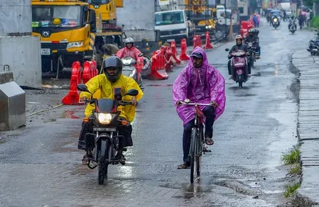
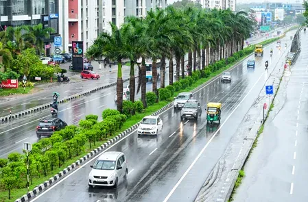
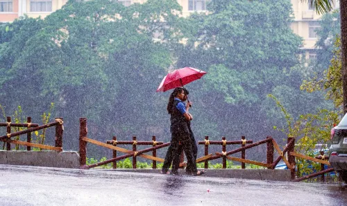
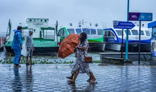
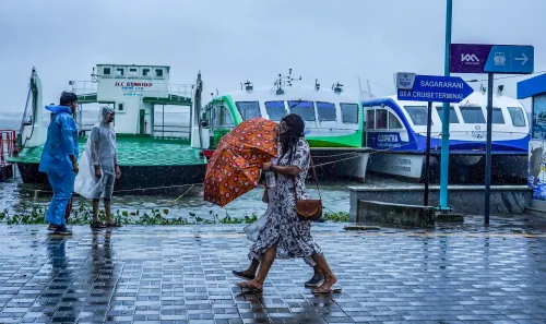
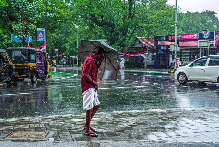
The northeast monsoon set in over Kerala on 15 October 2026, triggering widespread rainfall across the state and prompting the India Meteorological Department (IMD) to issue weather alerts for 12 districts over the coming days. The seasonal shift, locally known as 'Thulavarsham', marks the beginning of a significant wet spell expected to extend at least through 20 October.
District-Wise Alert Status
The IMD has placed Pathanamthitta, Kottayam, Idukki, and Ernakulam under an orange alert for Thursday, warning of very heavy rainfall at isolated locations. Eight additional districts — Thiruvananthapuram, Kollam, Alappuzha, Thrissur, Palakkad, Malappuram, Kozhikode, and Wayanad — are under a yellow alert.
Along with heavy rain, the forecast includes thunderstorms, lightning, and strong winds. Gusts of 40–50 kmph are likely at isolated places on Thursday and Friday, according to the weather department.
Weather Systems Driving the Spell
Two cyclonic circulations are influencing current conditions: one centred over central Kerala and its adjoining areas, and another over the Kanyakumari region. These systems, combined with the establishment of easterly and northeasterly winds over the southern peninsula, are also expected to hasten the withdrawal of the southwest monsoon from remaining parts of the country.
Notably, the convergence of an active northeast monsoon onset with persistent cyclonic circulations has amplified the rainfall potential, a pattern meteorologists say can intensify localised downpours in the Western Ghats belt.
Risk to Hilly and Flood-Prone Areas
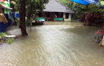
The IMD and disaster management authorities have flagged elevated risk for hilly districts vulnerable to landslides and low-lying areas prone to flash floods. Districts such as Idukki and Wayanad — which experienced severe landslide events in recent monsoon seasons — fall within the alert zone. Residents in such areas have been urged to monitor official advisories and follow instructions from local disaster management bodies.
The public has also been advised against standing in open spaces or under isolated trees during lightning activity, and to seek shelter in sturdy buildings at the first sign of a storm.
Extended Forecast and What to Expect
Heavy rainfall at isolated places is forecast to continue from 16 to 20 October, indicating the wet spell will persist well beyond the immediate weekend. The IMD has not yet issued a red alert for any district, but officials have cautioned that conditions remain dynamic and alerts could be upgraded depending on the movement of the cyclonic circulations.
With the northeast monsoon now formally established, Kerala residents should brace for a fortnight of unsettled weather — and authorities are expected to keep disaster response teams on standby through the extended rain period.
Point of View
But the simultaneous presence of two cyclonic circulations elevates this onset above a routine seasonal transition. Districts like Idukki and Wayanad — still carrying the memory of devastating landslides from recent years — find themselves in the alert zone again, raising questions about whether disaster preparedness infrastructure has kept pace with the intensifying pattern of extreme rainfall events in the Western Ghats. The IMD's extended forecast through 20 October suggests this is not a brief spell, and the absence of a red alert should not breed complacency. The real accountability test lies with district administrations: whether early warnings translate into timely evacuations and pre-positioned relief.
NationPress
15 Oct 2026
Frequently Asked Questions
When did the northeast monsoon arrive in Kerala in 2026?
The northeast monsoon set in over Kerala on 15 October 2026, according to the India Meteorological Department. This seasonal onset, known locally as 'Thulavarsham', marks the start of a significant wet spell expected to last through at least 20 October.
Which Kerala districts are under an orange alert?
Pathanamthitta, Kottayam, Idukki, and Ernakulam are under an orange alert issued by the IMD for Thursday, 16 October. The alert warns of very heavy rainfall at isolated places in these districts.
How long is heavy rain expected to continue in Kerala?
The IMD has forecast heavy rainfall at isolated places from 16 to 20 October, indicating the wet spell will extend well beyond the immediate weekend. Conditions remain dynamic and alerts may be revised.
What is causing the heavy rainfall in Kerala right now?
Two cyclonic circulations — one over central Kerala and another over the Kanyakumari region — are amplifying the northeast monsoon's impact. The establishment of easterly and northeasterly winds over the southern peninsula is also contributing to the wet conditions.
What precautions should residents in Kerala take during this weather?
Residents, especially those in hilly areas prone to landslides and low-lying zones vulnerable to flash floods, should monitor official advisories from disaster management authorities. The IMD has specifically warned against standing in open areas or under isolated trees during lightning and advised seeking shelter in sturdy buildings.