Is India’s GalaxEye Set to Launch the World’s First Multi-Sensor Earth Observation Satellite in 2026?

Synopsis
In an exciting development for space exploration, India's GalaxEye is preparing to launch the world's first multi-sensor Earth observation satellite, 'Mission Drishti,' in 2026. This groundbreaking initiative promises to revolutionize Earth observation and data accessibility for various sectors, positioning India as a key player in global satellite technology.
Key Takeaways
Mission Drishti is the world's first multi-sensor Earth observation satellite.
It weighs 160 kgs and is the highest resolution satellite built in India.
The satellite will enable near real-time Earth observation for diverse applications.
GalaxEye's constellation program aims to launch 8-12 satellites by 2029 .
The first satellite will provide a spatial resolution of 1.5 metres .
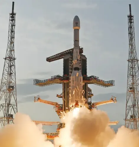
Bengaluru, Oct 13 (NationPress) The spacetech startup GalaxEye announced on Monday its ambitious plan to initiate ‘Mission Drishti’ in the first quarter of 2026, which will be the world’s first multi-sensor Earth observation satellite.
Weighing in at 160 kgs, ‘Mission Drishti’ stands as India’s largest privately-developed satellite and boasts the highest resolution ever achieved in the country.
This launch will also kick off GalaxEye’s satellite constellation project, which aims to deploy 8-12 satellites successively by 2029, with the goal of providing near real-time Earth observation for various global applications.
“With Mission Drishti, we are ushering in a new era of actionable data through space exploration. For the first time globally, we are launching a satellite that integrates multiple sensing technologies on a single platform, allowing us to observe the Earth in ways previously unattainable,” stated Suyash Singh, Co-founder and CEO of GalaxEye.
This mission positions India prominently on the global space stage and establishes a framework that transforms space technology into critical intelligence that businesses, governments, and communities can depend on, he further remarked.
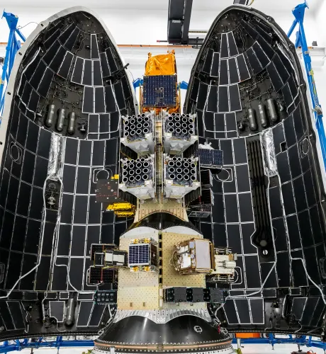
Based in Bengaluru, GalaxEye has engineered the world’s first multi-sensor Earth observation platform, equipped with synthetic aperture radar (SAR) and high-resolution optical payloads on a single satellite, enabling unparalleled Earth observation data availability in any weather and at any time of day.
This satellite will empower governments, defense agencies, and industries to conduct advanced geospatial analysis across diverse applications such as border surveillance, disaster response, defense, utilities and infrastructure monitoring, agriculture, and financial and insurance assessments—delivering real-time environmental and structural insights.
The Drishti satellite has successfully completed rigorous structural testing at ISRO’s UR Rao Satellite Centre (URSC), validating its ability to withstand the extreme conditions of space, including severe temperatures, vibrations, and vacuum.
Every satellite is designed as a remote-sensing Earth observation system, optimized for spatial, spectral, and temporal resolutions, ensuring the capture of high-precision imagery.
The initial satellite will provide a spatial resolution of 1.5 metres, meaning that each pixel in its imagery will represent a 1.5 x 1.5 metre section of the Earth's surface from an altitude of 500 km.
Point of View
I believe that the launch of GalaxEye's 'Mission Drishti' is a monumental step for India in the global space arena. This initiative embodies innovation and technological advancement, showcasing India's growing prowess in the spacetech sector. It is crucial that we continue to support such endeavors that promise to yield significant benefits for our nation and the world.
NationPress
30 Jun 2026
Frequently Asked Questions
What is 'Mission Drishti'?
'Mission Drishti' is the world's first multi-sensor Earth observation satellite being launched by India's spacetech startup, GalaxEye, in 2026.
What technologies will 'Mission Drishti' utilize?
'Mission Drishti' will incorporate synthetic aperture radar (SAR) and high-resolution optical payloads on a single platform.
What will be the resolution of the satellite imagery?
The initial satellite will achieve a spatial resolution of 1.5 metres, capturing detailed imagery of the Earth's surface.
How many satellites will be included in the constellation?
GalaxEye plans to launch 8-12 satellites successively by 2029 as part of its satellite constellation program.
What applications will benefit from this satellite?
'Mission Drishti' will support a variety of applications including border surveillance, disaster management, agriculture, and infrastructure monitoring, among others.