Is China Manipulating Maps by Renaming Maritime Features in the South China Sea?

Synopsis
A new report reveals China's aggressive map manipulation tactics in the South China Sea, renaming nearly 100 maritime features to assert dominance. This behavior highlights a shift from subtle encroachment to overt aggression, challenging regional stability and sovereignty. Explore the implications of these actions on international relations and maritime law.
Key Takeaways
China is renaming maritime features in the South China Sea to assert sovereignty.
Approximately 100 features have been renamed under Xi Jinping's initiative.
Beijing's actions are viewed as aggressive expansionism .
The Scarborough Shoal incident exemplifies China's reliance on force .
International cooperation is vital to counter Chinese coercion.
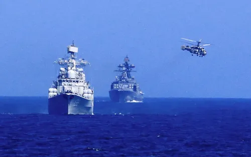
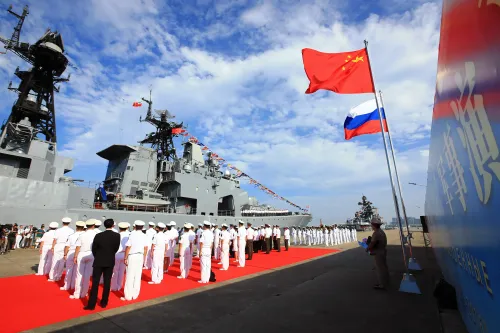
Beijing, Oct 9 (NationPress) China is undertaking a campaign of cartographic manipulation aimed at asserting its symbolic sovereignty by renaming various maritime features within the South China Sea, as reported on Thursday.
Under the leadership of President Xi Jinping, it has been revealed that China has designated and altered the names of approximately 100 geographical features in this contested region as part of a larger initiative.
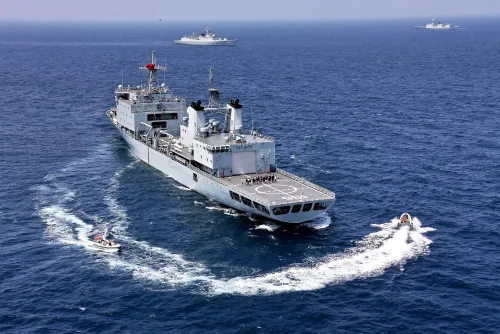
"For over a decade, Beijing has maintained an unyielding agenda in the South and East China Seas, converting these disputed waters into a bully's playground. Initially, this involved gradual encroachment through artificial islands, incremental coast guard patrols, and ambiguous grey-zone tactics, which have now escalated into overt acts of aggression," detailed a report from Maldives Insight.
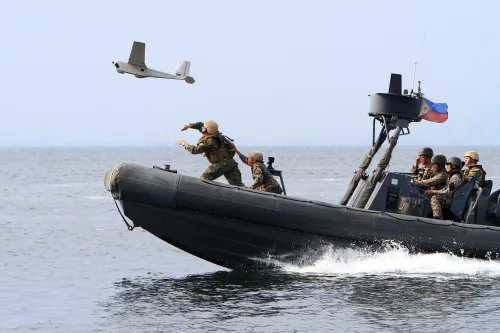
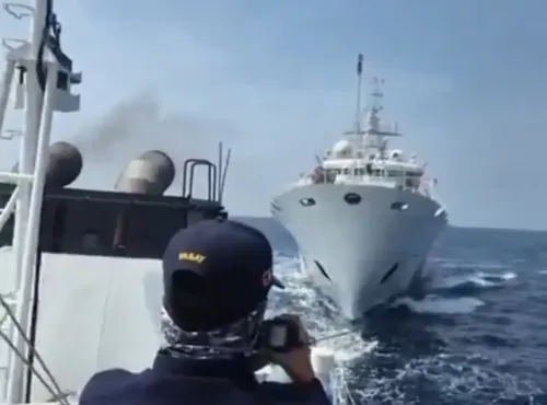
"The seemingly benign phrases from Beijing, such as 'peaceful development', 'mutual trust', and 'community of shared future for mankind', are mere attempts to mislead the global community into viewing China as a defender of its rights. Recent confrontations with Philippine vessels at Scarborough Shoal—involving water cannons, collisions, and injuries—highlight that China's actions are not defensive but rather intentionally expansionist," the report added.
As per the findings, Beijing's designation of the contested Scarborough Shoal as a protected marine area effectively limits Philippine access under the guise of conservation.
In August 2023, the Chinese Ministry of Natural Resources released a standardized cartographic map, which reinforced Beijing’s claim over the majority of the South China Sea, prominently featuring the “nine-dash line”. Notably, this map also included a new section east of Taiwan, portraying the island as part of China and extending the line to ten dashes, thereby emphasizing Beijing's claims through non-military means.
“Beijing consistently aims to redefine disputed territories as part of Chinese domestic space, normalizing coercive enforcement. Most crucially, these actions have catalyzed stakeholders to awaken from complacency and resist the tide of Chinese expansionism. China's coercive tactics have transformed regional issues into a global concern,” the report emphasized.
The report also noted that the incident at Scarborough Shoal in September showcased China's reliance on force, where the Chinese Coast Guard (CCG) employed high-pressure water cannons against Philippine supply and coast guard vessels after a collision occurred.
“These confrontations are on the rise, intensifying regional tensions. In response, the Philippines is striving to expose China's actions to reveal its victim narrative. By resorting to brute force cloaked as law enforcement, China has unveiled the emptiness of its 'peaceful rise' narrative and showcased its operational principle of 'might makes right',” the report concluded.
Point of View
It's essential to recognize the complexities surrounding China's maritime claims. While sovereignty and territorial integrity are paramount, the ongoing tensions highlight the necessity for dialogue and adherence to international law. Engaging constructively with all stakeholders is vital for maintaining peace and stability in the region.
NationPress
21 Jun 2026
Frequently Asked Questions
What is the nine-dash line?
The nine-dash line is a demarcation line used by China to assert its claims over the majority of the South China Sea, including areas that overlap with the territorial claims of several Southeast Asian nations.
How has China altered maritime features?
China has renamed and designated various geographical features in the South China Sea to reinforce its sovereignty claims, with reports indicating that around 100 features have been renamed under the leadership of President Xi Jinping.
What recent incidents have occurred at Scarborough Shoal?
Recent incidents at Scarborough Shoal include confrontations between the Chinese Coast Guard and Philippine vessels, which involved the use of water cannons and collisions, escalating tensions in the region.
Why is this issue significant?
The issue is significant as it not only affects regional stability but also challenges international maritime law and the rights of nations in contested waters, raising concerns about potential military confrontations.
What steps can be taken to address these tensions?
Engagement in diplomatic dialogue, adherence to international law, and multilateral cooperation among affected nations can help manage and resolve tensions in the South China Sea.