
What Caused the Flash Flooding in New York and New Jersey?
Synopsis
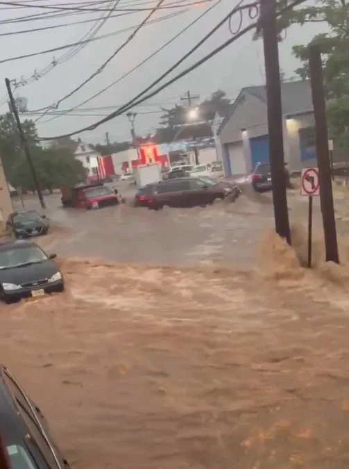
On July 15, torrential rains wreaked havoc across New York and New Jersey, leading to severe flash flooding. Emergency alerts were issued as officials prepared for worsening conditions. Stay informed and stay safe during this extreme weather event.
Key Takeaways
Torrential rains have caused severe flash flooding in New York and New Jersey.
The Governor of New Jersey declared a state of emergency .
Residents are advised to stay indoors and be prepared for evacuations .
Emergency services are actively responding to ensure public safety.
More rainfall is anticipated, with authorities on high alert.
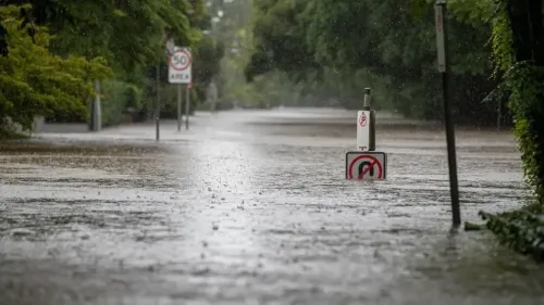
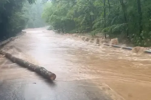
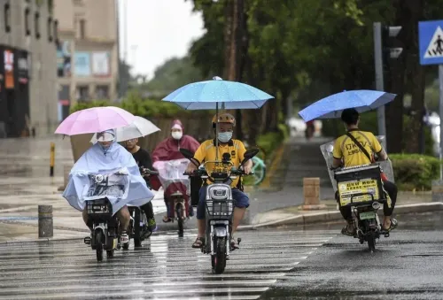
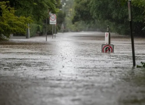
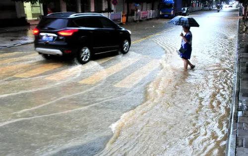
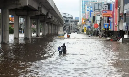
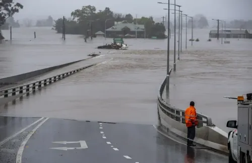
New York, July 15 (NationPress) Torrential downpours have affected regions of the Northeastern and Mid-Atlantic United States, resulting in significant flash flooding in New York City and northern New Jersey. This situation has led to emergency alerts, evacuations, and widespread disruptions.
The Governor of New Jersey, Phil Murphy, made a state of emergency declaration late Monday.
On social media platform X, he stated, "I am declaring a State of Emergency due to flash flooding and elevated rainfall in various areas of the state. Please remain indoors and avoid unnecessary travel. Stay safe, New Jersey."
The National Weather Service issued flash flood warnings for all five boroughs of New York City, as heavy rains dumped over an inch of water in locations such as Staten Island and Manhattan by early evening on Monday.
Forecasts predict continued rainfall throughout the night.
Authorities in New York City advised residents, particularly those in basement apartments, to be ready for sudden evacuations.
In an update on X, New York City Emergency Management conveyed, "If you reside in a basement unit, stay vigilant. Flash flooding can occur with little warning, even overnight."
"Keep a phone, flashlight, and emergency kit at hand. Be prepared to move to higher ground," they added.
Emergency data indicated that the Chelsea neighborhood in Manhattan recorded 1.47 inches of rainfall by 7:30 p.m., while Staten Island experienced 1.67 inches.
In neighboring New Jersey, towns like Plainfield and Metuchen were among the hardest hit.
Authorities in both New York and New Jersey remained on high alert throughout the night, monitoring flood-prone areas and warning of the possibility of worsening conditions.
More rainfall is anticipated across the cities, with emergency services deployed in affected regions to prioritize public safety and rapid response.
Point of View
It is crucial to report on the significant impacts of the recent torrential rains in New York and New Jersey. This situation highlights the importance of preparedness and swift responses during extreme weather events, ensuring the safety of residents and the effectiveness of emergency services.
NationPress
11 May 2026
Frequently Asked Questions
What areas are affected by the flash flooding?
The flash flooding has primarily affected New York City and northern New Jersey, with specific warnings issued for all five boroughs of NYC.
What should residents do to stay safe?
Residents, especially those in basement apartments, should stay indoors, remain vigilant, and keep emergency supplies ready. It's crucial to be prepared for sudden evacuations.
How much rainfall has been recorded?
By 7:30 p.m. on July 15, Chelsea in Manhattan recorded 1.47 inches, while Staten Island saw 1.67 inches of rainfall.
What measures are authorities taking?
Authorities have declared a state of emergency and are closely monitoring flood-prone areas, deploying emergency crews to ensure public safety.
How long is the rainfall expected to continue?
Forecasts indicate that rainfall is expected to persist throughout the night, contributing to the flooding situation.