Tibet-Nepal floods 2026: China's 43 vs Nepal's 1,300 death toll gap sparks data manipulation claims
Synopsis
Nepal counts over 1,300 dead. China's Tibet says 43. A glacier the size of a small mountain dissolved into the valley in seven minutes, burying a five-storey customs complex and destroying 12 hydropower projects — yet the two countries can't agree on a casualty figure by a factor of 30. Now China's own climate scientists warn it could happen again.
Key Takeaways
A glacier at 5,200 metres collapsed in August 2026 , travelling more than 100 kilometres and reaching Kyirong Port in just seven minutes .
Nepal has recorded more than 1,300 deaths ; China's Tibetan Autonomous Region has reported just 43 — a discrepancy of more than 30 times.
Several Western agencies have accused China of manipulating casualty data; Beijing has rejected the claims and reportedly acted against those who publicly challenged official figures.
China's National Climate Center senior engineer Wang Pengling warned that climate change is increasing the risk of ice avalanches, glacial lake outburst floods, and debris flows.
The China Climate Bulletin 2026 found permafrost boundary temperatures rose by 0.34°C per decade between 2004 and 2025 , undermining mountain slope stability.
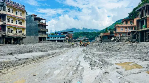
Physical damage includes a destroyed five-storey customs complex , the Friendship Bridge , roads, and at least 12 hydropower projects .
The catastrophic glacier collapse that struck the Tibet-Nepal border in August 2026 continues to generate serious questions weeks after the disaster, chiefly over the stark divergence between Nepal's officially recorded death toll and the figure released by authorities in China's Tibetan Autonomous Region (TAR). A report by Italy-based online magazine Bitter Winter has flagged this contrast as emblematic of a deeper tension between open information environments and tightly controlled state narratives.
What the Glacier Collapse Looked Like
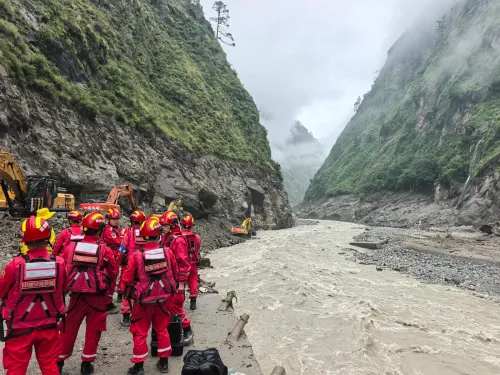
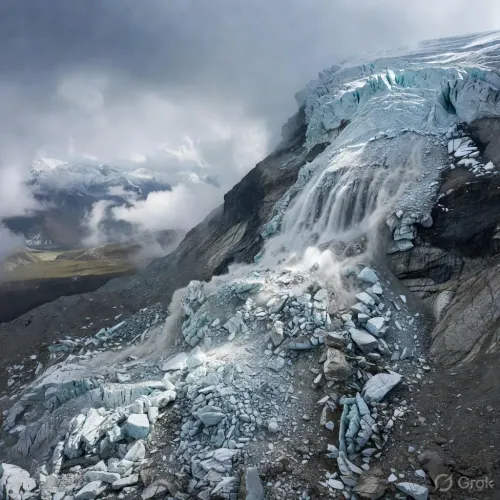
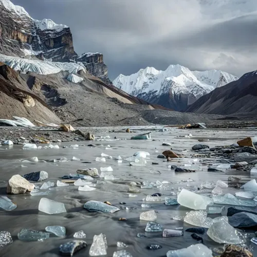
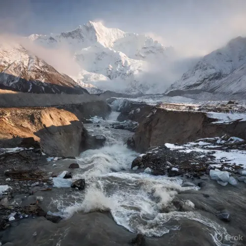
According to the Bitter Winter report, satellite imagery revealed that a massive section of a glacier at an altitude of 5,200 metres broke away from the mountain and surged down the valley for more than 100 kilometres, accumulating rock, ice, mud, and sediment along its path. The glacier reportedly reached Kyirong Port on the border in just seven minutes, before continuing its destructive course downstream into Nepal.
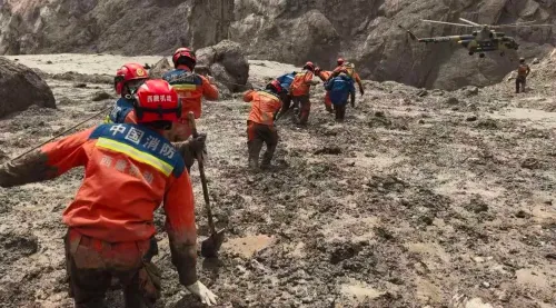
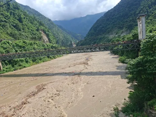
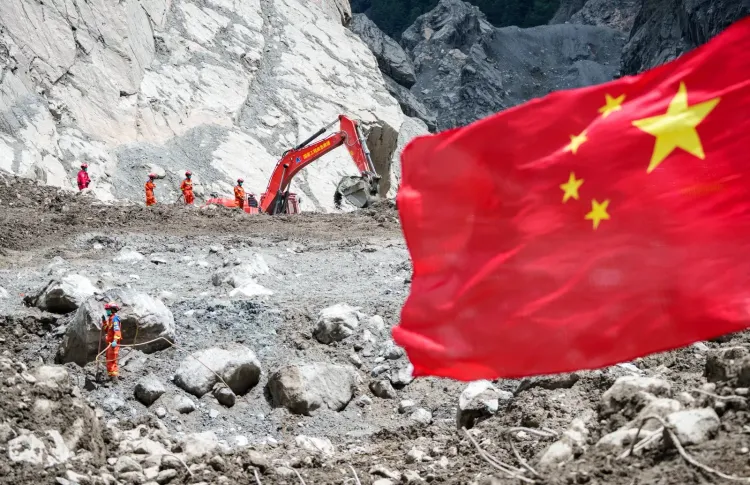
The scale of physical destruction was immense. The report states that a five-storey Chinese customs and immigration complex was entirely buried under mud. Roads, at least 12 hydropower projects, communication networks, and multiple bridges — including the Friendship Bridge on the Tibet-Nepal border — were all destroyed.
The Death Toll Discrepancy
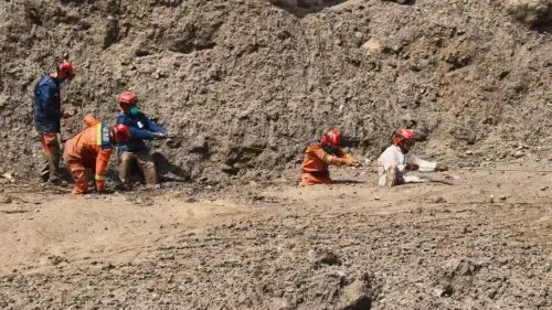
The sharpest point of contention is the casualty count. Nepal has recorded more than 1,300 deaths, with rescuers still reportedly recovering people trapped under mud and debris weeks after the event. By contrast, authorities in the Tibetan Autonomous Region have put the death toll at just 43.
Several Western agencies have accused China of manipulating data to understate the true scale of casualties, according to the report. Beijing has rejected those allegations and has reportedly taken action against individuals accused of exaggerating the toll or publicly challenging official figures. However, according to Bitter Winter, no satisfactory explanation has been offered for the conflicting numbers.
Climate Scientists Warn of Repeat Events
Beyond the immediate tragedy, the report raises an urgent forward-looking question: could a disaster of this scale happen again in the near future? The answer, according to Chinese state-run sources cited in the report, is a sobering yes.
Wang Pengling, a senior engineer at China's National Climate Center, was cited by Tibet Online and subsequently by China Daily — both state-run media outlets — as acknowledging that climate change is actively destabilising high-mountain environments. Wang said these changes 'can affect the stability of the cryosphere in various ways, increasing the risk of hazards such as ice avalanches, glacial lake outburst floods, and glacier-related debris flows.'
Notably, this acknowledgement of systemic climate risk comes from within official Chinese scientific channels, even as Beijing disputes the casualty figures associated with one of the most visible recent consequences of that risk.
Permafrost Degradation: The Data Behind the Risk
The Bitter Winter report also cited figures from the China Climate Bulletin 2026, covering the period from 2004 to 2025, which showed that temperatures at the upper boundary of permafrost rose by an average of 0.34°C per decade. Rising temperatures are reportedly degrading permafrost — the frozen ground and rock that stabilise mountain slopes — thereby increasing the likelihood of future cascading hazards across the Himalayan and Tibetan plateau regions.
What Comes Next
The Tibet-Nepal border disaster sits at the intersection of geopolitics, climate science, and transparency. With cross-border infrastructure including the Friendship Bridge destroyed and at least 12 hydropower projects damaged on the Chinese side alone, the reconstruction challenge is significant. More critically, with permafrost temperatures rising and glacial instability increasing, independent monitoring of high-altitude hazard zones — particularly in areas where information flow is restricted — will be essential to prevent the next tragedy from being compounded by a data blackout.
Point of View
300+ deaths and China's official TAR figure of 43 is not a statistical curiosity — it is a governance stress test with real consequences for disaster preparedness across one of the world's most hazard-prone mountain corridors. What makes this particularly pointed is that Beijing's own climate scientists, speaking through state media, are simultaneously acknowledging that events like this will recur and intensify. A government cannot credibly claim both that the last disaster was minor and that the underlying conditions are worsening. The deeper issue is that in a region where glacial hazards transcend borders, opaque casualty reporting obstructs shared early-warning systems and cross-border emergency response — potentially costing lives the next time a glacier breaks loose at 5,200 metres.
NationPress
3 Oct 2026
Frequently Asked Questions
What caused the Tibet-Nepal border flood in August 2026?
A massive section of a glacier at an altitude of 5,200 metres broke off the mountain and surged more than 100 kilometres down the valley, collecting rock, ice, mud, and sediment. It reached Kyirong Port on the Tibet-Nepal border in just seven minutes before continuing downstream into Nepal, causing widespread destruction.
Why is there such a large difference in death tolls between Nepal and China?
Nepal has reported more than 1,300 deaths from the disaster, while authorities in China's Tibetan Autonomous Region have put the figure at only 43. Several Western agencies have accused China of manipulating data to understate casualties, though Beijing has rejected those allegations. No satisfactory official explanation for the discrepancy has been provided, according to a report by Bitter Winter magazine.
What infrastructure was destroyed by the Tibet-Nepal glacier flood?
The disaster destroyed a five-storey Chinese customs and immigration complex, the Friendship Bridge on the Tibet-Nepal border, multiple roads, communication networks, and at least 12 hydropower projects on the Chinese side, according to the Bitter Winter report citing satellite imagery.
Are scientists warning of future glacier disasters in the Tibet-Nepal region?
Yes. Wang Pengling, a senior engineer at China's National Climate Center, cited by state-run Tibet Online and China Daily, warned that climate change is destabilising high-mountain environments and raising the risk of ice avalanches, glacial lake outburst floods, and glacier-related debris flows. Data from the China Climate Bulletin 2026 shows permafrost boundary temperatures rose by 0.34°C per decade from 2004 to 2025.
What is Bitter Winter and why is it significant here?
Bitter Winter is an Italy-based online magazine that monitors religious freedom and human rights in China. Its report on the Tibet-Nepal flood draws on satellite imagery and Chinese state-media sources to highlight the discrepancy in casualty figures and the climate risks acknowledged by Beijing's own scientists, making it a notable source for cross-referencing official Chinese data.