Has India Achieved 99.79% Digitisation of Land Records?

Synopsis
With 99.79 percent of land records digitized, India is transforming its agricultural landscape. This initiative promises greater transparency and efficiency in land governance, as highlighted by Minister Pemmasani Chandra Sekhar. Discover how this digital revolution will benefit farmers and reduce land disputes across the nation.
Key Takeaways
99.79% digitization of land records completed.
Supports Digital India initiative.
Facilitates faster case resolutions in courts.
Addresses linguistic barriers in land governance.
Georeferencing enhances agricultural data accuracy.
New Delhi, Aug 2 (NationPress) The completion of 99.79 percent of the nation's existing land records has been achieved, as stated by the government.
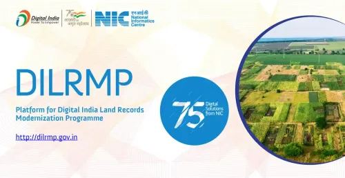
The digitization of land records is crucial for the evolution of agriculture. Through the Digital India Land Records Modernization Programme (DILRMP), the Department of Land Records is assisting states in digitizing the Record of Rights (RoR) and spatial records, including Cadastre Maps, while ensuring they are updated dynamically.
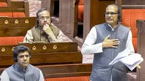
The ongoing integration of digitized land records with agricultural initiatives, such as crop surveys and the Agri Stack, is anticipated to boost transparency, efficiency, and evidence-based policy making in the agricultural domain, remarked Minister of State for Rural Development, Pemmasani Chandra Sekhar, during a parliamentary session.
To provide authentic firsthand information to courts for faster case resolution and a reduction in land disputes, a pilot project linking eCourts with land records was successfully carried out in three states: Haryana, Maharashtra, and Uttar Pradesh, in collaboration with the Department of Justice.
“So far, 26 states/UTs have obtained the necessary approvals from the relevant High Courts for the integration of e-courts Application Software with land records,” the minister added.
To overcome linguistic challenges in land governance, the Department of Land Resources, with technical assistance from the Centre for Development of Advanced Computing (C-DAC) in Pune, has initiated a project to transliterate Records of Rights available in local languages into any of the 22 Schedule VIII languages of the Constitution.
“As of now, 17 states/UTs including Assam, Bihar, Chandigarh, Chhattisgarh, Goa, Maharashtra, Madhya Pradesh, Manipur, Odisha, Gujarat, Haryana, Karnataka, Puducherry, Uttar Pradesh, Tripura, West Bengal, and the UT of Jammu & Kashmir have implemented systems enabled with transliteration software,” the minister informed.
Numerous states have also begun georeferencing Cadastral Maps, allowing precise location mapping of each agricultural plot across India. These georeferenced maps are utilized in initiatives like the Digital Crop Survey, where crop-related data is collected directly from the boundaries of agricultural plots by surveyors.
Point of View
This digitization initiative is a significant step towards modernizing land governance in India. It not only promises to enhance transparency but also aims to empower farmers and reduce long-standing disputes. As India embraces technology, the focus should remain on ensuring equitable access and benefits for all stakeholders involved.
NationPress
22 Jul 2026
Frequently Asked Questions
What percentage of land records have been digitized in India?
India has successfully digitized 99.79 percent of its existing land records as of now.
What is the purpose of the Digital India Land Records Modernization Programme?
The program aims to assist states in digitizing land records, including Record of Rights and Cadastral Maps, to improve transparency and efficiency in land governance.
How does digitization benefit the agricultural sector?
Digitization enhances transparency, improves efficiency, and supports evidence-based policy making, ultimately benefiting farmers and the agricultural industry.
Which states have implemented transliteration software for land records?
Currently, 17 states/UTs , including Assam, Bihar, and Maharashtra, have systems enabled with transliteration software to facilitate access to land records in local languages.
What is the significance of georeferencing Cadastral Maps?
Georeferencing allows precise mapping of agricultural plots, which is crucial for conducting accurate crop surveys and improving data collection.