Assam CMO: Bathymetric Survey Conducted at Banpurai Jamuguri
Synopsis
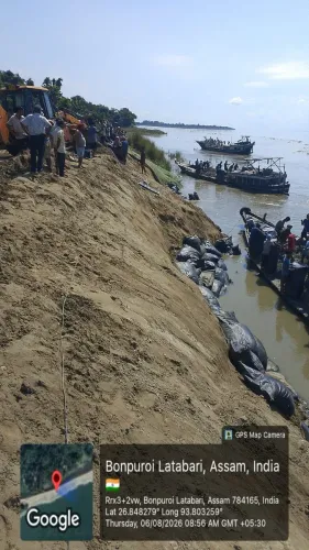
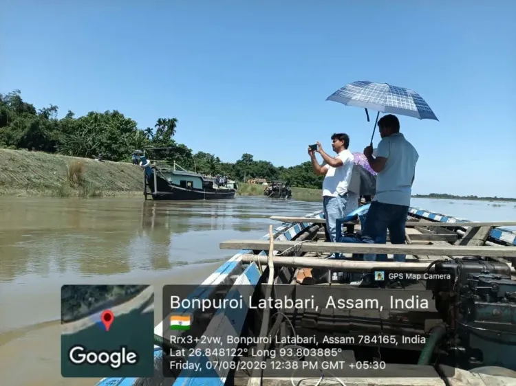
The Chief Minister's Office of Assam announced a bathymetric survey at Banpurai Jamuguri on 7 August 2026, part of the state's active post-flood restoration drive. The survey maps riverbed changes to guide dredging and embankment repairs, with rehabilitation of flood-affected residents as the end goal.
Key Takeaways
A bathymetric survey was conducted at Banpurai Jamuguri on 7 August 2026 as part of ongoing restoration efforts.
The survey was confirmed by the Chief Minister's Office of Assam via an official update.
Bathymetric surveys map underwater riverbed topography, providing data essential for dredging and embankment repair planning.
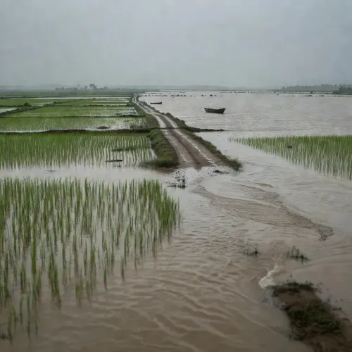
Assam faces recurrent monsoon flooding and riverbank erosion driven by the Brahmaputra river system.
Restoration works are described as continuing, with a stated aim of 'timely rehabilitation' for affected residents.
The next key milestones are the release of survey findings and any tenders for follow-on remediation works.
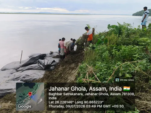
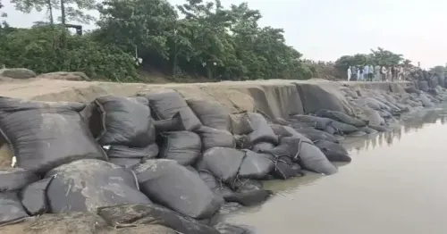
A technical survey of the riverbed is now underway at Banpurai Jamuguri — a sign that Assam's post-flood restoration machinery is moving. The Chief Minister's Office of Assam confirmed on Friday, 7 August 2026 that a bathymetric survey was conducted at the site as part of ongoing recovery operations.
What a bathymetric survey actually does
Bathymetric surveys map the underwater topography of a riverbed — measuring depth, sediment buildup, and channel shifts that are invisible from the surface. In flood-prone Assam, where the Brahmaputra and its tributaries routinely scour embankments and reshape riverbeds during the monsoon, this kind of data is the essential first step before any dredging or embankment repair can be designed. Without it, engineers are working blind.Assam's recurring flood-restoration cycle
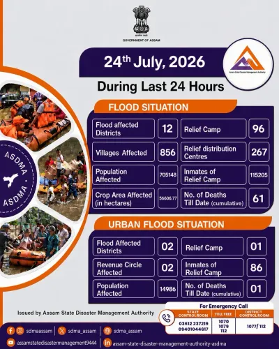
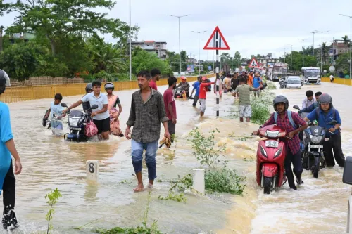
Assam's northeastern geography makes it one of India's most flood-vulnerable states. Every monsoon season, rising waters damage embankments, submerge farmland, and displace communities across the Brahmaputra valley. State authorities have established a standard post-flood cycle: technical surveys first, then tenders for dredging or structural repair, then rehabilitation of affected residents. The survey at Banpurai Jamuguri places this site squarely within that cycle. The CMO's statement that 'restoration works are continuing to expedite recovery and ensure timely rehabilitation' signals the state is in active execution mode, not the planning phase.What comes next at the site
The release of the survey findings will determine the scope and scale of the remediation works — whether the riverbed requires dredging, whether embankments need reinforcement, and what the realistic timelines look like. Flood-affected residents in the area will be watching for those tenders and timelines, which represent the tangible downstream consequence of today's technical work. A survey is not a solution — but in Assam's battle against an unpredictable river system, it is where every solution begins.Point of View
The speed of the post-flood survey-to-repair cycle is a recurring political pressure point. Timely publication of survey results and swift tendering for remediation works will determine whether this update translates into visible ground-level change. The pattern of bathymetric surveys followed by delayed tenders has historically drawn criticism; the CMO's framing of 'expedite recovery' suggests awareness of that pressure.
NationPress
22 Sept 2026
Frequently Asked Questions
What is a bathymetric survey and why is it done in Assam?
A bathymetric survey maps the depth and topography of a riverbed. In Assam, such surveys are conducted after floods to assess how much the riverbed has shifted, which informs decisions on dredging and embankment repair along flood-prone rivers like the Brahmaputra.
Where is Banpurai Jamuguri?
Banpurai Jamuguri is a location in Assam, northeastern India. Specific geographic coordinates are not confirmed in official public records, but it lies within Assam's flood-affected river corridor.
What happens after a bathymetric survey in Assam?
After the survey data is analysed, state authorities typically issue tenders for dredging or embankment reinforcement works. The findings also guide timelines for rehabilitating flood-affected residents in the area.
How often does Assam face flood-related restoration work?
Assam experiences flooding almost every monsoon season due to the Brahmaputra and its tributaries. Post-flood restoration surveys and repair cycles are a recurring feature of the state government's annual disaster management calendar.
What did the Assam CMO announce on 7 August 2026?
The Chief Minister's Office of Assam announced that a bathymetric survey was conducted at Banpurai Jamuguri as part of ongoing restoration efforts, with works continuing to expedite recovery and ensure timely rehabilitation of affected communities.