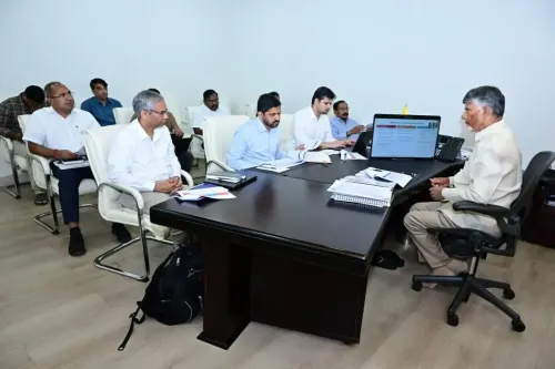
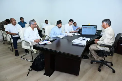
CM Chandrababu monitors Cyclone Arnab impact via CCTV from Secretariat
Synopsis
Chief Minister Nara Chandrababu Naidu monitored Cyclone Arnab's impact across Andhra Pradesh via real-time CCTV feeds from the Secretariat on October 28, ordering instant road clearance on national highways and directing officials to resolve citizen complaints through the Manamitra app.
Key Takeaways
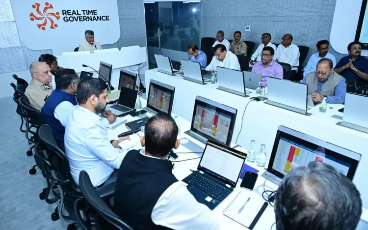
CM Nara Chandrababu Naidu monitored cyclone-affected districts live via CCTV cameras from the RTGS centre at the Andhra Pradesh Secretariat on October 28, 2026 .
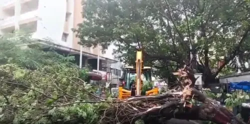
He issued direct orders to clear fallen trees from national highways and other roads to restore the transport network without delay.
The state's Manamitra app is being used as a real-time grievance channel, routing public complaints to relevant officials for immediate resolution during the cyclone crisis.
Officials confirmed complaints received via the app are being addressed on priority and progress is being reported back to the Chief Minister.
Andhra Pradesh's roughly 974-km Bay of Bengal coastline makes it one of India's most cyclone-vulnerable states, driving investment in real-time monitoring infrastructure.
The response framework mirrors the rapid road-clearance protocol deployed after Cyclone Hudhud in 2014 .
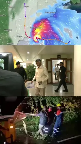
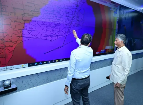
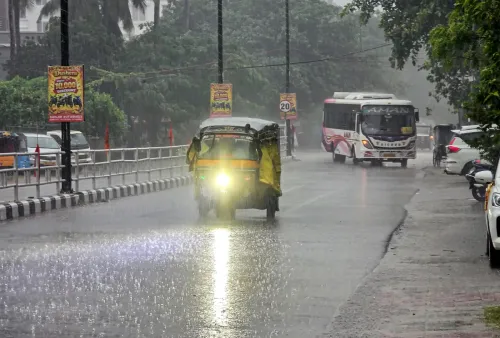
With Cyclone Arnab battering coastal Andhra Pradesh, Chief Minister Nara Chandrababu Naidu took up a real-time command post inside the RTGS hall at the Secretariat on Wednesday, October 28, scanning CCTV feeds from affected districts and directing immediate road-clearance operations — a hands-on posture that signals just how seriously the state is treating this storm.
Eyes on every district: CCTV surveillance from the Secretariat
The Chief Minister's Office confirmed that CM Naidu monitored ground conditions across cyclone-hit districts through closed-circuit cameras linked to the RTGS centre inside the Andhra Pradesh Secretariat. This live feed allowed him to assess real-time damage without waiting for district-level reports to filter up through the bureaucratic chain — cutting hours off the response cycle.
Officials briefed the Chief Minister that complaints flowing in through the state's Manamitra app were being routed instantly to the relevant authorities and resolved on priority. The app, a flagship e-governance tool of the Andhra Pradesh government, functions as a direct citizen-to-administration hotline — residents log problems, officers get pinged, and resolution is tracked end-to-end.
Clear the roads first: Naidu's standing order on fallen trees
The CM's most urgent directive was unambiguous: any trees felled across national highways or other roads must be cleared without delay to restore the transport network. Cyclone-triggered debris blockages on arterial roads can strand relief convoys, isolate villages, and paralyse supply chains within hours — making road clearance the single fastest lever to reduce human suffering after a storm makes landfall.
The instruction echoes the playbook Naidu's administration honed after Cyclone Hudhud in 2014, when rapid debris clearance on key corridors was credited with accelerating relief delivery to Visakhapatnam and surrounding districts. That institutional memory appears to be driving the current response framework.
Andhra's cyclone geography and why speed matters
Andhra Pradesh holds one of India's longest coastlines — roughly 974 kilometres — along the Bay of Bengal, a breeding ground for violent cyclonic systems, particularly between October and December. Successive governments have invested in early-warning systems, CCTV grids, and mobile platforms precisely because the window between a storm's landfall and its deepest humanitarian impact is brutally short.
The combination of real-time CCTV surveillance, a citizen grievance app, and direct CM-level oversight represents the state's current best answer to that narrow window. Whether the on-ground response matches the command-room ambition will be measured in the damage assessments and relief distribution updates expected over the next 24 to 48 hours.
For the people in Cyclone Arnab's path right now, the speed of that answer is everything.
Point of View
A posture he has cultivated since the Hudhud era. The Manamitra app integration into disaster response is the more structurally significant detail: it transforms passive citizens into active data nodes, giving administrators a granular, real-time picture of where the network is failing. Andhra Pradesh's repeated cyclone exposure has effectively turned the state into a laboratory for tech-assisted disaster governance, and this episode will be watched by other coastal states calibrating their own frameworks. The true test, however, is always the last mile — whether the app-routed complaints actually translate into cleared roads and restored power before the relief window closes.
NationPress
28 Oct 2026
Frequently Asked Questions
What is Cyclone Arnab and which areas of Andhra Pradesh did it affect?
Cyclone Arnab is the storm system that struck Andhra Pradesh around October 28, 2026 , prompting the state government to activate emergency monitoring. Specific district-level impact details are being assessed in real time by state authorities.
What is the Manamitra app used for in Andhra Pradesh?
The Manamitra app is an Andhra Pradesh government grievance redressal platform that allows citizens to log complaints directly, which are then routed to relevant officials for resolution. It has been activated as a key complaint-management tool during the Cyclone Arnab emergency.
How did CM Chandrababu Naidu monitor the cyclone situation?
CM Nara Chandrababu Naidu monitored the cyclone's impact from the RTGS hall at the Andhra Pradesh Secretariat , using live CCTV camera feeds covering districts hit by Cyclone Arnab.
What orders did CM Naidu give during the Cyclone Arnab review?
The Chief Minister directed officials to immediately remove fallen trees blocking national highways and other roads to restore transport connectivity, and ensured that citizen complaints through the Manamitra app were being resolved without delay.
Why is Andhra Pradesh so frequently affected by cyclones?
Andhra Pradesh has a coastline of approximately 974 kilometres along the Bay of Bengal , which generates intense cyclonic storms — especially between October and December — making the state one of India's most cyclone-vulnerable regions.