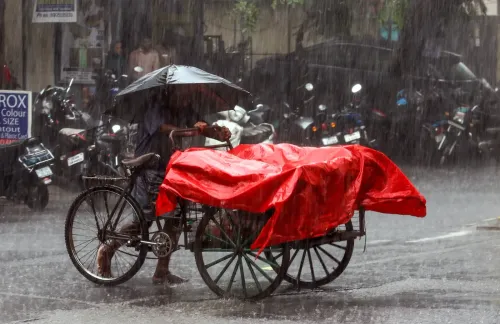


Cyclone Murasu crosses Andhra Pradesh coast with 120 kmph winds, heavy rain batters south
Synopsis
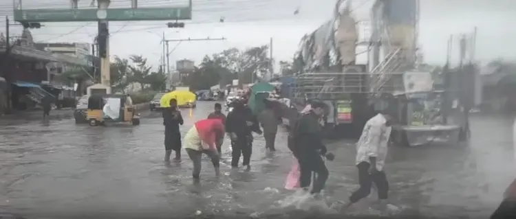
Cyclone Murasu made landfall on Andhra Pradesh's south coast in the dead of Tuesday morning, battering districts from Nellore to West Godavari with wind gusts up to 120 kmph and rainfall topping 198 mm in some locations. Though weakening through the day, the storm's inland track keeps heavy-rain alerts active across eight districts — and river-delta communities remain on edge.
Key Takeaways
Severe cyclonic storm Murasu crossed the Andhra Pradesh coast between Nellore and Narasapur between 3:30 am and 5:30 am IST on 3 November 2026 .
Landfall wind speeds reached 100–110 kmph , gusting to 120 kmph .
Naguluppalapadu in Prakasam district recorded the highest rainfall of 198.01 mm in the 24-hour period ending Tuesday morning.
The storm is forecast to weaken into a deep depression with winds of 55–65 kmph by midnight on 3 November .
Extremely heavy rain alerts are active for Bapatla, Guntur, Krishna, Palnadu, NTR, Eluru , and West Godavari districts.
Residents can reach the 'Mana Mithra' emergency helpline at 9552300009 round the clock.
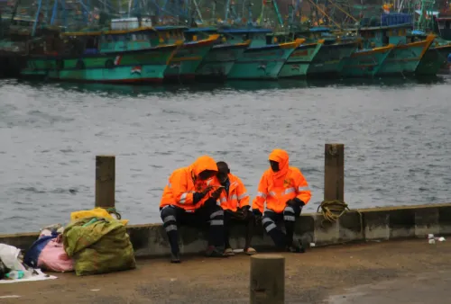
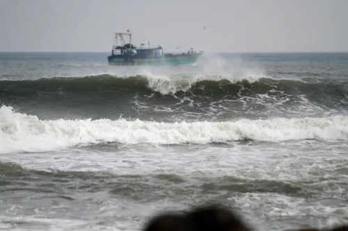
Severe cyclonic storm Murasu crossed the south Andhra Pradesh coast between Nellore and Narasapur in the early hours of Tuesday, 3 November 2026, unleashing heavy rain and gusty winds across the region. According to the India Meteorological Department (IMD), the storm made landfall between 3:30 am and 5:30 am IST with wind speeds of 100–110 kmph, gusting up to 120 kmph.
Track and Intensity
By 5:30 am, the storm's centre lay over south coastal Andhra Pradesh, near Ongole — approximately 40 km southwest of Bapatla, 80 km north-northeast of Kavali, and 120 km from Machilipatnam. The IMD projected the system to move north-northwestwards, weakening into a cyclonic storm with winds of 80–90 kmph gusting to 100 kmph by noon, and further into a deep depression with winds of 55–65 kmph gusting to 75 kmph by midnight. The storm is under continuous surveillance by Doppler Weather Radars stationed at Machilipatnam and Visakhapatnam.
Rainfall Records Across Affected Districts
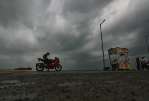
Cyclone Murasu triggered heavy rain across south coastal Andhra Pradesh from Monday onwards. According to the Andhra Pradesh State Disaster Management Authority (APSDMA), Naguluppalapadu in Prakasam district recorded the highest rainfall of 198.01 mm between 8:30 am on Monday and 6 am on Tuesday. Kothapatnam logged 182.25 mm, while Bapatla received 128.53 mm.
Other significant readings included Chirala at 124.10 mm, Throvagunta in Prakasam district at 116.93 mm, Ongole Urban at 106.97 mm, and Chilakapadu at 104.50 mm.
Districts on High Alert
The IMD has forecast widespread heavy to very heavy rainfall, with isolated extremely heavy spells, over Bapatla, Guntur, Krishna, Palnadu, NTR, Eluru, and West Godavari districts on Tuesday. Widespread moderate to isolated heavy rainfall is expected over East Godavari, Polavaram, Kakinada, Konaseema, Prakasam, and Markapuram districts. Authorities have urged residents in these areas to exercise caution.
Government Response and Advisories
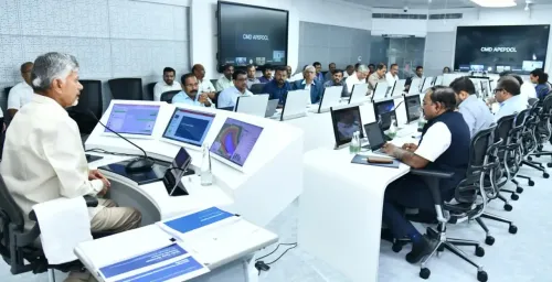
The Real-Time Governance Society (RTGS) Centre and the APSDMA are continuously monitoring the unfolding situation. Prakhar Jain, Managing Director of SDMA and CEO of RTGS, has urged residents to remain on high alert, directing them to report any emergencies through the 'Mana Mithra' helpline at 9552300009, available round the clock.
Transport Minister Mandipalli Ramprasad Reddy on Tuesday directed RTC and Transport Department officials to prioritise passenger safety in cyclone-affected zones. He instructed officials to monitor road and weather conditions continuously, suspend bus services where necessary in areas experiencing heavy rain and strong winds, and restrict operations to verified safe routes only.
What Comes Next
With the system expected to weaken progressively through the day, immediate concerns centre on flooding, waterlogging, and disrupted surface transport across coastal and inland districts. The APSDMA and district administrations are expected to issue further advisories as the storm tracks inland. Communities along the Krishna and Godavari river deltas remain particularly vulnerable to sustained heavy rainfall even as wind intensity diminishes.
Point of View
And the risk now shifts from wind damage to inland flooding as the system weakens but retains moisture. State authorities have activated the right channels, but the true test will be in the delta districts along the Krishna and Godavari, where even a weakened depression can back up river levels dangerously. Helpline visibility and last-mile communication in rural pockets will determine whether Murasu becomes a managed event or a humanitarian footnote.
NationPress
3 Nov 2026
Frequently Asked Questions
Where did Cyclone Murasu make landfall?
Cyclone Murasu crossed the south Andhra Pradesh coast between Nellore and Narasapur between 3:30 am and 5:30 am IST on 3 November 2026. By 5:30 am the storm's centre was near Ongole, about 40 km southwest of Bapatla.
What wind speeds did Cyclone Murasu bring?
At landfall, the severe cyclonic storm carried sustained wind speeds of 100–110 kmph, gusting up to 120 kmph. The IMD expects these to ease to 80–90 kmph by noon and 55–65 kmph by midnight as the system weakens.
Which districts in Andhra Pradesh face the heaviest rain?
Bapatla, Guntur, Krishna, Palnadu, NTR, Eluru, and West Godavari districts are under warnings for widespread heavy to very heavy rainfall with isolated extremely heavy spells. East Godavari, Kakinada, Konaseema, Prakasam, and Markapuram face moderate to heavy rain.
How can residents report cyclone-related emergencies?
Residents can contact the 'Mana Mithra' helpline at 9552300009, which is operational round the clock. The helpline is managed by the RTGS Centre and the Andhra Pradesh State Disaster Management Authority.
Will bus and transport services be affected by Cyclone Murasu?
Transport Minister Mandipalli Ramprasad Reddy has directed RTC and Transport Department officials to suspend bus services in areas experiencing heavy rain and strong winds if safety is at risk. Services are to operate only on verified safe routes until conditions improve.