Will Heavy Rain Impact Northern and Western TN?
Synopsis
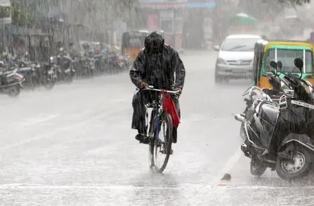
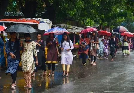
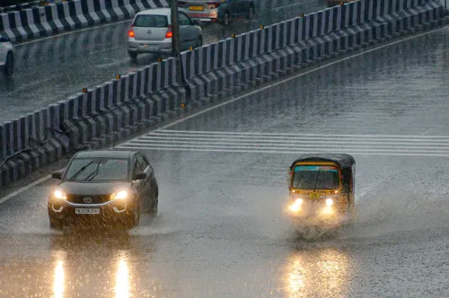
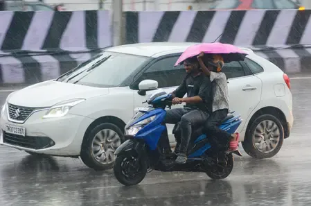
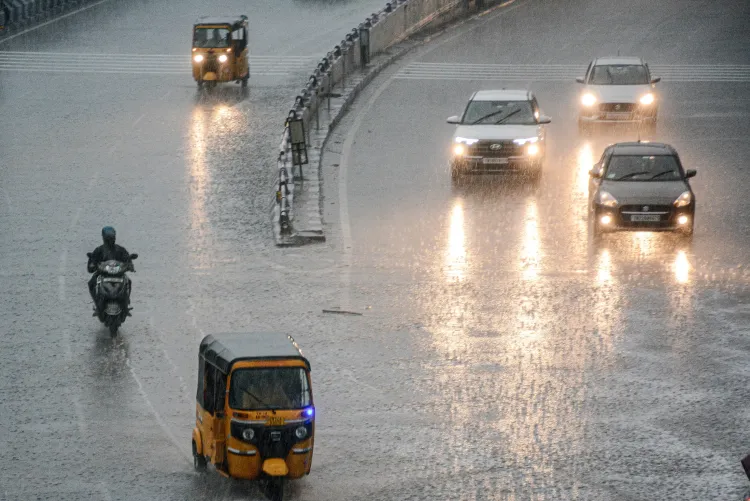
As Tamil Nadu braces for heavy rainfall this Thursday due to two low-pressure systems, residents are advised to stay cautious. With potential thunderstorms and strong winds, this weather event poses risks for fishermen and vulnerable coastal areas. Stay informed and safe as the situation unfolds.
Key Takeaways
Heavy rainfall is expected across Tamil Nadu on Thursday.
Two low-pressure systems are forming, affecting moisture flow.
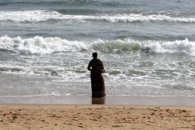
Fishermen should stay ashore due to strong winds .
Local administrations are urged to ensure safety protocols are followed.
Isolated heavy rainfall may persist in the Nilgiris and Western Ghats.
Chennai, Oct 9 (NationPress) The India Meteorological Department (IMD) has predicted significant rainfall across various regions of Tamil Nadu this Thursday, due to the emergence of two low-pressure systems: one located over the southern peninsular area and the other over the Kanyakumari Sea.
As per the latest bulletin from the IMD, districts such as Coimbatore (particularly the hilly areas), Nilgiris, Erode, Dharmapuri, Krishnagiri, Tirupattur, Vellore, Ranipet, Kancheepuram, and Tiruvallur are likely to see heavy rain, especially in their ghat and elevated zones.
Thunderstorms with lightning are anticipated in certain areas. In Chennai and its surroundings, the weather is expected to remain partly cloudy throughout the day. Light to moderate rainfall, occasionally with thunder and lightning, may occur in parts of the city. The maximum temperature is projected to be around 34–35 degrees Celsius, while the minimum could range from 26–27 degrees Celsius.
Meteorologists have indicated that the dual low-pressure systems are enhancing moisture movement and wind convergence across the southern peninsula, leading to increased rainfall activity in both interior and coastal districts.
Additionally, the IMD has issued a warning for fishermen, advising against venturing into the sea due to strong winds affecting multiple maritime zones. Gusty winds are expected to reach speeds of 35-45 kmph, and may occasionally peak at 55 kmph over the southern Tamil Nadu coast, the Gulf of Mannar, adjacent Kanyakumari Sea, parts of the east-central and nearby west-central Arabian Sea, along the Karnataka-Kerala coast, and around the Lakshadweep Islands.
Fishermen currently at sea have been urged to return to safe harbors as soon as possible.
The department has called on local authorities in at-risk coastal areas to remain vigilant and ensure that safety measures are implemented, particularly in regions vulnerable to landslides or flash floods.
The IMD stated that while the intensity of rainfall is expected to gradually lessen from Thursday onward, isolated heavy showers may continue in the Nilgiris and Western Ghats region for the next 24 hours.
Point of View
It is crucial to convey that the safety of our citizens is paramount. The IMD's warnings should be taken seriously, especially in vulnerable coastal regions. Awareness and preparedness can mitigate risks during such weather events, emphasizing the importance of community readiness and adherence to safety protocols.
NationPress
5 Jul 2026
Frequently Asked Questions
What areas in Tamil Nadu are expected to experience heavy rain?
The IMD has predicted heavy rainfall in districts such as Coimbatore, Nilgiris, Erode, Dharmapuri, Krishnagiri, Tirupattur, Vellore, Ranipet, Kancheepuram, and Tiruvallur.
What precautions should fishermen take during this weather forecast?
Fishermen are advised not to venture into the sea due to strong winds and should return to safe harbors if they are already out at sea.
How will the weather affect Chennai?
Chennai is expected to remain partly cloudy with light to moderate rainfall, accompanied by thunder and lightning in some areas.