IMD warns heavy rain in Telangana as Bay of Bengal low likely to deepen
Synopsis
A Bay of Bengal low-pressure area is on course to deepen into a full depression by Tuesday, triggering heavy to very heavy rainfall warnings across more than a dozen Telangana districts by 24 September. With winds forecast at 50–60 kmph and Kollapur already recording 13.9 cm in a single day, this is the most significant weather alert for the state this week.
Key Takeaways
The IMD issued a heavy rain warning for several Telangana districts on 20 September 2026 , effective over three days.
A low-pressure area in the Bay of Bengal is expected to intensify into a deep depression by Tuesday .
The system is likely to approach the north Andhra Pradesh–south Odisha coast by Wednesday morning .
Heavy to very heavy rainfall is forecast for 11 districts including Mancherial, Khammam, Karimnagar, and Warangal on 24 September .
Squally winds of 50–60 kmph are forecast for 13 districts on 24 September.
Kollapur in Nagarkurnool district recorded the highest single-day rainfall of 13.9 cm in the 24 hours ending Sunday morning.
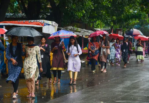
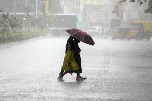
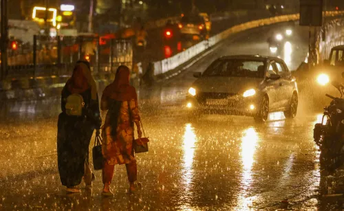
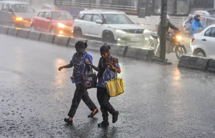
The India Meteorological Department (IMD) on Sunday, 20 September 2026, forecast heavy rainfall at isolated places across several districts of Telangana over the next three days, driven by a low-pressure area over the Bay of Bengal that is expected to intensify into a deep depression. Thunderstorms accompanied by lightning and gusty winds of 40 to 50 kmph are also anticipated at isolated locations during this period.
Current Weather System
According to the IMD bulletin, the low-pressure area over the North Andaman Sea and adjoining east-central Bay of Bengal moved west-northwestwards and was centred over the east-central Bay of Bengal at 8:30 am IST on Sunday. The system is expected to concentrate into a depression over the east-central Bay of Bengal by Monday, 21 September, and further intensify into a deep depression over the west-central Bay of Bengal by Tuesday.
By Wednesday morning, the system is likely to reach the west-central and adjoining northwest Bay of Bengal, off the north Andhra Pradesh–south Odisha coasts. An upper-air cyclonic circulation also lies over south coastal Andhra Pradesh and the adjoining west-central Bay of Bengal at 0.9 km above mean sea level, adding to the overall moisture influx over the region.
Districts Under Alert
The Meteorological Centre, Hyderabad, has indicated light to moderate rain or thundershowers at isolated places across several Telangana districts on Sunday, widening to many districts on Monday and Tuesday. For Wednesday, 24 September, heavy to very heavy rainfall is very likely at isolated places in Mancherial, Karimnagar, Peddapalli, Jayashankar Bhupalpally, Mulugu, Bhadradri Kothagudem, Khammam, Mahabubabad, Warangal, Hanumakonda, and Jangaon districts.
Additionally, thunderstorms with lightning and squally winds of 50 to 60 kmph are very likely at isolated places in Adilabad, Komuram Bheem Asifabad, Mancherial, Nirmal, Nizamabad, Jagtial, Rajanna Sircilla, Karimnagar, Peddapalli, Jayashankar Bhupalpally, Mulugu, Bhadradri Kothagudem, and Khammam districts on the same day.
Rainfall Already Recorded
In the 24 hours ending at 8:30 am on Sunday, Kollapur in Nagarkurnool district recorded the highest rainfall of 13.9 cm. According to the Telangana Development Planning Society, Eturanagaram in Mulugu district logged 10.4 cm of rainfall during the same period.
What Residents Should Expect
With the depression poised to track toward the Andhra Pradesh–Odisha coastline, Telangana's eastern and northern districts are likely to bear the brunt of intensified rainfall through mid-week. Residents in low-lying and flood-prone areas of the named districts are advised to remain alert to local administration advisories. This weather event comes during the tail end of the southwest monsoon season, when Bay of Bengal systems typically accelerate rainfall over interior peninsular India.
Point of View
And this system is following a textbook path. What merits attention is the concentration of warnings in districts — Mulugu, Bhadradri Kothagudem, Khammam — that already sit along major river systems prone to flash flooding. The IMD bulletin is technically precise, but the on-ground question is whether district administrations translate colour-coded alerts into pre-emptive evacuations rather than reactive responses, which has historically been the weak link in India's last-mile disaster preparedness.
NationPress
20 Sept 2026
Frequently Asked Questions
Which Telangana districts are under heavy rain alert from the IMD?
The IMD has placed 11 districts — Mancherial, Karimnagar, Peddapalli, Jayashankar Bhupalpally, Mulugu, Bhadradri Kothagudem, Khammam, Mahabubabad, Warangal, Hanumakonda, and Jangaon — under a heavy to very heavy rainfall warning for 24 September 2026. An additional 13 districts face squally wind and thunderstorm alerts on the same day.
What is the Bay of Bengal low-pressure area and how will it affect Telangana?
The low-pressure area is a weather system that formed over the North Andaman Sea and is moving west-northwestward across the Bay of Bengal. It is expected to intensify into a deep depression by Tuesday and approach the north Andhra Pradesh–south Odisha coast by Wednesday morning, drawing heavy rainfall into interior Telangana in the process.
When will the heaviest rainfall hit Telangana?
According to the IMD, the heaviest rainfall is very likely on Wednesday, 24 September 2026, when multiple eastern and northern Telangana districts could receive heavy to very heavy rain, alongside thunderstorms and winds of 50–60 kmph.
How much rain has Telangana already received?
In the 24 hours ending at 8:30 am on Sunday, 20 September, Kollapur in Nagarkurnool district recorded the highest rainfall of 13.9 cm. Eturanagaram in Mulugu district logged 10.4 cm during the same period, according to the Telangana Development Planning Society.
What precautions should residents in affected districts take?
Residents in the named districts — particularly in low-lying and river-adjacent areas — should monitor advisories from local authorities and district administrations. The IMD's warnings cover lightning, gusty winds, and potential flooding risk, especially in districts along major river corridors like Khammam and Bhadradri Kothagudem.