Kashmir heatwave: Temperatures to hit 35-36°C in next 2 days before wet spell

Synopsis
Kashmir is bracing for a two-phase weather swing: scorching heat of 35–36°C over the next two days, followed by a potentially dangerous wet spell peaking on 21–22 July. The Met department has flagged flash flood and landslide risk in the Chenab Valley and Pir Panjal Range, and has asked farmers to halt operations and tourists to plan around the hazard window.
Key Takeaways
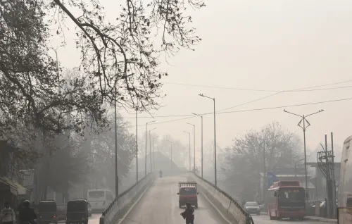
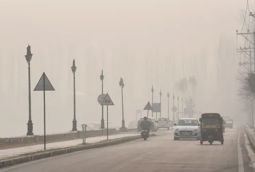
Maximum temperatures in the Kashmir Valley are forecast to reach 35–36°C on 16–18 July .
A significant wet spell is expected from 19 July , with peak rainfall activity on 21 and 22 July .
Flash floods, landslides, and mudslides are possible in the Chenab Valley , Pir Panjal Range , and hilly areas of J&K on 20–22 July .
Farmers have been advised to suspend all farm operations from 20 to 23 July .
Travellers, tourists, and trekkers have been urged to plan accordingly in view of heavy rainfall and hazard risk.
River and stream water levels are expected to rise significantly, especially in the Jammu division .
The Jammu & Kashmir Meteorological Department on Thursday, 16 July forecast that maximum temperatures in the Kashmir Valley will climb to 35–36 degrees Celsius over the next two days, before a significant wet spell sweeps across Jammu & Kashmir from 19 July onwards. The forecast comes amid an unusually warm summer in the Valley, where temperatures have been running above seasonal norms.
Near-Term Heat Outlook
Mukhtar Ahmad, Director of the local Meteorological Department, confirmed that the mercury is expected to peak at 35–36°C in the Valley on 16–18 July, accompanied by generally hot and humid conditions. Brief spells of rain or thundershowers are possible at a few places during this period, offering only limited relief.
Wet Spell to Follow: Day-by-Day Forecast
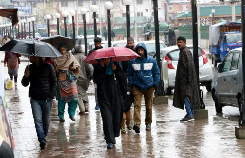
The weather pattern is set to shift markedly from 19 July, when partly cloudy skies and light to moderate rain or thundershowers are expected at many places, with brief intense heavy showers at isolated locations in the Jammu division.
The most active phase of the wet spell is forecast for 20–23 July, with generally cloudy weather and multiple spells of light to moderate rain at most places. Peak rainfall activity is expected on 21 and 22 July, with heavy rain and brief intense heavy showers likely at a few districts in both the Kashmir division and the Jammu division. A residual spell of rain or thundershowers at a few places is forecast for 24–25 July.
Flash Flood and Landslide Risk
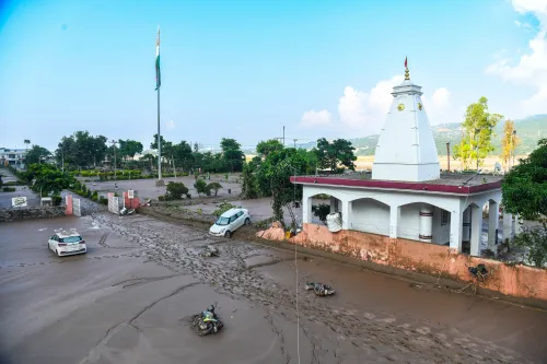
The Met department has flagged a possibility of flash floods, landslides, and mudslides at vulnerable locations in the Chenab Valley, the Pir Panjal Range, and hilly areas of the Kashmir division during 20–22 July. Water-logging and minor flooding are possible in low-lying areas, and a significant rise in water levels is anticipated in rivers, streams, and local nallahs — particularly in the Jammu division.
Advisories for Farmers, Travellers, and Tourists
The Met department has issued specific advisories urging farmers to suspend all agricultural operations from 20 to 23 July. Travellers, transporters, tourists, and trekkers have been advised to plan their movements carefully in view of the forecast heavy rainfall and associated hazards. The advisory notes that peak activity is expected during late afternoon, evening, late night, and early morning hours on the high-risk days.
With the wet spell set to intensify through next week, authorities and residents in vulnerable zones across J&K are being urged to remain vigilant and stay updated on official forecasts.
Point of View
With little buffer for residents or infrastructure to adjust. The Chenab Valley and Pir Panjal Range are perennially vulnerable to landslides, and advisories alone are insufficient without pre-positioned emergency response. The 20–22 July window deserves close official attention: if peak rainfall coincides with already-elevated river levels from the heat-driven snowmelt, the flood risk could be compounded beyond what the advisory language currently conveys.
NationPress
15 Oct 2026
Frequently Asked Questions
What is the maximum temperature forecast for Kashmir in the next two days?
The Meteorological Department has forecast maximum temperatures of 35–36 degrees Celsius in the Kashmir Valley on 16–18 July , accompanied by hot and humid conditions and the possibility of brief thundershowers.
When will the wet spell begin in Jammu & Kashmir?
The wet spell is expected to begin from 19 July , with peak rainfall activity forecast on 21 and 22 July . Heavy rain and intense showers are likely at several districts in both the Kashmir and Jammu divisions during this period.
Which areas face flash flood and landslide risk?
The Met department has flagged flash flood, landslide, and mudslide risk for the Chenab Valley , the Pir Panjal Range , and hilly areas of the Kashmir division during 20–22 July . Low-lying areas may also face water-logging and minor flooding.
What advisory has been issued for farmers in J&K?
Farmers across J&K have been advised to suspend all agricultural operations from 20 to 23 July in view of the forecast heavy rainfall and associated hazards during the peak wet spell.
Should tourists and trekkers change their plans in Kashmir?
Yes, the Met department has specifically advised travellers, transporters, tourists, and trekkers to plan their movements carefully around the 19–22 July period, when heavy rainfall, flash floods, and landslides pose significant risks across vulnerable zones in J&K.