Will the End of ‘Chillai Kalan’ Bring Snowfall to Kashmir?
Synopsis
As Kashmir approaches the end of the intense winter phase known as 'Chillai Kalan', residents hold their breath in anticipation of the forecasted snowfall. With only days left, the impact of the weather on agriculture and water resources raises pressing concerns for the community's future.
Key Takeaways
‘Chillai Kalan’ is critical for replenishing water bodies.
Residents are anxious about the weather forecast.
Low temperatures are being recorded across the region.
Widespread precipitation is anticipated shortly.
Travel adjustments may be necessary due to weather conditions.
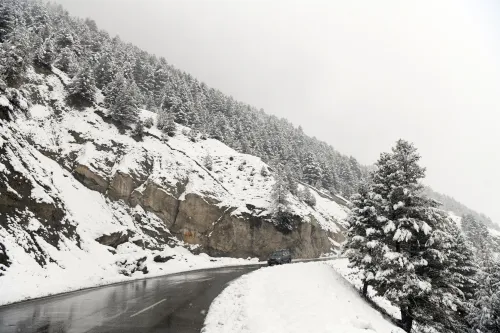
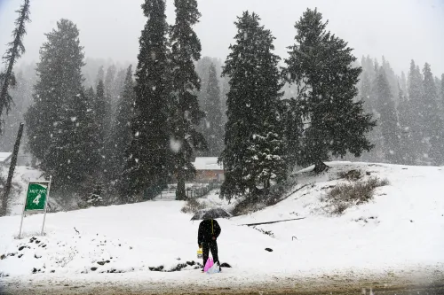
Srinagar, Jan 21 (NationPress) With just 9 days remaining until the conclusion of the 40-day period known as ‘Chillai Kalan’, residents of Kashmir are eagerly anticipating the meteorological prediction for moderate to heavy snowfall expected to commence Thursday afternoon.
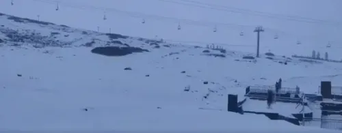
So far, Srinagar city and other low-lying regions in the Valley have yet to experience their first snowfall of the season. The 40-day duration of severe winter, referred to as ‘Chillai Kalan’, is crucial for replenishing water bodies during the warmer months, and it is set to conclude on January 30.
There has been no significant snowfall in the higher altitudes of Jammu and Kashmir, raising concerns among farmers, orchardists, and the general populace.
Since the onset of Chillai Kalan on December 21, the weather has largely remained dry.
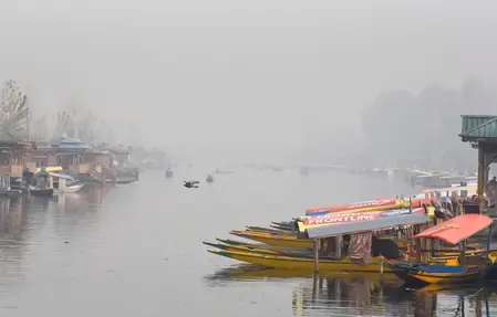
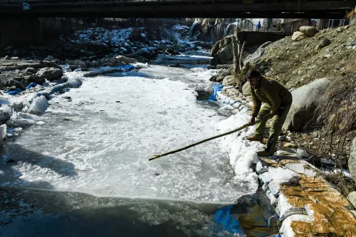
Reports from mountainous areas of J&K indicate minimal snowfall. Rivers, streams, and springs are flowing at critically low levels, leading to some houseboats on the Jhelum River being stranded due to insufficient water flow.
Many springs that support local communities in the Valley are at a bare minimum, and unless the MET department's forecast of moderate to heavy precipitation beginning tomorrow afternoon holds true, the upcoming days and months may pose significant challenges for residents of J&K.
The MET department has issued a forecast indicating widespread rain and snow starting January 22 afternoon, with the most intense conditions expected on January 23.
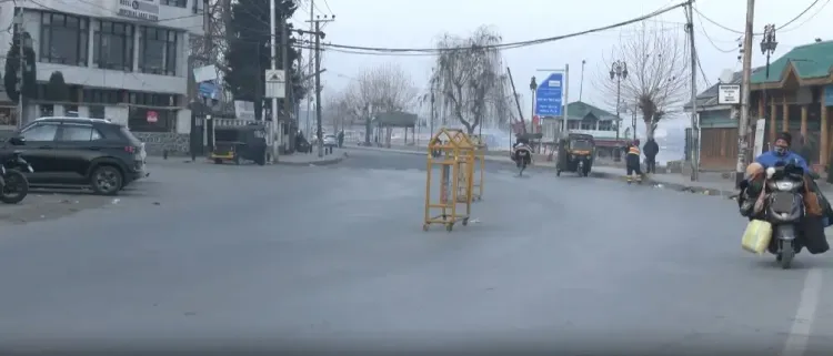
Air and surface transportation disruptions have also been predicted, prompting tourists and transport operators to adjust their travel plans accordingly.
On Wednesday, Srinagar recorded a low of minus 2.4 degrees Celsius, while Gulmarg and Pahalgam registered minus 5 and minus 3.8 degrees Celsius, respectively.
Jammu city saw a minimum temperature of 7.2 degrees, Katra town at 7.6, Batote at 2.5, Banihal at minus 2.3, and Bhaderwah at minus 1.8 degrees Celsius.
Point of View
The situation in Jammu and Kashmir underscores the critical intersection between climate conditions and local livelihoods. The uncertainty surrounding snowfall during this vital winter period reflects broader concerns about environmental stability in the region.
NationPress
3 Jul 2026
Frequently Asked Questions
What is 'Chillai Kalan'?
‘Chillai Kalan’ refers to a 40-day period of severe winter in Kashmir, significant for heavy snowfall that sustains water bodies during the warmer months.
When does 'Chillai Kalan' end?
‘Chillai Kalan’ is set to conclude on January 30.
What are the weather predictions for the coming days?
The MET department forecasts moderate to heavy snowfall beginning January 22, with the most intense conditions expected on January 23.
How has the lack of snowfall affected Kashmir?
The absence of significant snowfall has raised concerns for farmers and the general public, affecting water supply and agricultural productivity.
What temperatures are currently being recorded in Kashmir?
Temperatures in Srinagar have dipped to minus 2.4 degrees Celsius, with other areas like Gulmarg and Pahalgam experiencing even lower temperatures.