IMD forecasts rain across Tamil Nadu; Western Ghats to get showers till July 28

Synopsis
A weak low-pressure circulation off Tamil Nadu's coast is set to bring moderate rain and gusty winds to the Western Ghats through July 28, while interior districts brace for temperatures up to 3°C above seasonal normal — a reminder that the monsoon's reach across the state remains uneven this season.
Key Takeaways
The IMD has forecast widespread rainfall and gusty winds across Tamil Nadu and Puducherry driven by a weak coastal low-pressure circulation.
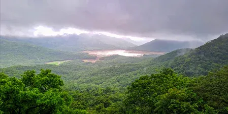
Western Ghats districts are expected to receive moderate rainfall with gusty winds until July 28 .
Chennai is likely to see moderate rain during evening or night hours on Thursday and Friday.
Maximum temperatures in interior Tamil Nadu districts may remain up to 3°C above seasonal average until July 26 .
Residents in hill districts and interior zones have been advised to follow official advisories and take heat-stress precautions.
The India Meteorological Department (IMD) has forecast widespread rainfall and gusty winds across Tamil Nadu and Puducherry over the coming days, driven by a weak low-pressure circulation persisting over the state's coastal areas in the lower atmospheric levels. The weather system is expected to influence conditions across the region through at least July 28.
Western Ghats on Alert
The Western Ghats districts are set to bear the brunt of the weather activity, with the IMD projecting moderate rainfall accompanied by gusty winds in those hilly zones until July 28. Moisture-laden winds funnelling into the hill districts are expected to sustain intermittent showers over successive days. The department has urged residents in these areas to remain updated with official advisories, as isolated locations could experience brief spells of heavy rain and strong gusts.
Rain Outlook for Chennai and Coastal Areas
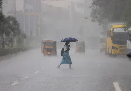
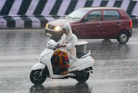
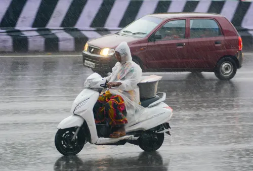
For Chennai, the IMD has predicted partly cloudy skies through the day, with moderate rainfall likely at a few places during the evening or night hours. Occasional gusty winds are expected to accompany these brief spells. Moderate rainfall is also likely at isolated places across Tamil Nadu and Puducherry on Thursday and Friday under the influence of the prevailing circulation. The rest of the state is expected to see light to moderate scattered showers, with intensity remaining lower than in the Ghats region.
Above-Normal Temperatures in Interior Districts
Despite the rainfall forecast, the IMD has warned that maximum temperatures in the interior districts of Tamil Nadu are likely to remain up to 3 degrees Celsius above the seasonal average until July 26. Residents in these zones — particularly those engaged in outdoor activities — have been advised to take precautions against heat stress during daytime hours. In contrast, temperatures across the remaining parts of Tamil Nadu and Puducherry are expected to stay close to normal levels during the forecast period.
What Is Driving the Weather
Meteorologists attribute the current pattern to the combined effect of the weak coastal low-pressure circulation and prevailing seasonal atmospheric conditions. This is a characteristic mid-monsoon setup for Tamil Nadu, where low-level circulations over the Bay of Bengal coast periodically reinforce rainfall activity even when a well-marked low-pressure system is absent. The forecast reflects conditions typical of the July–August monsoon window for the state, though the above-normal heat in interior districts underscores the uneven distribution of monsoon benefits this season.
Advisories and What to Watch
The IMD has advised the public — especially in Western Ghats districts — to monitor official weather bulletins closely, as localised conditions can shift rapidly. Authorities in vulnerable hill districts may issue additional alerts if rainfall intensity picks up beyond current projections. Residents across the state should remain prepared for intermittent spells through the end of July.
Point of View
Urging residents to 'stay updated,' is appropriately cautious given how quickly localised hill-district conditions can escalate. What the bulletin does not address is whether district administrations in vulnerable Ghats areas have activated early-warning protocols — that gap between meteorological advisories and on-ground preparedness remains the recurring weak link in Tamil Nadu's weather response.
NationPress
23 Jul 2026
Frequently Asked Questions
What is the IMD weather forecast for Tamil Nadu this week?
The IMD has forecast moderate to light rainfall and gusty winds across Tamil Nadu and Puducherry through July 28, driven by a weak low-pressure circulation over the state's coastal areas. The Western Ghats districts are expected to receive the heaviest activity, while the rest of the state sees scattered light to moderate showers.
Which areas in Tamil Nadu will receive the most rainfall?
The Western Ghats districts are forecast to receive the most rainfall, with moderate showers and gusty winds expected to persist until July 28. Moisture-laden winds funnelling into the hilly terrain are expected to sustain intermittent rainfall over several days.
What is the Chennai rain forecast for Thursday and Friday?
Chennai is expected to have partly cloudy skies through the day, with moderate rainfall likely at a few places during the evening or night hours on Thursday and Friday. Occasional gusty winds may accompany these brief spells.
Why are temperatures above normal in interior Tamil Nadu despite the rain?
The IMD attributes this to the uneven distribution of the monsoon system — the weak coastal circulation channels most rainfall toward the Western Ghats and coastal zones, leaving interior districts drier and warmer. Maximum temperatures in those areas may remain up to 3°C above seasonal average until July 26.
What precautions has the IMD advised for Tamil Nadu residents?
The IMD has advised residents in Western Ghats districts to monitor official weather bulletins closely, as localised conditions can lead to brief spells of heavy rain and strong winds. Those in interior districts are urged to take precautions against heat stress, especially during daytime outdoor activities.