Paizhen Fault threatens Tibet's Yarlung Tsangpo mega dam, geologists warn
Synopsis
Chinese state-backed geologists have found that the active Paizhen Fault — seismically alive since the Ice Age — runs directly beneath the world's largest hydropower dam being built on Tibet's Yarlung Tsangpo River, threatening its structural integrity and raising alarm for downstream India and Bangladesh.
Key Takeaways
Geologists from Chengdu University of Technology and the China Geological Survey identified the Paizhen Fault as a direct structural threat to the Yarlung Tsangpo hydropower project.
The findings were published in the journal Sedimentary Geology and Tethyan Geology , supervised by the state-owned China Geological Survey , in June 2026 .
The Paizhen Fault has been 'highly active since the Pleistocene ' and threatens dams, roads, bridges, tunnels, and the reservoir area, according to the researchers.
The geologists recommended strengthening slope stability and implementing retaining protections to mitigate landslide and collapse risks.
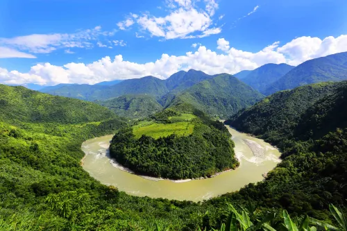
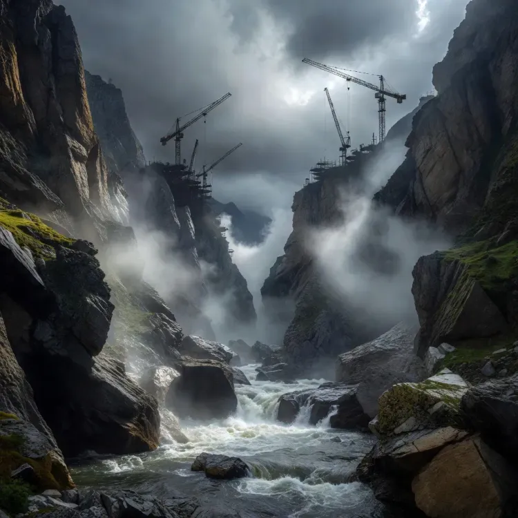
The dam on Tibet 's Yarlung Tsangpo (Brahmaputra) River is designed to be the world's largest hydropower project, with major downstream implications for India and Bangladesh .
Chinese geologists have confirmed that an active fault line running directly beneath the world's largest hydropower project on Tibet's Yarlung Tsangpo (Brahmaputra) River poses a significant structural threat to the dam now under construction. The warning, published last month in the Chinese-language journal Sedimentary Geology and Tethyan Geology, supervised by the state-owned China Geological Survey, raises serious questions about the long-term integrity of the most ambitious hydropower undertaking in history.
The Fault at the Centre of the Risk
The research team — drawn from the Chengdu University of Technology, the Civil-Military Integration Centre of the China Geological Survey, and the Middle Yarlung Zangbo River Natural Resources Observation and Research Station — identified the Paizhen Fault as the primary hazard. According to the researchers, the fracture in the Earth's crust sits in the eastern Himalayan region and will exert direct pressure on the project's infrastructure.
'The Paizhen Fault, which has been highly active since the Pleistocene [also known as the Ice Age], will have a major impact on the structural stability and construction of nearby structures, including dams, roads, bridges and tunnels, as well as the reservoir area,' the researchers wrote.
Why It Matters
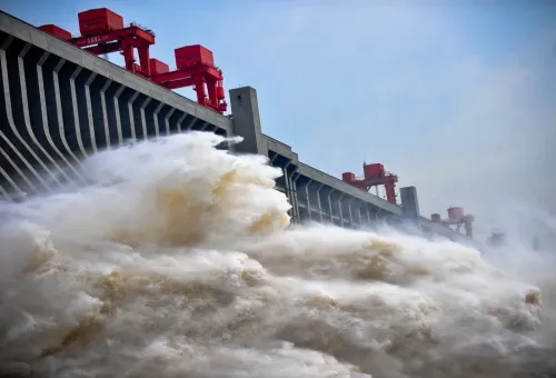
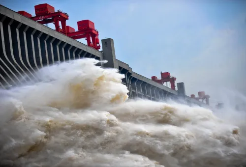
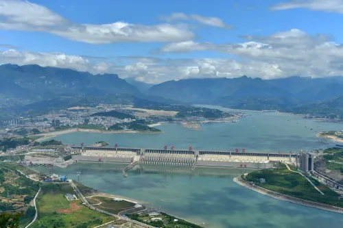
The Yarlung Tsangpo project is designed to be the single largest hydropower installation on Earth, dwarfing even the Three Gorges Dam. Its location in one of the world's most seismically volatile zones — the collision boundary between the Indian and Eurasian tectonic plates — has long drawn scrutiny from independent geologists. The dam sits upstream of India and Bangladesh, meaning any structural failure would carry catastrophic downstream consequences for hundreds of millions of people.
The Holocene and Pleistocene activity of the Paizhen Fault indicates that seismic events in the region are not merely historical — they are ongoing geological realities that engineers must account for in real time.
Recommended Mitigations
The geologists urged engineers to strengthen slope stability and implement retaining protections specifically designed to reduce the risk of landslides and structural collapses. The paper stops short of calling for a halt to construction but makes clear that current planning must be revised to address the fault's influence on the Milin-area project zone.
The study's publication in a state-supervised journal suggests the findings carry institutional weight and are unlikely to be dismissed as fringe concerns within China's engineering establishment.
The Competitive Backdrop
China has pressed ahead with the Yarlung Tsangpo project despite sustained diplomatic objections from India, which fears the dam could be used to control water flows into the Brahmaputra River basin — a critical agricultural and ecological lifeline for northeastern India and Bangladesh. The new geological findings add a layer of technical risk to an already geopolitically charged infrastructure programme.
What's Next
Engineers and project planners will now face pressure to respond publicly to the fault-line assessment, particularly given the paper's institutional backing. Independent seismologists and downstream governments — especially India and Bangladesh — are likely to scrutinise the findings closely. Whether China shares updated risk assessments with downstream nations under existing water-sharing frameworks remains the central question to watch.
Point of View
Home to some of the densest agricultural populations in South Asia, and would instantly become an international crisis. This sits at the intersection of China's infrastructure ambitions, its water-diplomacy leverage over India and Bangladesh, and the hard physical limits imposed by one of the planet's most seismically active zones. The fault findings will quietly strengthen the hand of those in New Delhi and Dhaka pressing for binding transboundary water-risk disclosure agreements.
NationPress
8 Oct 2026
Frequently Asked Questions
What is the Paizhen Fault and why does it threaten the Yarlung Tsangpo dam?
The Paizhen Fault is an active fracture in the Earth's crust located in the eastern Himalayan region, directly beneath the site of the Yarlung Tsangpo hydropower project. According to Chinese geologists, it has been highly active since the Pleistocene era and will significantly affect the structural stability of the dam, as well as nearby roads, bridges, tunnels, and the reservoir area.
Who conducted the study on the Yarlung Tsangpo fault line?
The study was conducted by geologists from Chengdu University of Technology, the Civil-Military Integration Centre of the China Geological Survey, and the Middle Yarlung Zangbo River Natural Resources Observation and Research Station. It was published in the Chinese-language journal Sedimentary Geology and Tethyan Geology, supervised by the state-owned China Geological Survey.
Why does the Yarlung Tsangpo dam matter to India and Bangladesh?
The Yarlung Tsangpo River flows downstream into India and Bangladesh as the Brahmaputra River, a critical water source for hundreds of millions of people. Any structural failure or disruption at the dam could have catastrophic consequences for agriculture, water supply, and populations in northeastern India and Bangladesh.
What safety measures did geologists recommend for the Yarlung Tsangpo project?
The research team urged engineers to strengthen slope stability and implement retaining protections to reduce the risk of landslides and structural collapses caused by the Paizhen Fault's activity. The paper did not call for a halt to construction but indicated current planning must be revised.
How large is the Yarlung Tsangpo hydropower project?
The Yarlung Tsangpo project is designed to be the world's largest hydropower installation, surpassing even China's Three Gorges Dam. It is currently under construction on Tibet's Yarlung Tsangpo River in the Milin area of the eastern Himalayas.