Is the Government Utilizing Geospatial Technology as a National Asset for a Developed India?
Click to start listening
Synopsis
Discover how the Indian government is strategically utilizing geospatial technologies as vital national assets for the Viksit Bharat initiative. With insights from Union Minister Dr. Jitendra Singh, learn about the transformative reforms and future mission aimed at modernizing India's geospatial infrastructure.
Key Takeaways
- Geospatial technologies are essential for India's development.
- The government is leveraging these technologies as a national asset for Viksit Bharat.
- Recent reforms have democratized access to high-accuracy geospatial data.
- The National Geospatial Mission aims to create a modern geospatial infrastructure.
- Reliable geospatial data is critical for smart cities and disaster management.
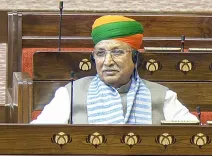
New Delhi, Dec 17 (NationPress) Geospatial technologies are a key element in India's developmental trajectory, with the government harnessing them as a national asset for Viksit Bharat, stated Dr. Jitendra Singh, Union Minister of State (Independent Charge) for Science & Technology, on Wednesday.
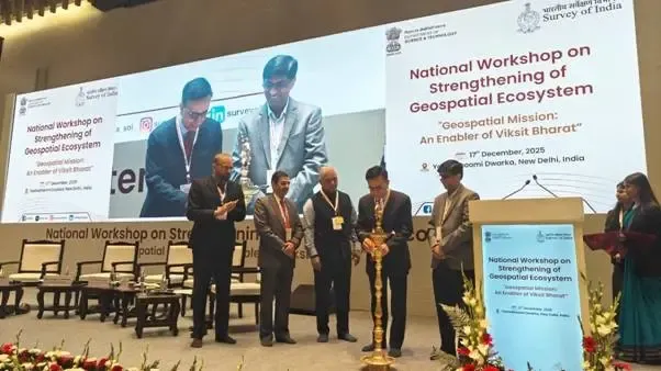
In his address at the National Workshop on “Strengthening of Geospatial Ecosystem- Geospatial Mission: An Enabler of Viksit Bharat” delivered via video, the Minister emphasized that India's geospatial evolution over the past ten years signifies a crucial transition from regulation to empowerment.
“Geospatial information has become a vital facilitator of planning, execution, and service delivery across various sectors, including infrastructure, agriculture, defence, urban development, climate action, and disaster management,” Singh remarked.
He pointed out the significant geospatial liberalization reforms of 2021, followed by the National Geospatial Policy in 2022, asserting that these initiatives have democratized access to high-accuracy geospatial data, ignited innovation, bolstered industry participation, and notably broadened the application of geospatial technologies across different fields.
Continuing this positive trend, the National Geospatial Mission has been introduced as a transformative, comprehensive government initiative aimed at establishing a modern, precise, and easily accessible national geospatial infrastructure in line with the vision of Viksit Bharat 2047.
The Minister underscored that national priorities, including smart cities, road and rail infrastructure, precision agriculture, logistics optimization, natural resource management, disaster risk mitigation, climate action, and next-generation defence readiness, will increasingly rely on dependable, interoperable, and robust geospatial data.
Prof. Abhay Karandikar, Secretary of the Department of Science and Technology, remarked that the Geospatial Guidelines 2021 and the National Geospatial Policy 2022 have established an innovation-driven ecosystem.
“The upcoming National Geospatial Mission will concentrate on geodetic modernization, interoperability, enhancement of geo-ICT infrastructure, integration of advanced technologies such as AI and machine learning, promotion of R&D, and capacity building for a skilled geospatial workforce,” he added.
Point of View
It is evident that the government’s focus on geospatial technologies reflects a significant commitment to enhancing India’s infrastructure and service delivery systems. This approach not only empowers various sectors but also aligns with the broader vision of a developed nation.
NationPress
18/12/2025
Frequently Asked Questions
What are geospatial technologies?
Geospatial technologies involve the collection, analysis, and visualization of geographical data to support decision-making in various sectors.
How is the government planning to use geospatial data?
The government aims to utilize geospatial data for infrastructure development, urban planning, agriculture, and disaster management, ensuring more efficient service delivery.
What is the National Geospatial Mission?
The National Geospatial Mission is a comprehensive initiative aimed at creating a modern, accurate, and accessible national geospatial infrastructure.
What reforms have been introduced in geospatial technology?
Significant reforms include the geospatial liberalization of 2021 and the National Geospatial Policy of 2022, aimed at democratizing access to high-accuracy geospatial data.
Why are geospatial technologies important for India?
They are crucial for enhancing planning, execution, and service delivery across multiple sectors, ultimately contributing to national development.