How is Delhi CM Rekha Gupta Transforming Land Records with Aadhaar-like ULPIN?
Synopsis
Delhi CM Rekha Gupta has launched a revolutionary initiative to assign a 14-digit Unique Land Parcel Identification Number (ULPIN) to every land parcel in the city, aiming to resolve longstanding land disputes. This move is part of a broader strategy to modernize land records and enhance transparency in property ownership, fostering a more efficient and corruption-free environment.
Key Takeaways
Introduction of ULPIN: A 14-digit identification number for land parcels.
Enhanced Transparency: Aims to reduce disputes and improve property documentation.
Government Commitment: Part of a broader strategy to modernize land records.
Technology Utilization: Involves advanced geospatial data and drone technology.
Citizen Empowerment: Simplifies the process of establishing land ownership.
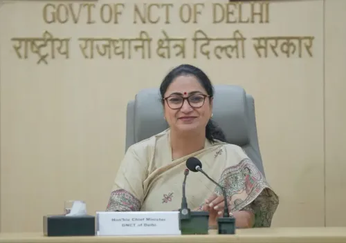
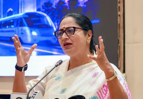
New Delhi, Feb 15 (NationPress) In a groundbreaking move aimed at reducing land-related disputes, Delhi Chief Minister Rekha Gupta announced on Sunday that every land parcel within the city will receive a 14-digit Unique Land Parcel Identification Number (ULPIN), similar to the Aadhaar number issued to citizens.
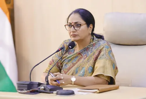
"This initiative is a testament to the government's dedication to modernizing Delhi's land records and alleviating citizens from persistent land conflicts. This system is also known as 'Bhu Aadhaar'," she explained.
"The significant advantage for citizens will be increased convenience. Instead of sifting through numerous documents to prove land ownership, a single number will offer complete property information," the Chief Minister added.
Gupta characterized the ULPIN system as immensely beneficial, noting that it serves not just as a number but as a robust digital tool against corruption and land disputes.
She stressed that this initiative marks a crucial step towards fulfilling Prime Minister Narendra Modi's vision of 'Digital India'.
The Chief Minister acknowledged that the need for this system in Delhi had been long recognized.
The scheme is rooted in the Union government's Ministry of Rural Development and the Department of Land Resources, making it especially relevant for the national capital.
According to Gupta, although the Central government launched this initiative in 2016, it faced implementation challenges in Delhi due to various factors.
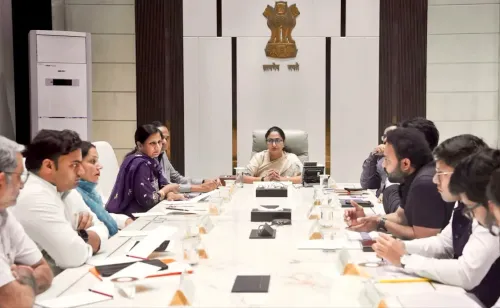
"We are now taking it up in mission mode. The IT Branch of the Revenue Department is tasked with its implementation and will receive assistance from the Survey of India," she detailed.
The Chief Minister elaborated on the extensive advantages of the 'Bhu-Aadhaar' system, stating that it will ensure total transparency in land ownership.
"The 14-digit code will be geo-referenced, significantly reducing disputes over land boundaries. It will also aid in coordinating land data across different government departments, effectively preventing fraudulent transactions and multiple registrations," she noted.
She also mentioned that advanced technology is being utilized for the execution of this scheme.
Nearly 2 terabytes of high-quality geospatial data and drone-based Ortho Rectified Images are being sourced from the Survey of India.
Through this data, accurate ULPINs will be created for all areas of Delhi, including 48 villages already covered under the Survey of Villages and Mapping with Improvised Technology in Village Areas (SVAMITVA) scheme.
Point of View
It is crucial to recognize that this initiative by CM Rekha Gupta is a significant leap towards digitizing land records in Delhi. The implementation of ULPIN reflects a commitment to transparency and efficiency, which can potentially mitigate corruption and disputes. This aligns with the broader national goals of modernization and digital governance, making it a noteworthy development for citizens and the government alike.
NationPress
31 Jul 2026
Frequently Asked Questions
How does ULPIN benefit citizens?
ULPIN simplifies the process of establishing land ownership by providing comprehensive property details through a single number, thereby enhancing convenience and transparency.
What technology is used for implementing ULPIN?
The implementation of ULPIN utilizes advanced technology, including high-quality geospatial data and drone-based Ortho Rectified Images sourced from the Survey of India.
Who is responsible for the implementation of ULPIN?
The responsibility for the implementation of ULPIN has been assigned to the IT Branch of the Revenue Department, with support from the Survey of India.
When was ULPIN introduced?
The ULPIN system was introduced by the Central government in 2016 but faced implementation challenges in Delhi until now.