Delhi-NCR weather turns dry from Wednesday; air quality moderate

Synopsis
Delhi's rains are over — for now. The IMD has called dry weather for the capital and most of northwest India through the first week of October as the southwest monsoon retreats. With AQI already creeping toward the upper moderate band at some stations, the real question is how quickly air quality deteriorates once the rain-clearing effect disappears.
Key Takeaways
Delhi-NCR is expected to turn predominantly dry from Wednesday, 1 October , as the recent rain spell weakens.
The IMD has forecast dry conditions over Delhi , Haryana , Chandigarh , Punjab , and Rajasthan through the first week of October .
Delhi is projected to see a minimum of 24°C and a maximum of 33°C on Wednesday.
The southwest monsoon is in gradual withdrawal from northwest India, accelerating the shift to dry weather.
Delhi's AQI remained in the moderate category, with Jahangirpuri recording the highest reading of 153 .
Heavy rainfall is forecast to continue over the Northeast , southern peninsula , and parts of central India through 4 October .
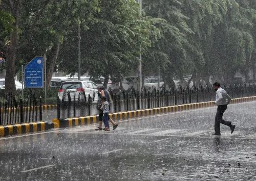
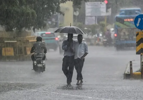
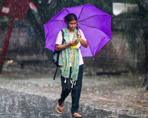
Delhi-NCR is set to experience a marked weather transition from Wednesday, 1 October 2026, as a sustained spell of rain and thunderstorms gives way to predominantly dry conditions, according to the India Meteorological Department (IMD). The shift marks one of the final chapters of the southwest monsoon season, which is now in gradual withdrawal from northwest India.
What the IMD Forecast Says
The IMD has forecast mainly clear skies over Delhi, Haryana, and Chandigarh, with dry weather expected to persist through the first week of October. Punjab, Rajasthan, and most parts of Uttar Pradesh are also expected to remain largely rain-free as the recent atmospheric disturbances weaken and move away from the region.
On Wednesday, Delhi is projected to record a minimum temperature of around 24 degrees Celsius and a maximum of nearly 33 degrees Celsius. Tuesday's showers had briefly lent the capital a winter-like feel, but the reprieve appears short-lived as the broader weather pattern stabilises.
Systems Driving the Change
The contrasting weather patterns across India are being shaped by several active atmospheric systems. A depression over coastal Myanmar and the adjoining Bay of Bengal was moving rapidly north-northwestwards on Tuesday, 30 September, and was expected to weaken into a well-marked low-pressure area, eventually tracking towards southeast Bangladesh and adjoining northeastern India.
Simultaneously, a western disturbance and associated upper-air systems continue to influence parts of north India, while a separate circulation and trough extend across southern India. The interaction of these systems is responsible for the stark north-south divide in weather conditions currently being observed.
Where Rain Will Continue
Even as northwest India dries out, significant rainfall activity is forecast to persist across other regions. Uttarakhand may see isolated rain and thunderstorms through 4 October, while Jammu and Kashmir and Ladakh could witness similar conditions between 2 and 4 October. Himachal Pradesh may also receive isolated showers during this period.
In central India, rain and thunderstorms are likely over parts of Madhya Pradesh, Vidarbha, and Chhattisgarh in the coming days. The Northeast is expected to remain relatively wetter, with rainfall forecast over Assam, Meghalaya, Arunachal Pradesh, Nagaland, Manipur, Mizoram, and Tripura through 4 October, with some areas likely to receive heavy rainfall.
Southern India is also expected to remain a significant zone of precipitation. The IMD has forecast isolated heavy showers over parts of the southern peninsula over the next four to five days, with Tamil Nadu, Kerala, and South Interior Karnataka among the areas likely to receive heavy rainfall.
Delhi Air Quality Remains Moderate
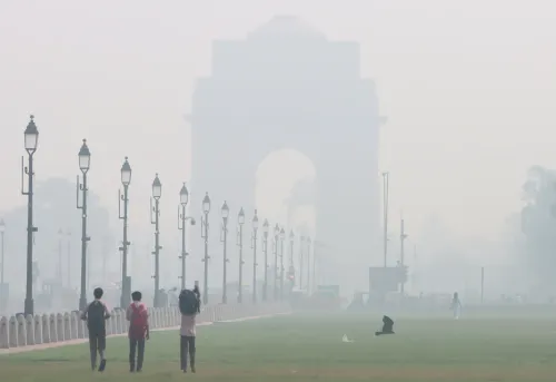
Alongside the weather transition, Delhi's Air Quality Index (AQI) remained in the 'moderate' category on Tuesday. Station-wise readings included Jahangirpuri at 153, Pusa at 149, IIT Delhi at 140, CRRI Mathura Road at 138, Wazirpur at 134, Commonwealth Sports Complex at 122, North Campus at 122, R K Puram at 122, Punjabi Bagh at 113, Sirifort at 105, IGI Airport (T3) at 101, DTU at 100, Mandir Marg at 97, ITO at 86, and Aya Nagar at 79, among others.
With the monsoon retreating and dry conditions setting in, air quality in Delhi is likely to come under closer scrutiny in the weeks ahead, as the post-monsoon period typically sees a gradual deterioration driven by stubble burning and reduced wind dispersion.
Point of View
But the timing matters for Delhi's air quality outlook. The rain of the past several days has been suppressing particulate matter; as dry conditions take hold and temperatures moderate, the capital enters a historically vulnerable window — stubble burning in Punjab and Haryana typically intensifies through October, and with wind speeds dropping, the AQI trajectory from 'moderate' to 'poor' can be swift. The moderate readings today, with Jahangirpuri already at 153, are less a reassurance than a baseline to watch. The IMD forecast is about weather; the harder governance question is what the pollution control authorities are doing before the seasonal crunch arrives.
NationPress
30 Sept 2026
Frequently Asked Questions
Will it rain in Delhi-NCR this week?
According to the IMD, Delhi-NCR is expected to remain predominantly dry from Wednesday, 1 October, through the first week of October, as the recent rain and thunderstorm spell weakens. The southwest monsoon is in gradual withdrawal from northwest India.
What is Delhi's weather forecast for 1 October 2026?
Delhi is likely to record a minimum temperature of around 24 degrees Celsius and a maximum of nearly 33 degrees Celsius on Wednesday, 1 October, under mainly clear skies, according to the IMD.
What is Delhi's air quality today?
Delhi's air quality remained in the 'moderate' category on 30 September, with AQI readings ranging from 79 at Aya Nagar to 153 at Jahangirpuri. Stations including Pusa (149), IIT Delhi (140), and CRRI Mathura Road (138) also recorded readings in the upper moderate range.
Which parts of India will still receive heavy rainfall?
Even as northwest India turns dry, heavy to very heavy rainfall is forecast over the Northeast — including Assam, Meghalaya, and Arunachal Pradesh — as well as Tamil Nadu, Kerala, and South Interior Karnataka through approximately 4 October. Parts of Madhya Pradesh, Vidarbha, and Chhattisgarh are also expected to receive rain.
Why is northwest India turning dry while the rest of India still has rain?
The contrasting conditions are driven by multiple atmospheric systems: a weakening depression over coastal Myanmar is tracking towards northeast India, a western disturbance is influencing north India, and a separate trough is sustaining rainfall over southern India. As the southwest monsoon withdraws from northwest India, that region loses its primary rain-producing mechanism.