Typhoon Dolphin: China issues red alert as storm targets Zhejiang, Fujian coast
Synopsis
China has activated its highest typhoon alert as Dolphin targets the Zhejiang-Fujian coastline with Force 15-16 gusts and days of torrential rain ahead. Crucially, forecasters warn the storm's inland march means its impact will outlast landfall — with Beijing, Tianjin, and Hebei in the frame for heavy rain as late as next Sunday.
Key Takeaways
China issued a red alert — its highest typhoon warning — on Sunday, 9 August as Typhoon Dolphin approached the east coast.
Landfall is forecast between Sanmen, Zhejiang and Fuding, Fujian , from Sunday evening to early Monday.
Gusts near the typhoon centre could reach Force 15 to 16 ; coastal winds expected at Force 9 to 12 .
Heavy rain warnings extend to Zhejiang, Anhui, Henan, Hebei, Shanghai, Jiangsu and more, through Wednesday .
Secondary risks include mountain torrents, geological disasters, and urban waterlogging across four provinces .
Remnant vortex expected to bring heavy rain to Beijing-Tianjin-Hebei and Liaoning from Thursday to Sunday .
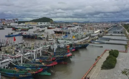
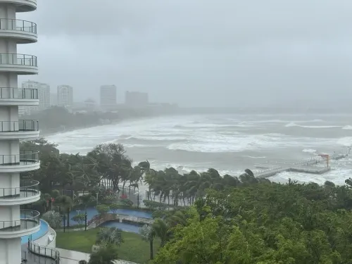
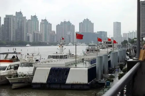
China's National Meteorological Centre (NMC) on Sunday, 9 August activated a red alert — the highest tier in the country's typhoon warning system — as Typhoon Dolphin bore down on the nation's east coast. The storm is forecast to make landfall between Sanmen in Zhejiang Province and Fuding in Fujian Province from Sunday evening through the early hours of Monday.
Why Authorities Raised the Highest Alert
NMC chief forecaster Wang Haiping cited three compounding factors: the typhoon's extreme rainfall intensity, its unusually wide impact range, and the prolonged duration of its effects. In response, China's meteorological authority on Sunday also upgraded its emergency response for severe meteorological disasters from Level III to Level II, signalling a significant escalation in preparedness measures.
Regions in the Storm's Path
From Sunday through Wednesday, heavy downpours are expected across northern Fujian, Zhejiang, Shanghai, northern Jiangxi, Jiangsu, Anhui, eastern Hubei, central and eastern Henan, and southern Shandong. Forecasters have flagged central-eastern Zhejiang and southern Anhui as facing the gravest risk of severe torrential rain.
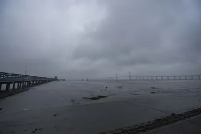
Coastal stretches along the East China Sea, Hangzhou Bay, and the Yangtze River Estuary are expected to experience sustained winds of Force 9 to 12, with gusts reaching Force 11 to 14. Near the typhoon's centre, gusts could peak at Force 15 to 16 — a level capable of causing catastrophic structural damage.
Secondary Disaster Risks
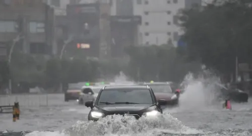
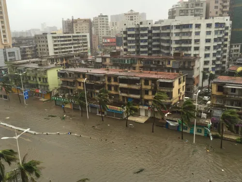
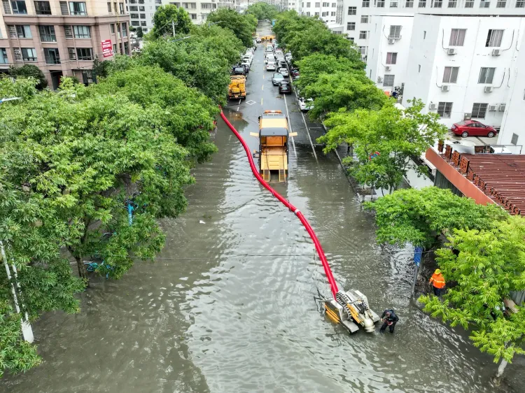
Authorities have warned that the danger does not end with wind and rain. Zhejiang, Anhui, Henan, and Hebei face elevated risks of mountain torrents, geological disasters, and flash floods in small and medium-sized rivers. Several cities in these provinces also face high probability of urban waterlogging as drainage systems are tested by sustained precipitation.
What Happens After Landfall
The NMC forecasts Typhoon Dolphin to track northwestward and gradually weaken after making landfall, before its remnant vortex turns northward after Wednesday. Wang cautioned against complacency: 'A typhoon landfall does not mean its impact is over. After Dolphin makes landfall, it will push further inland,' he said.
From Thursday to Sunday, the Beijing-Tianjin-Hebei region, northern Shandong, and Liaoning are expected to receive heavy rainfall, with some areas bracing for severe torrential rain — extending the storm's effective reach deep into northern China well after the initial coastal impact.
Point of View
A reminder that China's flood vulnerability extends far beyond its coastline. The compounding risk of secondary disasters in Zhejiang, Anhui, and Henan, which have already seen extreme weather events in recent years, means the real damage tally may be determined not by wind at the shore but by what follows inland.
NationPress
24 Sept 2026
Frequently Asked Questions
What is Typhoon Dolphin and where is it expected to make landfall?
Typhoon Dolphin is a major storm that activated China's highest red alert warning on 9 August. It is forecast to make landfall along the east coast between Sanmen in Zhejiang Province and Fuding in Fujian Province, from Sunday evening through the early hours of Monday.
Why did China issue a red alert for Typhoon Dolphin?
The red alert was issued due to the typhoon's heavy rainfall intensity, wide geographic impact, and prolonged duration, according to NMC chief forecaster Wang Haiping. China's meteorological authority simultaneously upgraded its emergency disaster response from Level III to Level II.
Which regions of China are most at risk from Typhoon Dolphin?
The immediate coastal danger zones are Zhejiang and Fujian, but heavy rain is forecast for Shanghai, Jiangsu, Anhui, Henan, Hebei, and Shandong through Wednesday. The Beijing-Tianjin-Hebei region and Liaoning face further heavy rainfall from Thursday to Sunday as the storm's remnant vortex moves northward.
What secondary disasters are forecasters warning about?
Authorities have flagged elevated risks of mountain torrents, geological disasters, and flash floods in small and medium-sized rivers across Zhejiang, Anhui, Henan, and Hebei. Several cities in these provinces also face high risk of urban waterlogging.
Will Typhoon Dolphin weaken after making landfall?
The NMC forecasts the typhoon will move northwestward and gradually weaken after landfall, but its remnant vortex will turn northward after Wednesday. Forecasters have explicitly warned that inland impacts will continue well after the initial coastal landfall.